Drone2Map Turns Your Drone Into an Enterprise Productivity Tool
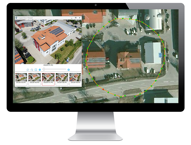
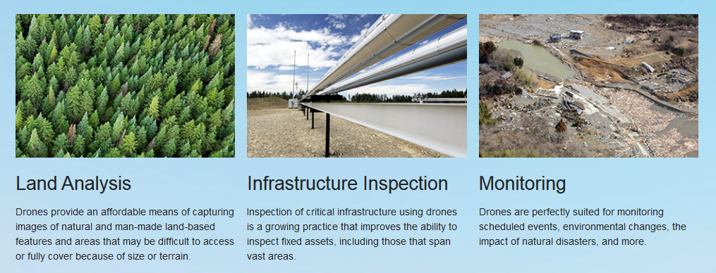
A new desktop app from Esri turns raw still imagery captured by drones into professional 2D and 3D imagery products. Drone2Map for ArcGIS means that affordable imagery is available on demand for land analysis, infrastructure inspection, and monitoring events such as natural disasters and environmental changes.

“Drones are an emerging technology with the potential to revolutionize how we work across many industries,” said Esri president Jack Dangermond, who announced the beta release of Drone2Map for ArcGIS at the Esri Federal GIS Conference earlier this month in Washington, DC. “We built Drone2Map for ArcGIS to give people the ability to process, use, and share imagery — all within ArcGIS.”
Imagery products that can be created with Drone2Map for ArcGIS include orthomosaics, digital surface models, and 3D point clouds and meshes. The app detects camera and sensor parameters and then intelligently applies appropriate defaults.
In the field, Drone2Map for ArcGIS offers rapid imagery processing, so users can make sure they’ve captured everything they need right away, avoiding costly return trips. The imagery can be used immediately in ArcGIS to provide a clear, accurate picture of any asset or area for mapping, analysis, and decision making.

—–
Free trials of Drone2Map for ArcGIS are available through a beta program. Visit esri.com/drone2map.