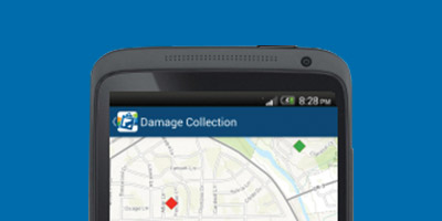
Collector for ArcGIS enables organizations to use maps to gather data in the field and to synchronize the results with their enterprise GIS data. With Collector for ArcGIS you can update data in the field, log your location, and put the data you capture back into your central GIS database directly from your phone or mobile device. This increases accuracy and helps eliminate recording errors. Fieldworkers are much more efficient and accurate, reducing error and time. And Collector for ArcGIS increases the speed at which the information you collect in the field can be put to work throughout your organization.
You can download maps to your device to work offline; use GPS to create and update map data, points, lines, and area features; fill out easy-to-use map-driven forms; find places and get directions; track and report areas you visited—all these are functions of Collector for ArcGIS.
Anywhere that you see people doing work in the field there’s a potential for the application of Collector for ArcGIS. Some examples include:
Tree Inventory
With mobile devices, tree inspectors working in suburban neighborhoods gather information about tree health and maintenance work.

Damage Assessment
After the storm passes, damage assessment teams in tornado-prone Texas are deployed with tablets and smartphones to record its effects.

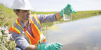
Water Quality Monitoring Sites
Health and environmental departments inspect public waterways across the state of Florida to determine water quality status.

Learn more about Collector for ArcGIS.
—–
This post is excerpted from The ArcGIS Book: 10 Big Ideas about Applying Geography to Your World. The twin goals of this book are to open your eyes to what is now possible with Web GIS, and then spur you into action by putting the technology and deep data resources in your hands. The book is available through Amazon.com and other booksellers, and is also available at www.TheArcGISBook.com for free.
