September 28, 2017 |
Matt Ball | Mapping
All Articles
-
-
September 27, 2017 |
Matt Ball |Public Safety A Drone-eye View Aids Humanitarian Missions
-
September 26, 2017 |
Dawn Wright |Mapping Spatial Analysis Ties Valley Fever Increase to Sea Temperature Rise
-
September 21, 2017 |
Matt Ball |Mapping Data Doesn't Provide All the Answers
-
September 21, 2017 |
Caitlyn Raines |Sustainability Tracing Each Oyster from Tide to Table
-
September 15, 2017 |
Este Geraghty, MD, MS, MPH, GISP |Mapping Infectious Mosquitoes Pose Increasing Health Threat
-
September 11, 2017 |
Matt Ball |Equity and Social Justice Los Angeles County Funds Parks in Perpetuity
-
September 8, 2017 |
Matt Ball |Infrastructure Profiling Bill Miller: On Geodesign and Problem Solving
-
September 5, 2017 |
Matt Ball |Equity and Social Justice Los Angeles County Pinpoints Park Deficits
-
September 1, 2017 |
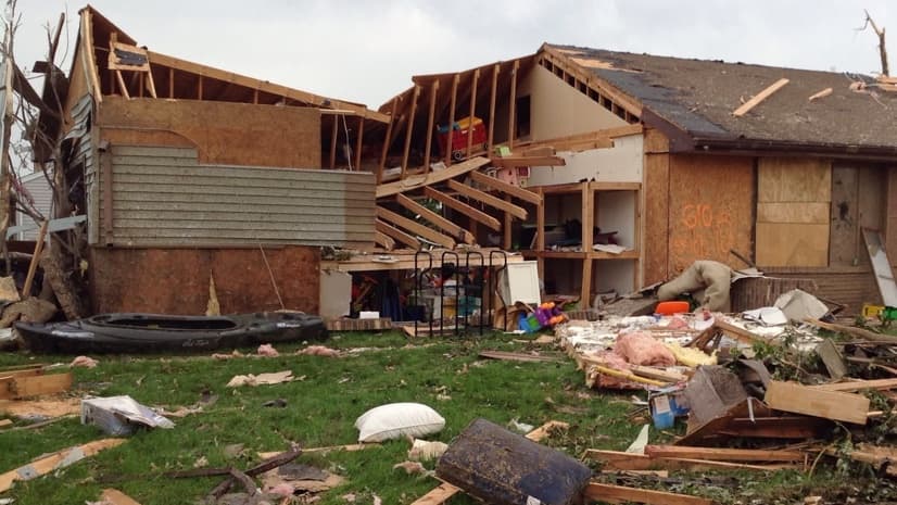
Keith Mann |Public Safety Timely Assessments Ease Tornado Recovery
-
August 30, 2017 |
Matt Ball |Infrastructure A 3D Model Provides the Vision to Combat Blight
-
August 28, 2017 |
Matt Ball |Equity and Social Justice Helping Los Angeles Tackle the Need for Park Equity
-
August 16, 2017 |
Charlie Fitzpatrick |Mapping Students Embrace GIS for Project-based Learning
-
August 16, 2017 |
Matt Ball |Mapping Maps Create Compelling Connections
-
August 16, 2017 |
Matt Ball |Mapping Relating Innovation in the Real World to the Power of GIS

