December 16, 2019 |
Scot McQueen | Natural Resources
All Articles
-
-
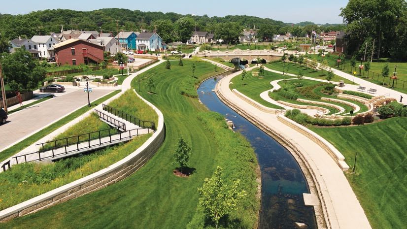
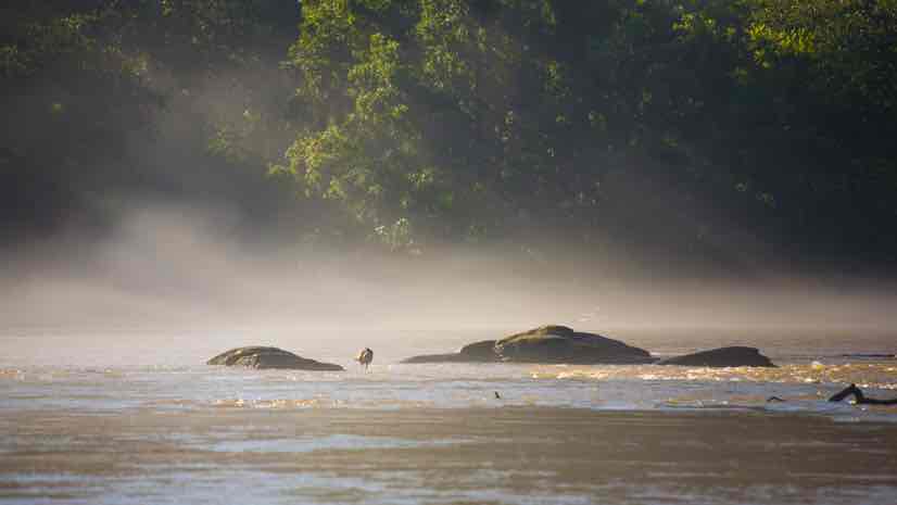
December 10, 2019 |
Christa Campbell |Resilience Dubuque Tackles Chronic Flooding, Restoring Resilience to a Disadvantaged Area
-
December 5, 2019 |
Dawn Wright |Mapping XPRIZE Partners with Esri on Ocean Mapping Challenge
-
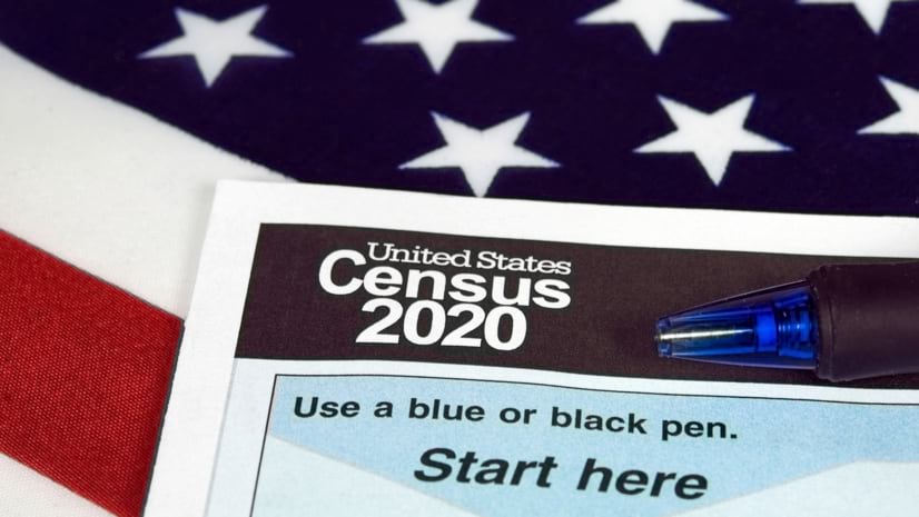
November 26, 2019 |
Linda Peters |Mapping How GIS Helps Monitor Cybersecurity Threats to the US Census
-
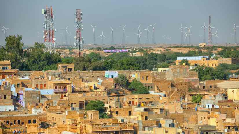
November 12, 2019 |
Bill Meehan |Infrastructure Amid Drastic Change, Turkey’s Enerjisa Improves Country’s Electric Service
-
November 7, 2019 |
John Beck |Public Safety Mapping Canada's Missing Children to Quickly Reunite Them with Family
-
November 5, 2019 |
Ben Conklin |Public Safety Cybersecurity: The Geospatial Edge
-
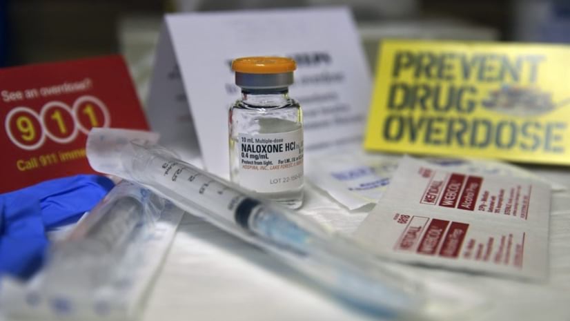
October 29, 2019 |
Jeremiah Lindemann |GIS for Good Locating America's Opioid Crisis—Without the Stigma of Addiction
-
October 22, 2019 |
Dawn Wright |Mapping Global Citizen Science Effort Marks the Fiftieth Anniversary of Earth Day
-
October 16, 2019 |
Brett Dixon |Infrastructure Automation and Location Intelligence Gives Jio the Edge to Grow Quickly
-
October 9, 2019 | Multiple Authors |
Mapping How Drone Imagery Helps Texas 9-1-1 Agency Stay Crisis-Ready Despite Growth
-
October 8, 2019 |
Heather Smith |Mapping How are maps made?
-
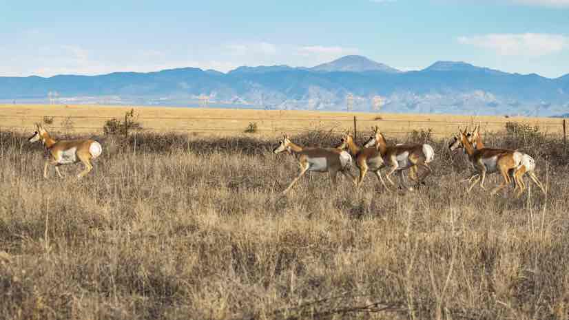
October 3, 2019 |
Makenna Sones |Conservation Reveal: Maps and Tech that Protect Wildlife Migration Routes
-
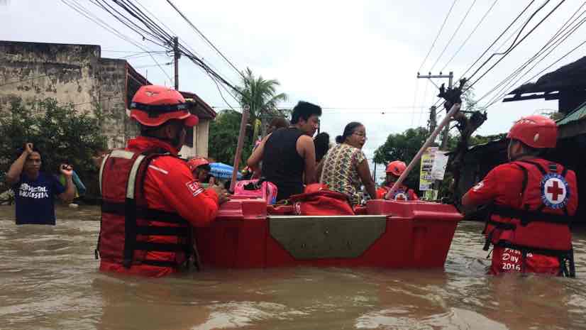
October 1, 2019 |
James Miller |Public Safety Smart Maps Help Philippine Red Cross Respond Quickly to Hundreds of Disasters
-
September 24, 2019 |
Jen Van Deusen |Infrastructure Assessing Economic Water Scarcity Needs with GIS and AI
-
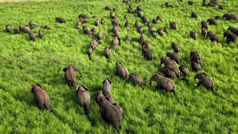
September 18, 2019 |
David Gadsden |Conservation African Parks Uses Tracking to Combat Poaching and Protect Animals
-
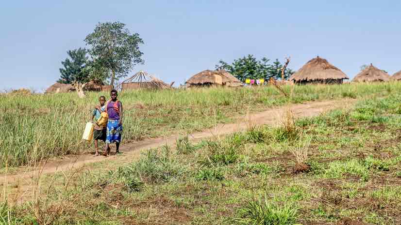
September 10, 2019 |
Jen Van Deusen |Resilience Tracking Tree Planting in Burkina Faso to Measure and Improve Survival Rate
-
September 4, 2019 |
David Gadsden |Conservation Dr. Jane Goodall: Patient Observation Lets You See What Others Can’t
-
August 28, 2019 |
John Beck |Public Safety Philadelphia Police Collaborate to Address Crime that Arrests Alone Won’t Solve
-
August 13, 2019 |
Mike Cox |Public Safety Augmented Reality Aids Nighttime Swiftwater Rescue
-
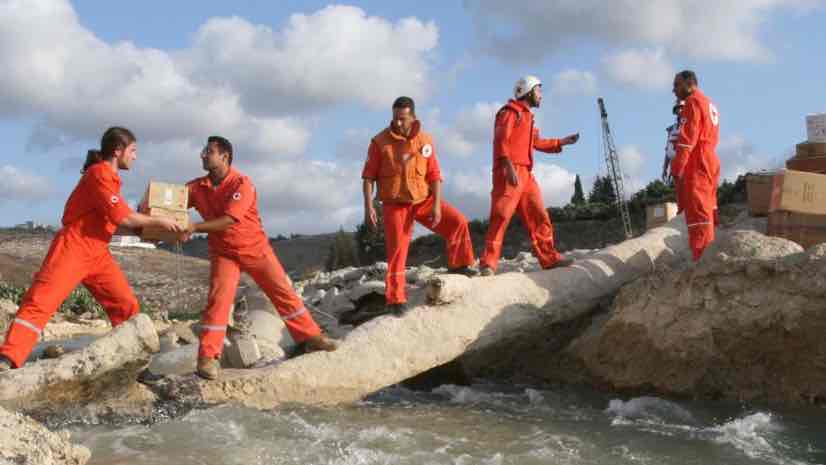
August 6, 2019 |
Ryan Lanclos |GIS for Good Lebanese Red Cross Use Location Intelligence to Deliver Aid and Build Trust
-
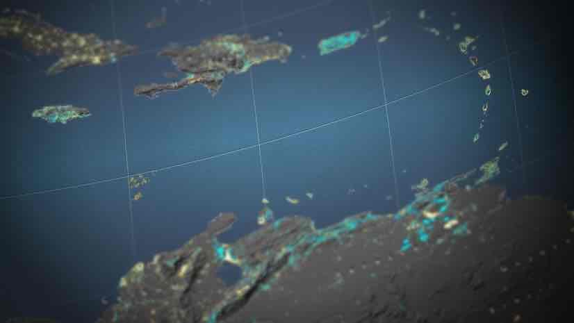
August 2, 2019 |
John Nelson |Mapping Viewpoint: What Seeing the Earth at Night Reveals About Humanity
-
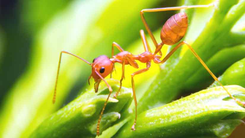
July 26, 2019 |
David Gadsden |Conservation E.O. Wilson: Micro Lens Reveals Macro Understanding
-
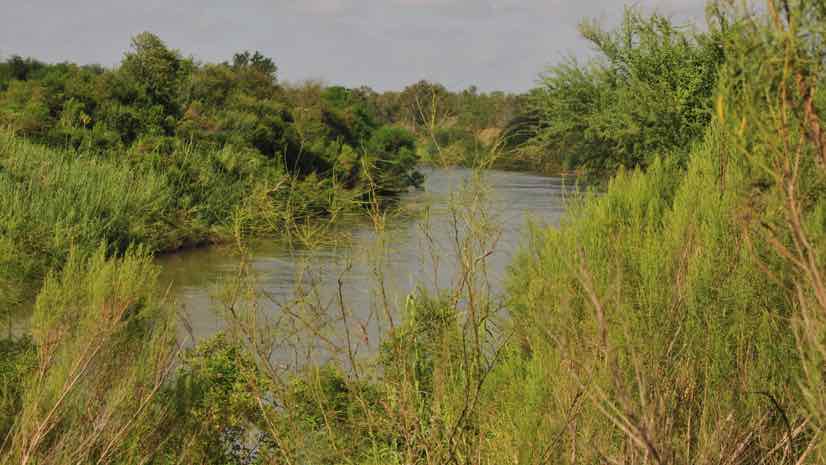
July 18, 2019 |
Ryan Lanclos |GIS for Good US Border Patrol Finds New Ways to Rescue Stranded Migrants