July 30, 2020 |
Christopher Thomas | GIS for Good
All Articles
-
-
July 28, 2020 | Multiple Authors |
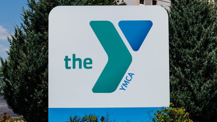
GIS for Good YMCA Uses Location Intelligence to Match Programs to Member Needs
-
July 23, 2020 |
Brett Dixon |Infrastructure Tapping into Geothermal, Indonesia Reduces Reliance on Fossil Fuels
-
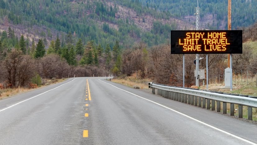
July 21, 2020 |
Terry Bills |Infrastructure COVID-19: Mapping Chicago Region’s Transit Recovery
-
July 16, 2020 |
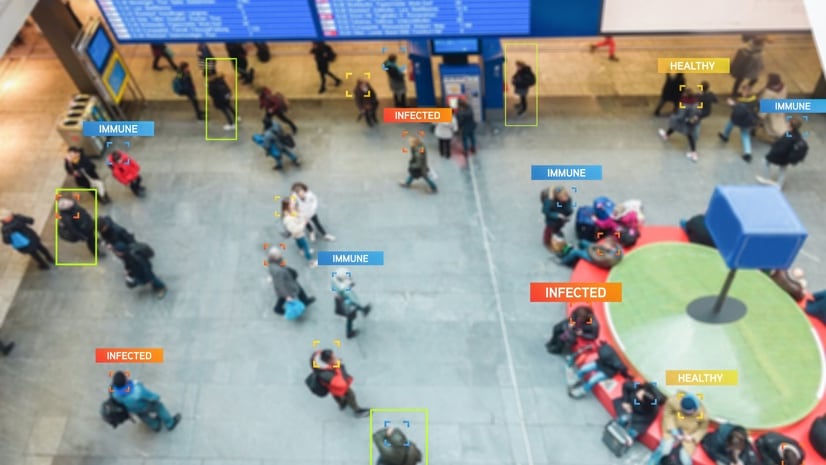
Greg Milner |GIS for Good COVID-19: Inside Look at the Johns Hopkins Dashboard, Keeping Tabs on the Virus
-
July 14, 2020 |
Brett Dixon |Conservation What's an American Researcher Doing Tracking Cats in New Zealand?
-
July 9, 2020 |
Este Geraghty, MD, MS, MPH, GISP |GIS for Good COVID-19: CDC Supports State Dashboards to Better Monitor Cases and Capacity
-
July 7, 2020 |
Mike Cox |GIS for Good COVID-19: Firefighters Turn to Apps, Maps and Dashboards to Communicate and Act
-
July 2, 2020 |
Ryan Perkl |Public Safety Boulder, Colorado, Prepares for Climate Change with City Simulator
-
June 30, 2020 |
Mark Cygan |Mapping The Next Chapter in National Mapping: Great Britain Moves to Mapping Changes
-
June 25, 2020 |
Este Geraghty, MD, MS, MPH, GISP |GIS for Good COVID-19: Introducing Community Contact Tracing
-
June 23, 2020 |
Matt Ball |Mapping An Awakening: Location Intelligence Receives the Spotlight It Deserves
-
June 23, 2020 |
Ben Conklin |GIS for Good COVID-19: Army Corps Uses Maps and Models to Create Surge Hospital Capacity
-
June 19, 2020 |
Clinton Johnson |GIS for Good Applying Location Intelligence to Address Racial Inequity
-
June 17, 2020 |
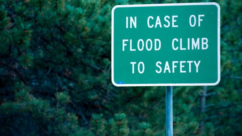
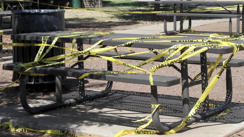
Mike Bialousz |Conservation COVID-19: States Apply Location Intelligence to Manage Parks
-
June 16, 2020 |
Jeremiah Lindemann |GIS for Good COVID-19: Tempe Tests Wastewater to Provide Early Warnings
-
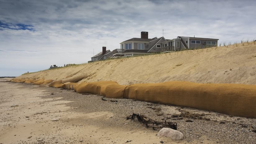
June 9, 2020 |
Ryan Perkl |Resilience How Cape Cod Is Saving Its Shoreline from the Effects of Climate Change
-
June 4, 2020 |
Maryam Rabiee |GIS for Good COVID-19: A Look at Global Geospatial Challenges and Achievements
-
June 3, 2020 |
Christopher Thomas |GIS for Good California’s Capital City Launches New Smart 311 System Amid COVID-19 Pandemic
-
June 2, 2020 |
Este Geraghty, MD, MS, MPH, GISP |GIS for Good COVID-19: Five Spatial Approaches to Safely Reopen
-
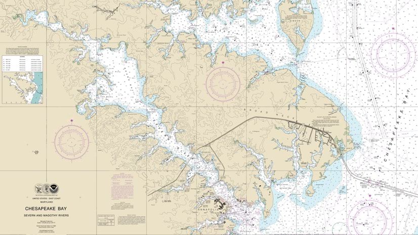
May 28, 2020 |
Steve Snow |Mapping NOAA: The Digitalization of Navigational Charts for Safety, Efficiency
-
May 26, 2020 |
Christopher Thomas |GIS for Good COVID-19: Washington Helps Workers Find Childcare; Seattle Supports Businesses
-
May 20, 2020 |
Sarah Alban |Mapping COVID-19: Idled Sarasota Employees Contribute with Fieldwork
-
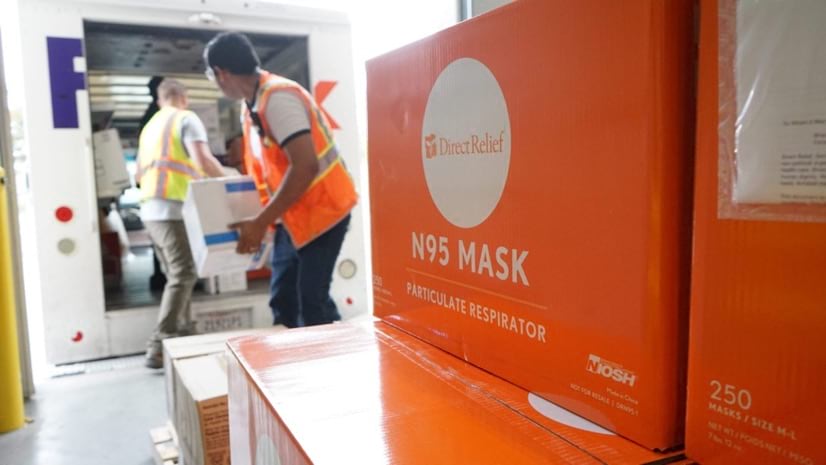
May 14, 2020 |
Ryan Lanclos |Public Safety COVID-19: How Direct Relief Solves Medical Supply Chain Problems