
August 27, 2024

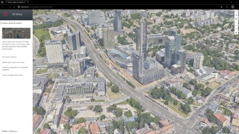
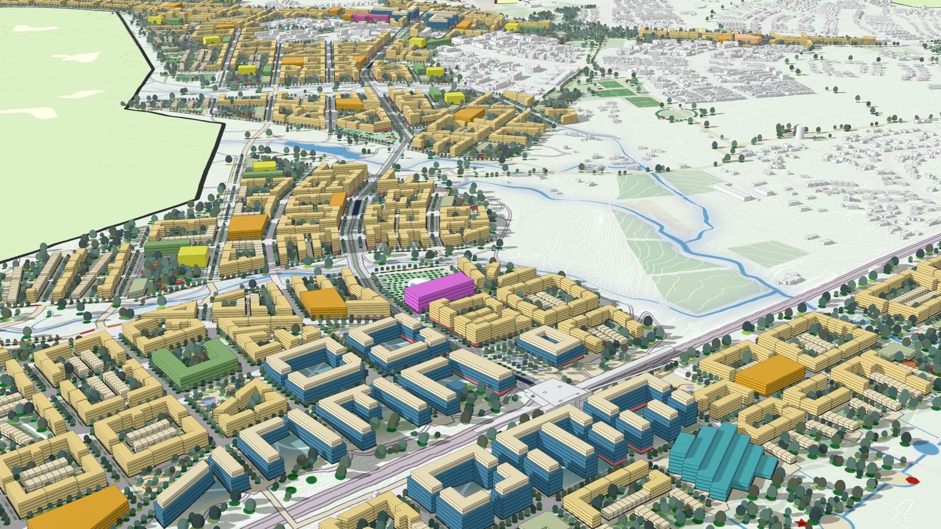
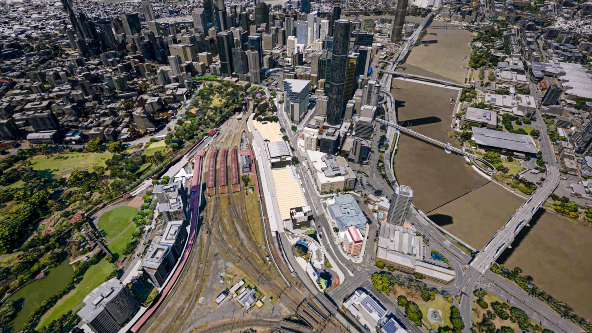
Digital twins are an increasingly common tool for city governments to understand and manage city assets. The twins act as 3D aids for city planners, providing responsive models that show the likely effects of proposed changes.
Vilnius, the capital of Lithuania, has taken the model a step further. In addition to its utility as a planning tool, Vilnius’s digital twin also provides a way to strengthen and streamline city services.
Snow removal, a perennial necessity in one of Europe’s more blizzard-prone cities, is a key example. In January, the first major blizzard of the year battered Vilnius, but the city had most streets cleared within four hours. They did it using a combination of artificial intelligence (AI), location technology, and aerial imagery.
Moments after the storm ended, drone aircraft flew overhead, gathering images of the streets. An AI model trained to recognize snowy streets did a quick analysis. The result was displayed on a map of the city that formed part of a digital twin, built and maintained using a geographic information system (GIS).
Stasys Savilionis, head of the data management group at the Vilnius Data Center, the office that manages the digital twin, displayed a post-blizzard map. Streets were color-coded, based on the AI model’s measurements.
“If a street is red, it hasn’t been cleaned,” Savilionis explained. “If it’s yellow, that means it still needs to be inspected by a person. And if it’s green, that means the AI identifies that it’s been completely cleaned.”
Vilnius complements its twin with drones to enable real-time analysis. The city’s fleet of four drones gathers imagery and other data that can be projected onto maps and analyzed directly or via AI models.
Savilionis pulled up another map, this one with municipal trash receptacles highlighted. As with snowy streets, the AI had been trained to recognize full trash bins. Those in current need of emptying were highlighted in red.
Maps inside the digital twin serve more than one purpose. In addition to helping the city manage municipal functions, they provide a record that lets officials compare services over time. The public-facing versions also provide transparency for Vilnius residents.

The relative ease with which drone footage becomes operational intelligence belies the massive effort used to train the AI model. Thousands of photos are used to teach the algorithm what to look for, a process known as deep learning. The deep learning models then ingest the latest drone imagery to return answers.
Once trained, the AI can spot priorities for service. These areas appear on dashboards for city leadership and guide the work of relevant city departments. For example, the city can assess road conditions by using the AI to highlight cracks, potholes, and other damage that may require attention.
The model can also recognize where traffic is backed up, where cars are parked illegally, and where large snow loads have accumulated on roofs. “That’s especially useful for buildings that might be hard to access by foot,” Savilionis said.
Savilionis’s team tunes the AI model to consider different parameters in its priority ranking. Recently, they asked it to rank streets based on their importance for pedestrian traffic. Before that, they tuned it to account for routes of cyclists and commuters. The AI model notes, for example, how close a street is to schools and hospitals, and other places where many people need to travel.
“A street with really bad conditions might rank low on the metric because of its distance from healthcare or educational institutions,” Savilionis said.
He noted one street that had a high score for urgency due to its proximity to a playground. This information helps expedite repairs and can be shared with the public, increasing transparency and accountability.
In addition to real-time analysis, Vilnius’s digital twin helps officials understand how city operations might evolve over time.
With anonymized cell phone location data from mobile operators, the Vilnius municipal company responsible for public transit can map and visualize where people congregate and how they move at different times. This insight helps assess current transit needs and predict how mobility demands will change in the future.
“We get this data every day,” Savilionis said, clicking between two versions of the same map. “You can see how a street in August looks very different from one in September when school is in session.”
Like many cities, Vilnius is trying to move away from car dependence. Having a comprehensive view of all relevant data helps planners improve pedestrian routes and bicycle lanes, and take measures to improve mass transit.
Savilionis displayed a map of Vilnius centered on a particular bus route. The map is composed of colored tiles, each representing the number of people in that location who depend on the route for commuting. The breakdown gives city leaders a clearer idea of whether more buses should be added to existing routes—or if entirely new routes are required.
“We are monitoring services provided to citizens,” Savilionis said. “Our actual goal is to identify problems before our citizens do.”
Learn more about how local governments apply GIS for data-driven decision making.


