September 19, 2024
Video: Esri and National Geographic Champion the Creative Power of Maps
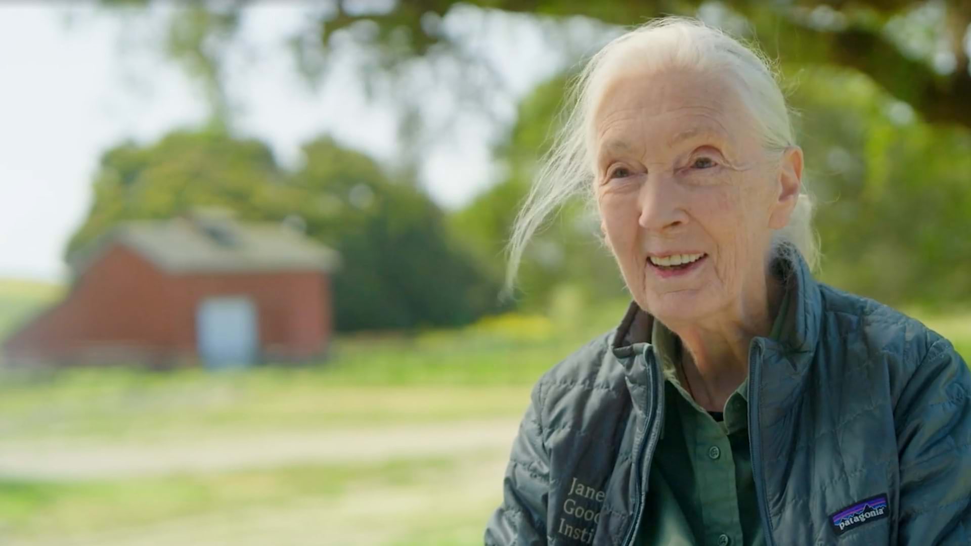
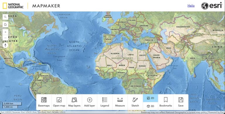
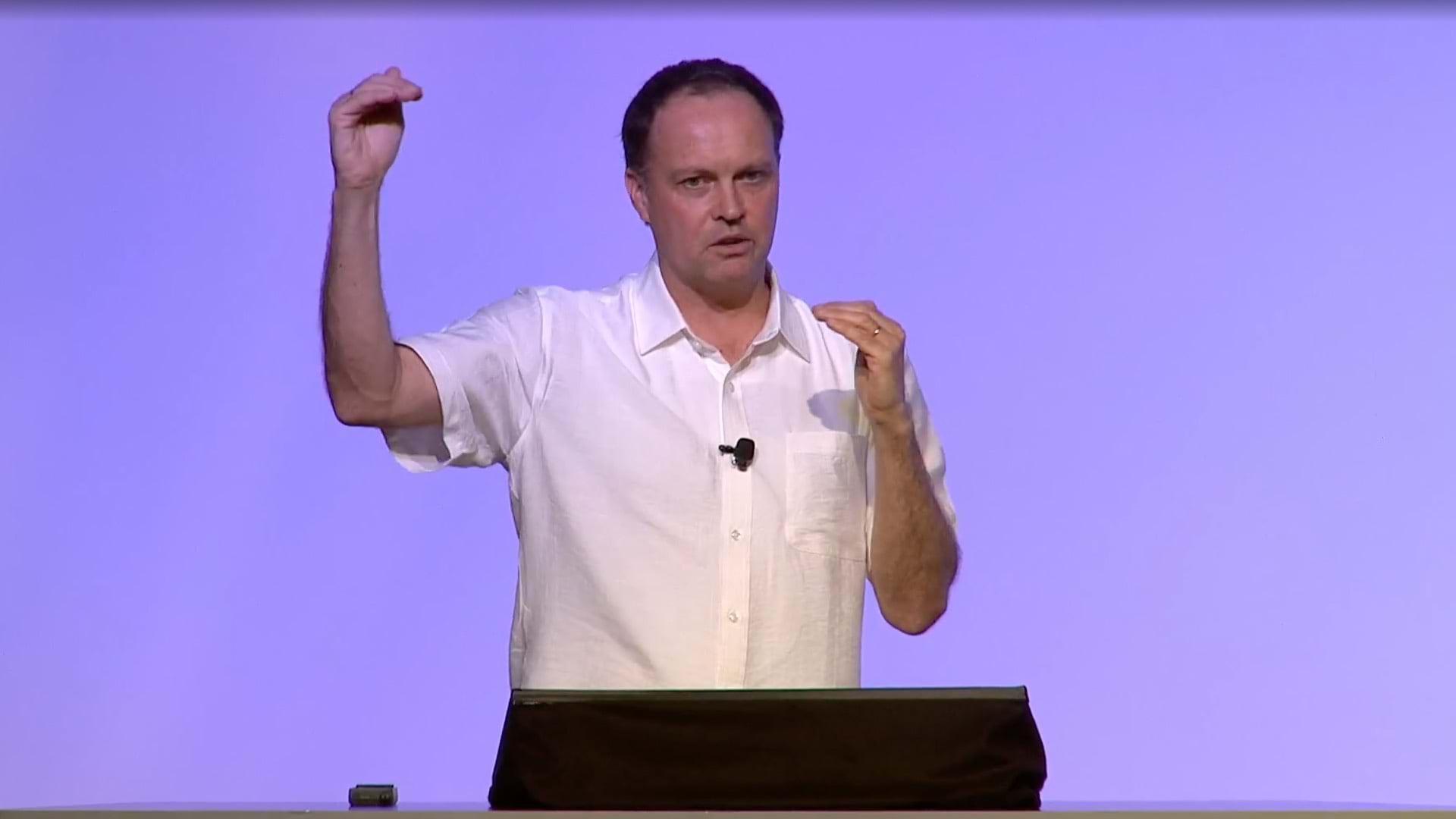
Since the 1990s, Esri and the National Geographic Society have enhanced map-based education by integrating geographic information system (GIS) technology into classrooms. The latest initiative, National Geographic’s MapMaker, is an intuitive online tool that connects users and classrooms with geographic data, allowing them to navigate, analyze, and visualize complex datasets. In a recent discussion, Esri president Jack Dangermond and National Geographic CEO Jill Tiefenthaler highlighted MapMaker for its ability to solve problems and tell compelling stories, making GIS accessible and engaging for students and educators alike.

Visit MapMaker—a new way to teach and learn with maps.
Learn more about how GIS teaches spatial literacy.
Related articles
-
 July 25, 2024 |
Katie Olson |Conservation -
 April 18, 2024 |
Katie Olson |Conservation Video: Mapping a Path to Protecting 30% of the Planet by 2030
-
 April 4, 2024 |
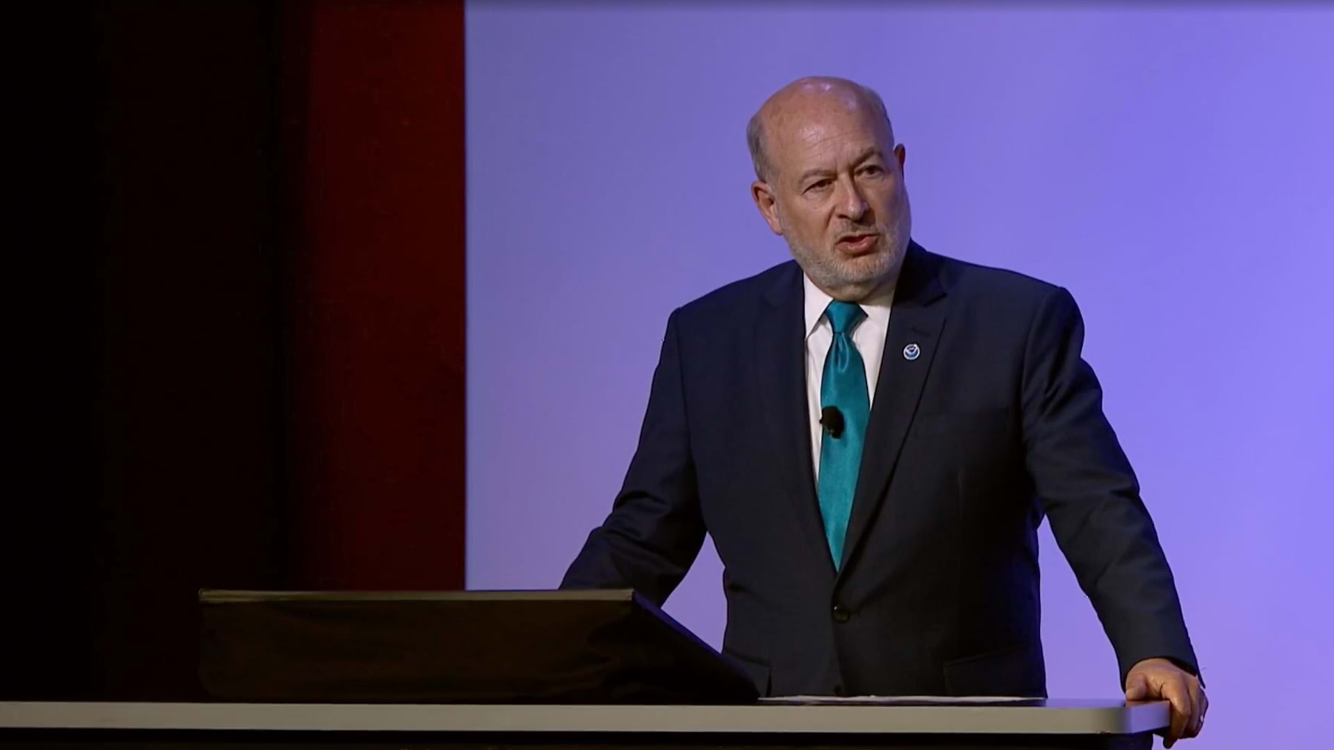
Katie Olson |Resilience Video: From Data to Decisions: How NOAA Uses GIS to Forecast the Climate Future
