December 12, 2024
Video: A Data-Driven Approach to Safeguarding Southern California’s Water Supply
In Southern California, the San Bernardino Valley Municipal Water District supplies water to 13 local utilities across a drought-prone, 350,000 square mile service area—larger than Singapore. Using GIS, the district creates detailed maps and analyzes data to tackle infrastructure and habitat challenges. By including maps and analysis in project proposals to regulatory agencies, the district easily secures permits and showcases their expertise in local ecosystems.
Discover how GIS enables an intelligent water system.
Related articles
-
 June 20, 2024 |
Katie Olson |Infrastructure -
 October 31, 2024 |
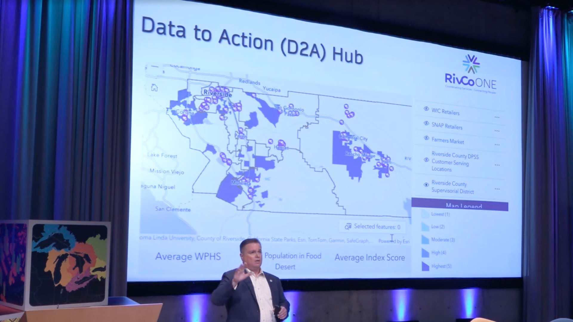
Katie Olson |GIS for Good Video: GIS Fuels Riverside County’s Data-to-Action Approach to Social Services
-
 October 17, 2024 |
Katie Olson |Infrastructure Video: Maps Help Manage a Modern Public Utility in Seattle
