December 23, 2024

The most-read stories on the Esri Blog for 2024 span industries and geographies. All show an impactful use of geospatial technology, often at the center of conversations about what an organization or a municipality would like to become. These stories all relate the unique role of GIS at the intersection of data analysis, mapping, and collaboration.
Click on the image or title to visit each post.

Minnesota Governor Tim Walz tapped the state’s pioneering geospatial data gathering efforts and GIS skills to create maps that inform data-driven policies. This post went live shortly after Walz spoke at the Esri User Conference about how maps drive policies to remove pain points for people.
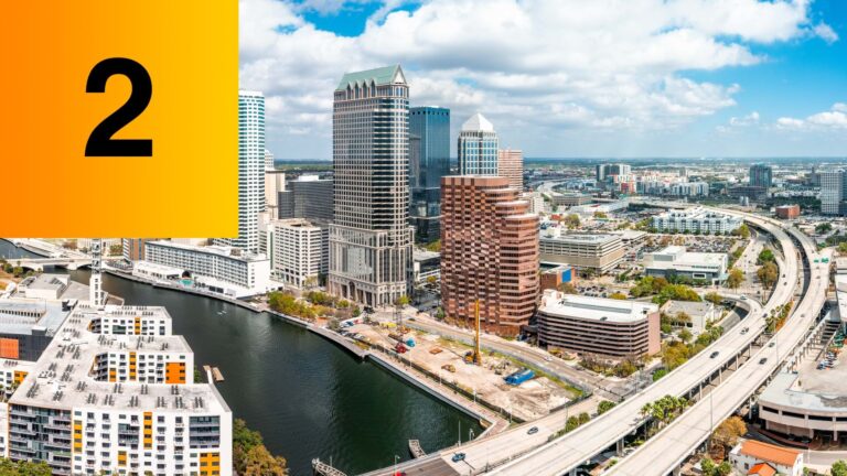
Recognizing Tampa’s ranking as the fourth most dangerous US metropolitan area for pedestrians in 2022, city leaders set an ambitious Vision Zero goal to eliminate traffic fatalities. GIS was used to map hazardous traffic corridors, assess conditions, and prioritize road improvements that focus on safety and equity to address the city’s most vulnerable people.

Jen Tinsman, a forensic scientist at the US Fish and Wildlife Service’s forensics laboratory and a researcher at the UCLA Center for Tropical Research created a genetic, source-to-destination map of pangolin trafficking. This new genomic tracing approach, using samples from living white-bellied pangolins and scales confiscated at ports and illicit markets, could help in the global crackdown on poaching and the $20 billion trade in illegal wildlife.
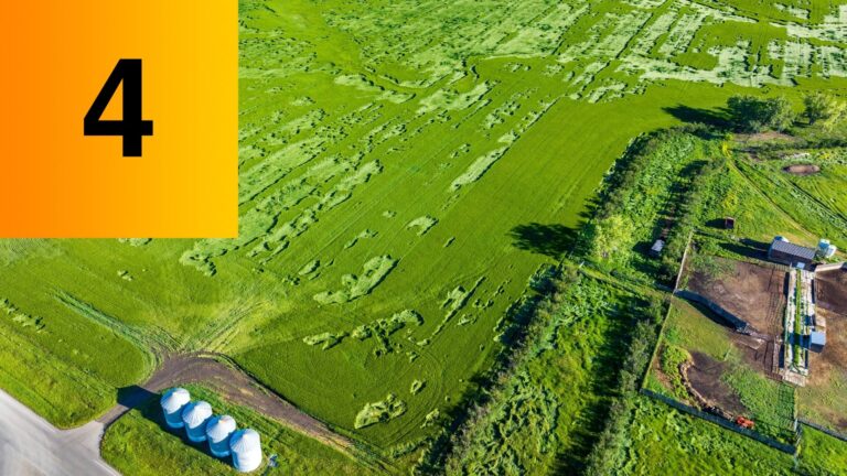
Investigators with the US Department of Agriculture’s Risk Management Agency use high-resolution aerial imagery to capture field conditions, machine learning algorithms to automate the detection of patterns, and GIS to ground truth claims. This integration of advanced technologies and data science techniques supports the investigative process that generates positive results—amounting to $1.75 billion in cost avoidance over the past 20 years.

While larger coastal cities such as Boston have been proactive in their climate action, many Massachusetts farming communities can lack the staff or resources to keep pace. Communities across Massachusetts can use the ResilientMass climate data clearinghouse built by the Executive Office of Energy and Environmental Affairs (EEA) to inform and guide resilience project planning and implementation.
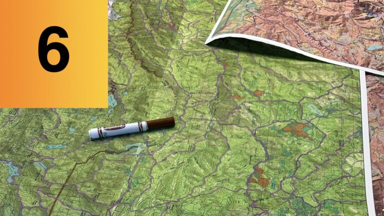
Chris Dunn, assistant professor at Oregon State University’s College of Forestry, worked with the US Forest Service’s Wildfire Risk Management Science Team to develop a map-based approach to wildfire planning and suppression that has been growing in popularity. The map-centric framework to prioritize the places where firefighters can best quell more intense wildfires is known as PODs (Potential Operational Delineations). PODs are areas on a map whose border lines are human-made or natural fire-stopping boundaries such as roads, ridges, and water.

Pedro Leal da Costa, head of viticulture at Symington Family Estates, leads a data-driven approach to adjust inputs and respond to weather changes to produce the best grapes possible. Symington’s winemakers record the changing conditions and the corresponding health of the grapes and soil by using an enterprise GIS. It allows them to track the variables for each of the family’s 27 estates to produce the best port wines in the world in the Douro River Valley in Portugal.

While Apple in 2024 touted its long-awaited extended reality (XR) headset Vision Pro as the dawn of spatial computing, this opinion piece argues that GIS technology has already pioneered spatial computing through decades of mapping and visualizing complex data.

Kongjiang Yu’s sponge city concept integrates stormwater into urban landscapes, which improves both ecology and aesthetics. Yu’s method of using the landscape to capture, filter, and store rainfall has been adopted at 640 sites in 250 municipalities across China. Sponge cities embrace rather than resist water, resulting in flood-resistant riverbanks, more urban beauty, and increased quality of life.
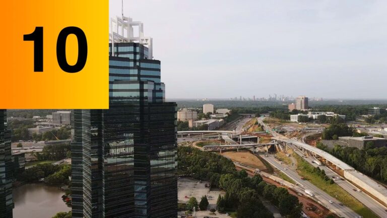
Sandy Springs, a suburb that once defined itself in opposition to Atlanta, seeks a fresh identity as new residents pour in. The city’s leadership wants to balance growth and the needs of new residents with existing communities. A geographic approach, utilizing smart maps generated with GIS, is instrumental in helping city planners realize inclusive growth.

