
September 8, 2020

Large earthquakes struck California’s Mojave Desert in July 2019 causing a major disturbance along the Garlock Fault, which intersects the infamous San Andreas Fault 50 miles northeast of Los Angeles. This movement tripled the chances of a major San Andreas tremblor—the ‘big one’ many Southern California residents fear—by summer 2021, according to a recent study.
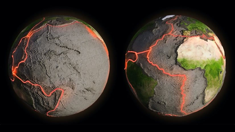
Earthquakes are dramatic reminders of a fact of life on this planet we often overlook. The Earth’s tectonic plates are in constant motion, carrying the continents—and all of us—along for the ride.
The boundaries of these plates form faults. The San Andreas Fault is where the Pacific Plate collides with the North American Plate. When the pressure becomes too extreme—an average of once every 100 years—it triggers a large-scale San Andreas earthquake.
When an earthquake hits, the physical landscape can undergo massive changes in a matter of minutes. Stationary objects—such as trees, roads, buildings, and lampposts—that just a moment earlier occupied one unique spot in the universe now occupy another.
In the immediate aftermath of the 2011 Tohoku-oki megaquake in Japan, land near the epicenter ended up 20 feet away from its previous position. Small positional changes occurred as far away as Europe and Russia.
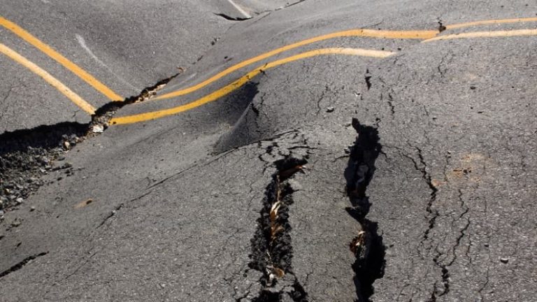
For most people who experience earthquakes, this land displacement is low on the list of concerns. For professional land surveyors, it means that, in theory, every measurement they’ve previously recorded about the area is wrong.
However, an earthquake like Tōhoku does not require a complete re-surveying of Japan. Instead, surveyors can apply a deformation model, based on the earthquake’s parameters, and update their data in a geographic information system (GIS).
Catastrophic changes aren’t the only movements that vex surveyors—they must also account for small “crustal” changes from shifting tectonic plates. In areas of high seismic activity, such as those impacted by the San Andreas fault, land can shift several centimeters each year.
For many surveying projects, this discrepancy is insignificant. For those that demand high accuracy, it is a problem. Surveyors can, if required, provide millimeter-level accuracy. But that skill requires a reckoning that geodesy, the science underlying surveying, has grappled with for millennia.
Geodesists study the shape of the planet, its rotation, and gravity field. The science extends back to ancient Greece, when Eratosthenes, by observing the sun and measuring the distance between two towns, computed the Earth’s circumference. (His conclusion of 25,000 miles was off by just 100 miles.)
For the next 2000 years, geodesists constructed and refined various ellipsoids—mathematical expressions of the planet’s dimensions. As modern surveying developed, surveyors adopted the ellipsoid that provided the most accurate result in their respective parts of the world.
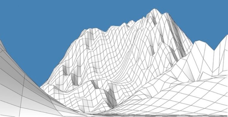
Any ellipsoid, by itself, has limited utility. To produce latitude and longitude, surveyors required a coordinate reference system (CRS), or datum—a virtual grid wrapped around that ellipsoid.
Over the centuries, geodesists and surveyors began to tie the world together using datums of increasingly large scope. Each datum was linked to a reference point, a spot on the planet against which other points in the datum were defined. For much of the 20th Century, the reference point for North America was located on a ranch in Kansas.
Development of the Global Positioning System (GPS) sparked a datum revolution. Until then, all datums were land-based, each tethered to its own terrestrial reference point, forming an international patchwork of datums that never quite aligned, like a jigsaw puzzle with imperfect pieces.
GPS is space-based, referenced to the Earth as a whole. The National Geospatial-Intelligence Agency, in Virginia, maintains the GPS ellipsoid, World Geodetic System 1984 (WGS84). GPS receivers calculate their location by measuring the transmission times of signals sent from the GPS satellite constellation, using a CRS that is truly international. With the right equipment, GPS receivers can achieve millimeter accuracy.
With the onset of GPS, scientists could, for the first time, observe and measure tectonic plate movement. In 2003, a consortium of research institutions established the Plate Boundary Observatory, a network of GPS receivers arrayed across the western United States, to study Earth deformation caused by the motion of the North American and Pacific plates.
Naturally, surveyors also benefitted from the precision of GPS. But for them, plate movement presented a problem. The old datums were land-based, and so are humans. When the plates move, people move with them, so from that perspective, a land-based datum remains stable and static.
Because the GPS datum is space-based, it is dynamic. From an Earth-bound moving-plate perspective, coordinate locations represent change over time. For any survey-dependent project that also spans time, this dynamism creates an issue.
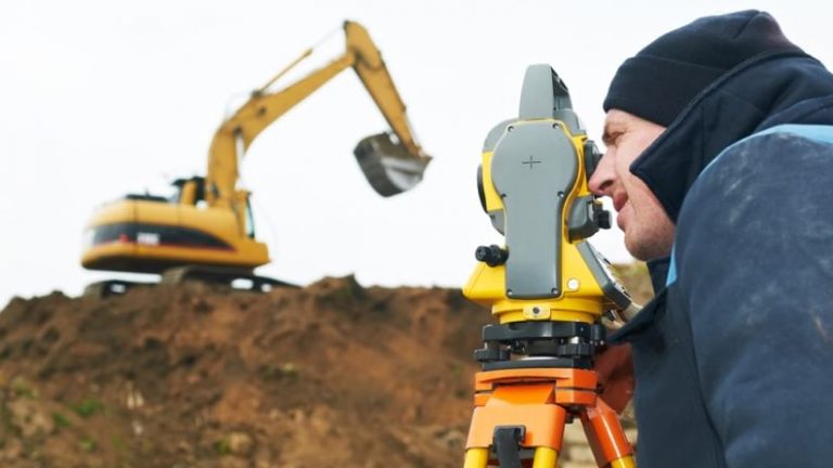
Imagine a bridge project. With the blueprint as a guide, surveyors record coordinates located on both riverbanks. Construction begins on the left bank, moving out into the water, but funding runs out before any work begins on the right bank.
Five years later, construction begins on the right bank, based on the previously surveyed coordinates. As construction crews build further out over the river, they discover the two sides do not properly connect in the middle. The problem: plate motion over the five-year period compromised the accuracy of the GPS-guided coordinates.
To avoid these situations, the GPS datum is divided into “epochs,” units of time that correct for plate movement. Surveyors often “go back in time.” If they are tasked with, say, marking out coordinates for new sewer grates, they adjust current GPS-based measurements to reflect the epoch when the city first used GPS to orient its sewer system.
Although surveyors can now update data with deformation models, they perform these calculations separately, and then reimport data into GIS. The next step is to integrate these calculations in the GIS environment.
Geodesists and surveyors are collaborating on standards to make integration possible. This will allow surveyors to account for sudden changes caused by earthquakes and some human processes, such as large mining projects—and for shifts attributed to the steady march of tectonic plates.
Kevin M. Kelly, a geodesist leading the standardization efforts, has noted the enthusiasm surveyors have shown for the project. The initial organizing effort attracted over 200 people from around the world.
“To have this many people on our first call, for something as esoteric as a deformation model for GIS and surveying, is unprecedented,” he said recently. “In the end, they’ll have a standard that tells the community how to make use of a model for their area. And if an earthquake happens, they’ll just encode it, ingest it, and apply it.”

