
July 18, 2024


“Do you like to breathe?” This is what distinguished oceanographer and my longtime mentor Sylvia Earle (“Her Deepness”) sometimes asks skeptics who wonder why we study the deep. After all, they say, there’s nothing down there—just some sand and rocks, right? Let’s go to Mars instead!
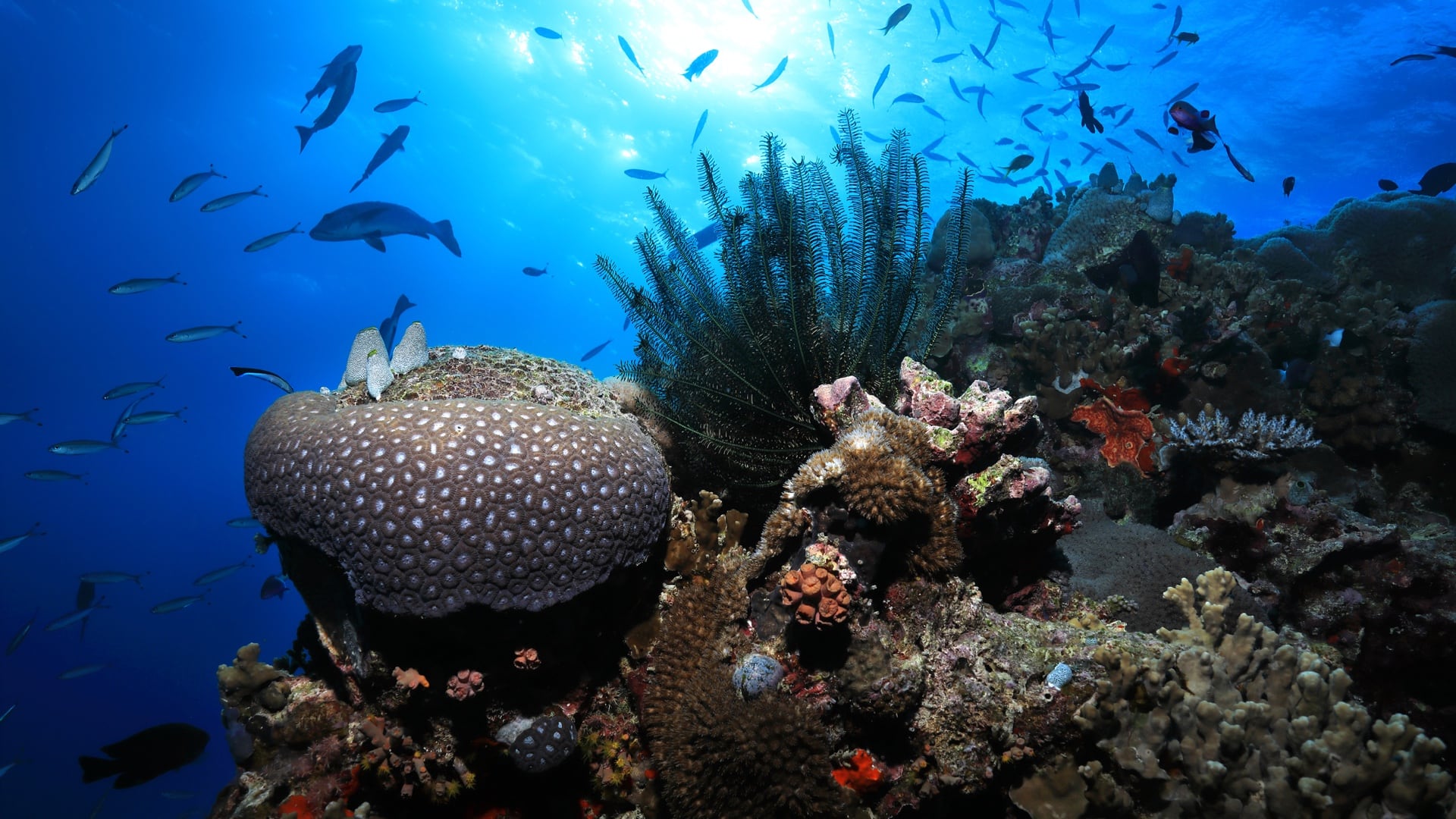
No, Earle patiently explains: If the ocean and its organisms weren’t in good health, we humans wouldn’t be either. For starters, about 50 percent of the oxygen we breathe comes from organisms in the ocean. Marine photosynthesizers, such as seaweed and phytoplankton, use carbon dioxide, water, and energy from the sun to make food for themselves. In the process, they release oxygen into the atmosphere. If they weren’t doing this, we wouldn’t be breathing.
This cycle takes time. Most of the oxygen produced by the ocean is directly consumed by the microbes and creatures that live there, or consumed when organic matter falls to the seafloor. So about half the oxygen we breathe now comes from the slow accumulation of oxygen in the atmosphere over millions of years.
As well as providing us and other species with essential oxygen, the ocean plays a critical role in regulating the planet’s climate. It also buffers our excess carbon (so far, anyway), absorbs surplus heat (so far), produces a wealth of resources, feeds millions of people, and keeps the global economy afloat. At the same time, it can unleash destructive forces—as we’ve seen, most earthquakes, volcanoes, and tsunamis originate in the deep.
Ocean waters cover 70 percent of our planet, but if we don’t fully understand how the ocean works, we can’t protect it (or ourselves). And if we can’t protect it, all species on Earth, including our own, are at risk. Sylvia Earle has sounded the alarm: “We need to act now,” she warns, “because if there’s no blue, there’s no green, which means there will eventually be no humans. No kidding!”
That’s why scientists like Cassie Bongiovanni, Kathy Sullivan, Nicole Yamase, and Sylvia Earle have dedicated their lives to exploring the ocean, studying its biology and geology, and mapping its depths. It’s what motivates me.
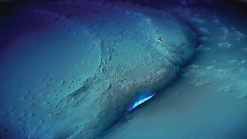
Instead of the flat blue surface of earlier maps, or imaginary monsters of the deep, today’s maps show us the hidden face of our planet: a topography scarred and riven by its formation; a dramatic terrain of volcanoes, trenches, and fracture zones; a hotbed of geologic activity. This geologic activity is the most exciting, the most perplexing, and the most important to study.
For starters, what happens in the ocean doesn’t stay in the ocean. We now know that the planet’s surface is made up of tectonic plates, major and minor, that ride on top of Earth’s mantle—essentially a layer of hot roiling rock.
The plates fit together like a jigsaw puzzle, but, because the mantle is moving, they don’t stay put: They’re constantly shifting, sliding, and grinding into one another. The seams between them, where they collide or push apart, are known as faults. Just like on land, where a sudden slip along a fault can cause an earthquake, undersea faults are hot spots of geologic activity, generating earthquakes and volcanic eruptions on the Earth above. But high-resolution seabed maps can help scientists predict catastrophic events like these before they happen.
Also, tsunamis come about as a result of a movement on the floor of the ocean that’s expressed in a fault. When you have that disruption on the ocean floor, the water above the ocean floor gets severely disrupted as well, and generates these large, long-wavelength waves that are essentially the tsunamis. That’s why we need to monitor those fault zones, but even more importantly, we need to understand the shape of the seafloor in coastal areas where tsunamis occur. Though a tsunami is a terrifying mass of water, how it behaves and how fast it travels is influenced by what’s below: the shape of the coastline and topography of the ocean floor.
According to NOAA, tsunamis “have killed hundreds of thousands of people worldwide and caused billions of dollars in damage. They are equal opportunity destroyers: no coastal area in the world is entirely safe from them.” But if we have better maps and, hence, better models, we can more accurately predict the impact of tsunamis and—ideally—save lives through more effective warnings (when, how, and where to evacuate).
Another very, very important reason to map the ocean floor is that we’re looking more to the ocean now for energy—wave energy, for instance, or wind energy. And we are siting wind turbines on the ocean floor.
So we need to know what the ocean floor looks like—which areas are flat, for instance, and what is the composition of those areas. Is it sandy? Is it silty? Is it rocky? What are the best places for us to anchor that type of alternative energy infrastructure?
Siting wind turbines involves a host of other considerations, notes Dr. Richard Spinrad, head of the National Oceanic and Atmospheric Administration. Among those is ensuring that the turbines won’t harm endangered marine species, such as the North Atlantic right whale. With the right geospatial data, Spinrad says, we can begin to answer crucial questions, such as “How do we ensure that while building out this renewable energy source we are also preserving the right whale? How are we going to know that the wind will be there in 30 years?” Accurate maps and spatial models can guide scientists to make the best decisions for our energy needs as well as for the ocean ecosystem.
Also, as offshore renewable energy becomes increasingly important in the race to replace fossil fuels, new questions arise about access and rights to areas of the ocean. For both economic activity and conservation efforts to succeed, we need well-defined ocean territories. Who will reap the benefits from that part of the ocean? Who will take care of it? Who will protect it from overexploitation?
The first step toward responsibly managing any area of the ocean is defining it by mapping it.
Visit MappingtheDeep.com for more details about the book and my life. Learn how GIS technology is used to explore, map, visualize, analyze, and protect the oceans.


