Q&A: Lessons Learned During a Decade of Emergency Management in Washington, DC
By Carrie Speranza
Jerica Shackelford, former chief of staff for the District of Columbia Homeland Security and Emergency Management Agency (HSEMA), learned a lot during her 14 years of service.
When she joined HSEMA, Shackelford brought the perspective of a communications major and set out to turn the agency into “the ESPN of all hazards.” Growing up, she was amazed by sports analysts who had command of minute details about the past performance of every team in every situation. Emergency managers, she thought, required a similar command of knowledge—to know what works best in certain conditions and to make plans based on past performance.
At the Esri Safety and Security Summit during the 2024 Esri User Conference, Shackelford shared some of her experiences using geographic information system (GIS) technology to respond and coordinate actions for events, hazards, and rapidly-changing conditions.
This interview has been edited and condensed.
Q: How does a data-driven approach impact emergency management operations?
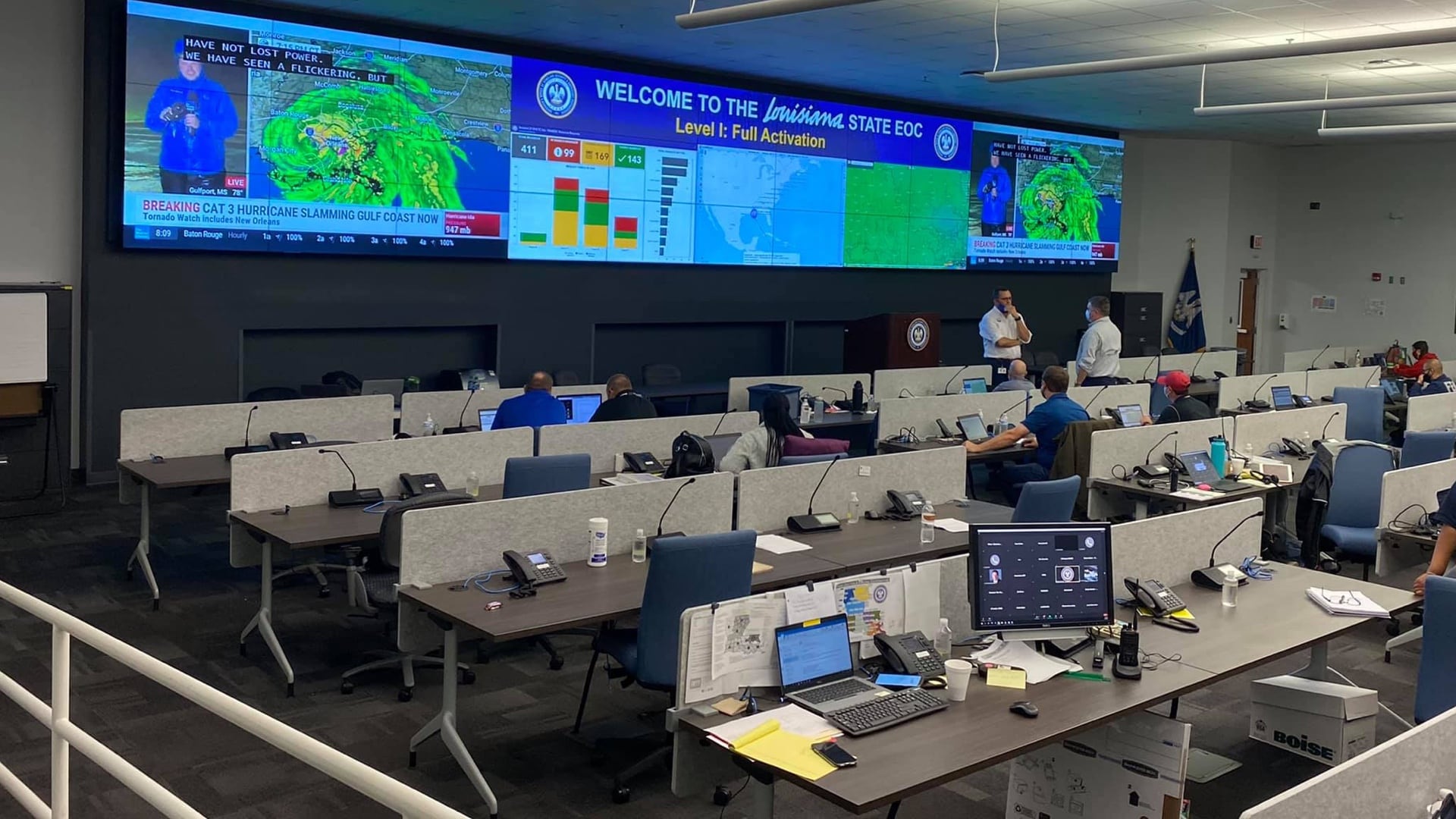
A: Governments aren’t the best at documenting everything they do. With an enterprise GIS platform, we can do a better job of it. Then we have the analytics to tell the story, to drive policy decisions, or focus resourcing where its most needed.
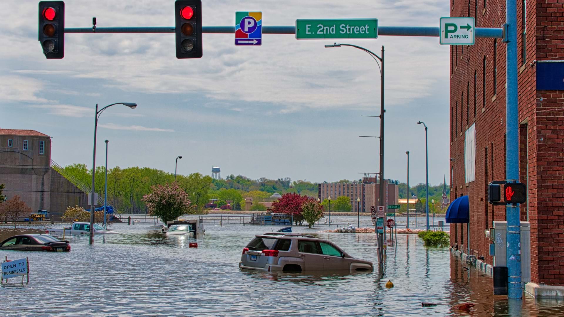
As emergency managers, it’s our job to respond and plan to respond 24/7. We’re getting better at having an archive that we can reference to guide us. Sometimes we have the institutional memory—people who have been through something similar. But digging into data from the archives can tell us specifics, such as what happened the last time it rained 4 inches in 30 minutes on a Tuesday during commuting hours.
Having that historical perspective helps us show our value at a time when emergency managers struggle to find their place. It’s a service that sets us apart from police, fire, or health departments. It gives us the global lens, the big picture, to guide decisions as a city for everyone who may be impacted.
When it comes to emergency management, we need to continually be learning from what we've experienced, and then evolving that to answer, ‘How are we going to respond this time? Or what lessons did we learn from before? Are the conditions the same as they were? If they're not, how did they change and what should we do with that?’
Jerica Shackelford
former chief of staff, District of Columbia Homeland Security and Emergency Management Agency
Q: How does artificial intelligence (AI) help with your work?
A: Leaders benefit when AI presents all the facts in the way that fits their leadership style, or timing, or to meet the needs of different stakeholders. We’re asking AI questions to pull historical data from the database. It’s also helpful to distill a great deal of information in a short amount of time.
We always need that human factor. But I would love AI to remind us of all the dimensions we need to be thinking about. It can elevate our decision-making.
Q: How do you counteract misinformation and disinformation?
A: The more we can share the factors that go into decisions, the better. That’s why access to data and enterprise systems is so important. It gives government the opportunity to say, ‘We didn’t make this decision in a vacuum. We had data, and this is what we saw.’ We can show where we concentrated our efforts because the data showed us what to focus on.
Geography is a great way to communicate because everyone understands location. A lot of emergency management involves serving people in a place, and we can show them what’s happening on a map.
Q: What’s a key takeaway from your time at HSEMA in DC?
A: In an emergency, we have to look out for our most vulnerable people. The impact on them will be much deeper than those who can just swipe a credit card and self-evacuate.
A lot of what was driving our enterprise approach at HSEMA was the need to know who and where the most vulnerable people are, faster. For instance, we had school safety plans with the names of any students that would need special assistance. We knew which room each person was in during the day, and the name of the aide assigned to them.
The resilience team is developing a dashboard to anticipate impacts to the supply chain. We know how many residents use SNAP benefits at each grocery store. That helps us mobilize where in the communities we need to make sure that food and water are distributed. Being prepared requires a reliance on location-based data.
Q: When you reflect on the GIS tools you helped create at HSEMA, how far did you come from realizing your ESPN vision?
A: We were just scratching the surface on my dream of dreams. But we got to a place where the roadmap and progress will help the next administrators. They’ll quickly understand that there’s a new opportunity every day. I look forward to helping other organizations envision their own ESPN vision, develop roadmaps, and define pathways to operationalization.
Carrie Speranza, CEM, director of Emergency Management Solutions at Esri, is responsible for cross-cutting industry-wide strategic initiatives. Previously, Carrie worked at the District of Columbia Homeland Security and Emergency Management Agency, where she served as deputy director. Currently, she is the chair of the FEMA National Advisory Council, where she has served as an Administrator’s appointee since 2019. Carrie is the 1st vice president of the International Association of Emergency Managers (IAEM) and was selected Top 40 Under 40 in 2021 by IAEM-USA Region 3. Carrie is a graduate of the National Emergency Management Executive Academy.