
October 1, 2024

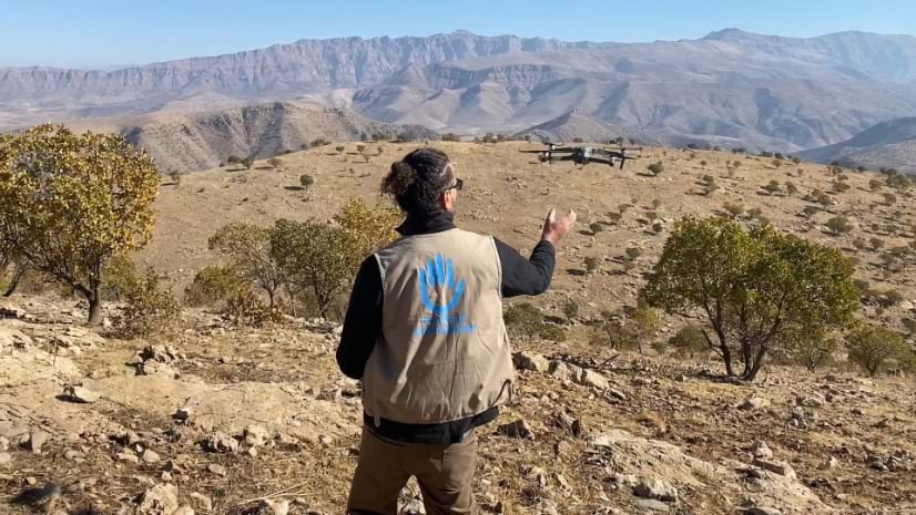
John Fardoulis of Mobility Robotics conducts a drone flight for demining work in Iraq. (Photo courtesy of John Fardoulis)
International attention and courageous efforts have cleared many countries of terrifying landmine hardships. In the last ten years, Rwanda, Nicaragua, and Mozambique were declared mine-free. Great progress has also been made in long-burdened countries including Angola, Chad, and Laos.
This momentum made the ambitious goal of a mine-free world by 2025 seem like a possibility. That is, until recent conflicts in Ukraine, the Middle East and elsewhere that have resulted in an increased use of improvised mines and other explosive devices. Now, 2025 is no longer feasible. But promising technology support from drones, sensors, and geographic information system (GIS) software is making mine clearance work safer, faster, and more accurate.
“There are many different scenarios where drones can help mine action because everything is geospatial,” said Xavier Depreytere, innovation project manager at Humanity & Inclusion, a nonprofit organization working in situations of poverty, exclusion, conflict, and disaster. “GIS is used to study the environment, capturing what you can see on the ground and from above.”
Humanity & Inclusion’s Odyssey 2025 demining project aims to make efficiency gains in the work of detecting mines and mapping minefields. The organization has partnered with Mobility Robotics to apply the latest tools and devise new workflows.
In support of the Odyssey 2025 project, John Fardoulis, director of Mobility Robotics, takes a science-based approach using drones and GIS. He has been to almost 300 minefields since 2018, testing high-tech and low-cost solutions that can be customized based on local minefield conditions.
Humanity & Inclusion’s small team of demining experts amplify the benefits by sharing these capabilities and training local people and other organizations. The modern methods are now helping demining teams run by partners, such as The HALO Trust, Norwegian People’s Aid, and the Mines Advisory Group.
In Chad, the Odyssey 2025 demining team learned many lessons, including how to deal with Saharan heat. The team combed the desert from 2018 to 2021 to help undo the ongoing harms of landmines placed during Chad’s civil war 30 years ago. The aim was to return the land to the people, eliminating the horror of children and livestock wandering into minefields to be maimed or killed.
Desert landscapes pose a particular challenge to deminers. Shifting sands erase telltale tracks. The featureless surroundings and lack of landmarks are dangerously disorienting. Mines could be anywhere. One morning, as the team neared a known minefield, the road disappeared into a sand dune. Short forays ahead failed to find the path.
Then, Fardoulis sent up a drone. From above, stones at the road’s edge popped out and he mapped them. “We joined the dots,” he said. “It saved months of work on the ground trying to find the starting point.”
In Chad, Fardoulis prototyped thermal/long wave infrared imaging, also known as thermography, to find the location of landmines. First, the team established a test site to monitor the thermal properties of buried mines at different times of day. They found the best time to fly was from 4 a.m. to sunrise in the summer, which also meant they could escape the daytime heat that exceeded 120 degrees Fahrenheit.
This thermal imaging method exploits the different heat retention properties of mines, compared to the surrounding sand. Plastic mines create a cool patch during the day and a hot patch at night, while metal mines do the opposite.
With this technology, the team detected more than 2,500 buried landmines in Chad— discerning the location and type—and marked a significant advancement in the field of humanitarian demining.
As the Odyssey 2025 effort has matured, its leaders have established a consultative role, going to far-flung minefields to analyze conditions and operations. The work on each minefield starts with a needs assessment and gap analysis to see how technology can help.
“I go in with no preconceptions and ask a lot of questions,” Fardoulis said. “I go to the field every day to see the real-world conditions, then come up with ideas we prototype.”
Minefield maps, made with ArcGIS, inform the planning and evaluation phases.
“Say we take 3,000 photos, like I did today of a 400,000-square-meter area,” Fardoulis said. “GIS allows us to plot and analyze each photo and to draw evidence points as pins on the map.”
Deminers take the map into the field using a GIS app on phones or tablets. They cross-check mine locations identified by drone imagery with manual, mechanical, or animal detection systems before carefully taking out each mine. They capture their work on the map to share where they have been and record which areas still need to be cleared.
The data collection and visualization made possible by GIS helps garner support from operational teams and regional management, as well as donors and national and international humanitarian organizations.
In 2020, the Odyssey 2025 project received the European Innovation Council’s Union Horizon Prize and has used the €1 million award to expand its reach and further its innovation.
The lessons learned by teams from Humanity & Inclusion and Mobility Robotics over the past five years are now being applied in Ukraine—where there is the world’s largest concentration of minefields.
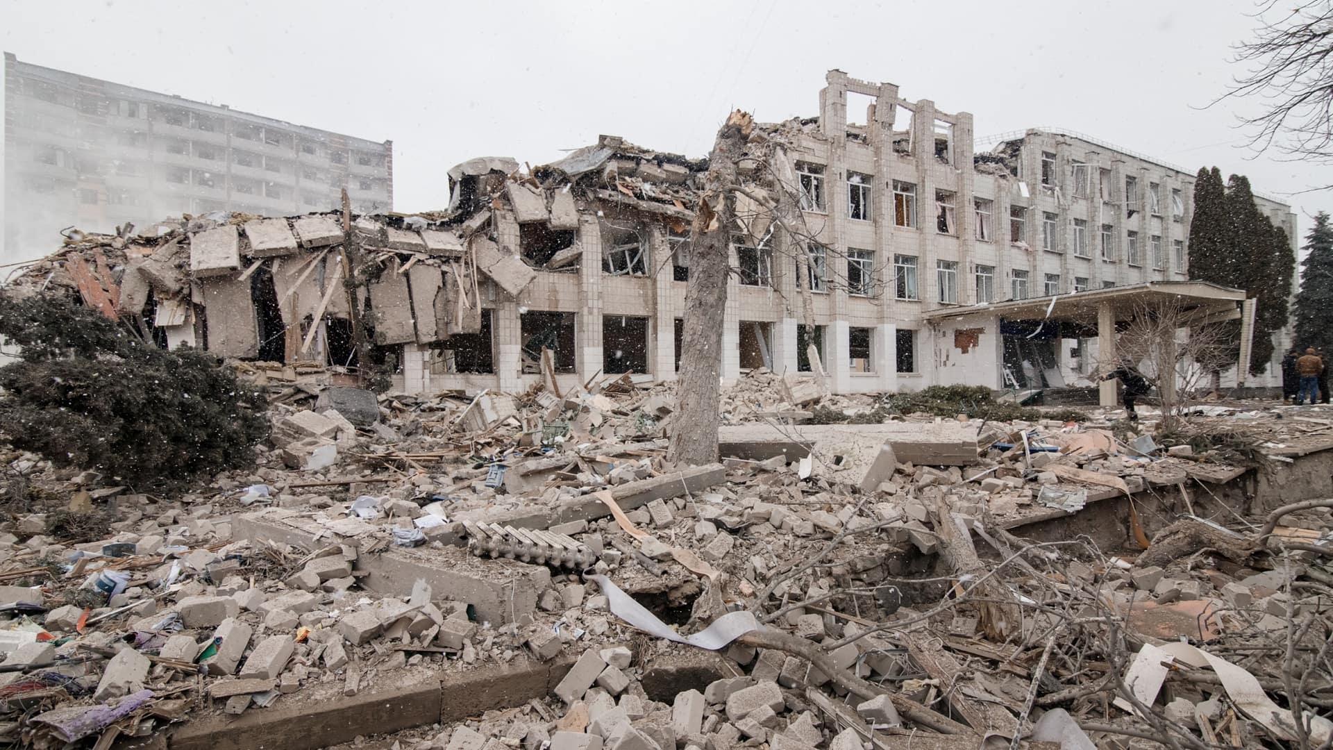
The new thermal method effective in the sands of Chad doesn’t work in Ukraine’s denser soils. Instead, Fardoulis and team have been perfecting high-resolution mapping with outputs called orthomosaics to visually inspect fields. Because the conflict is so fresh, this high-resolution imagery can show unexploded bombs sitting on the surface or reveal disturbances in the dirt that signal potential buried mines.
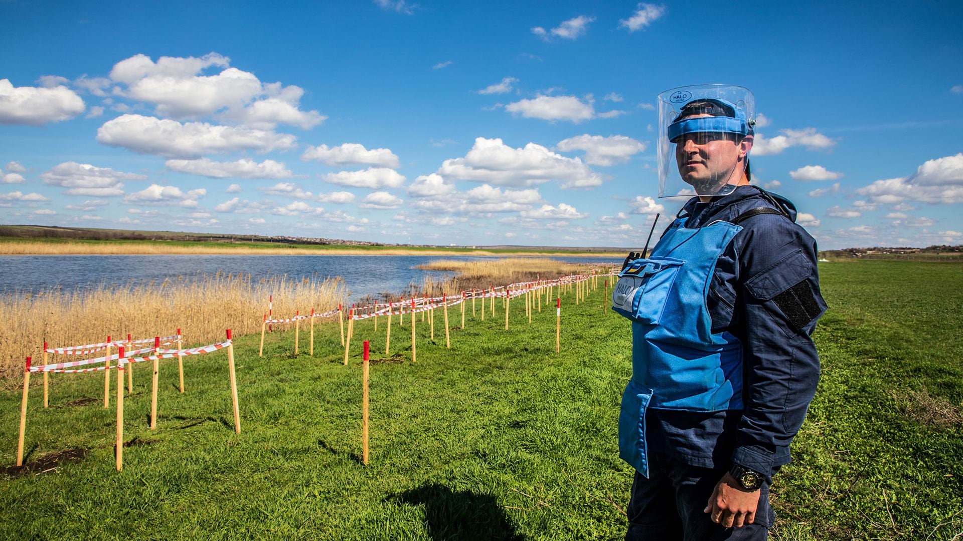
Humanity & Inclusion and Mobility Robotics are working with The HALO Trust, which employs more than 1,200 Ukrainian staff, to conduct demining work across the country. One struggle the collective teams currently face is the shortage of drone mapping specialists.
Their ambition is to democratize the technology so fleets of drones can document damage nationwide while evidence of the conflict remains recent.
“Ukraine might be the place where we can finally scale up what we’ve been trying to do everywhere,” Depreytere said. “But we have to act quickly to capture the damage because vegetation covers up all the craters, all the trenches, and the explosive ordnance on the surface.”
Learn more about how GIS is used to prepare, manage, and deliver effective humanitarian assistance.


