


December 15, 2022 | Multiple Authors | Public Safety
April 29, 2025
Every year over six million visitors are drawn to North Carolina’s Lake Norman, where nearly year-round recreation transforms the water into a playground for boating enthusiasts, swimmers, fishers, and watersport adventurers. Shoreside dining at restaurants and private homes adds to the lake’s popularity.
But with so many people in and near the water safety is a perpetual concern. Between 2012 and 2023, 28 people lost their lives in the lake, many of them while swimming or boating.
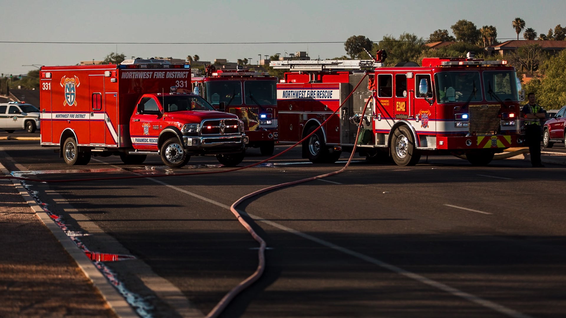
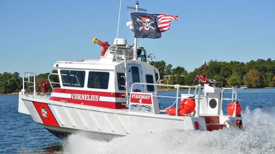
The lake’s breathtaking 500 miles of shoreline and 50 miles of surface water—dotted with scenic coves and inlets—create unique challenges for emergency response. Cornelius-Lemley Fire Rescue, one of seven agencies patrolling the lake, handles approximately 3,500 calls for assistance annually. Pinpointing exact locations in the vast landscape, especially during low visibility night conditions, can critically delay response times when every second counts.
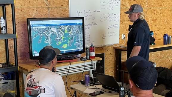
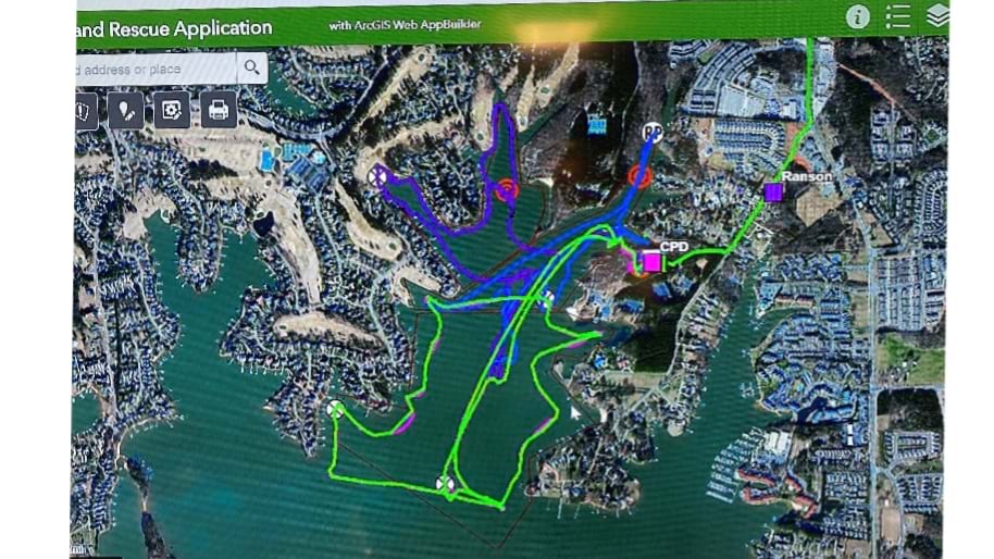
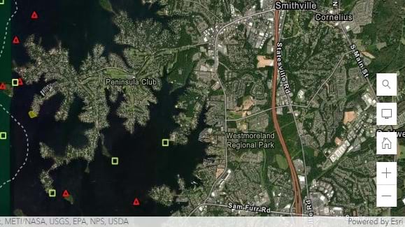
This is where innovative technology becomes a lifesaver. Using GIS mapping, incident commanders now assess aeriel views of the lake enhanced with live tracking feeds–transforming how response teams navigate and collaborate during emergencies.
“Having situational awareness decreases an incident commander’s anxiety when assets may be out of the line of sight,” said Ed “E.J.” McCormick, assistant fire chief in Cornelius. This level of precision and efficiency in coordinating each response can save lives. “Using the GIS platform keeps incident commanders aware and better able to maintain an appropriate span of control.”
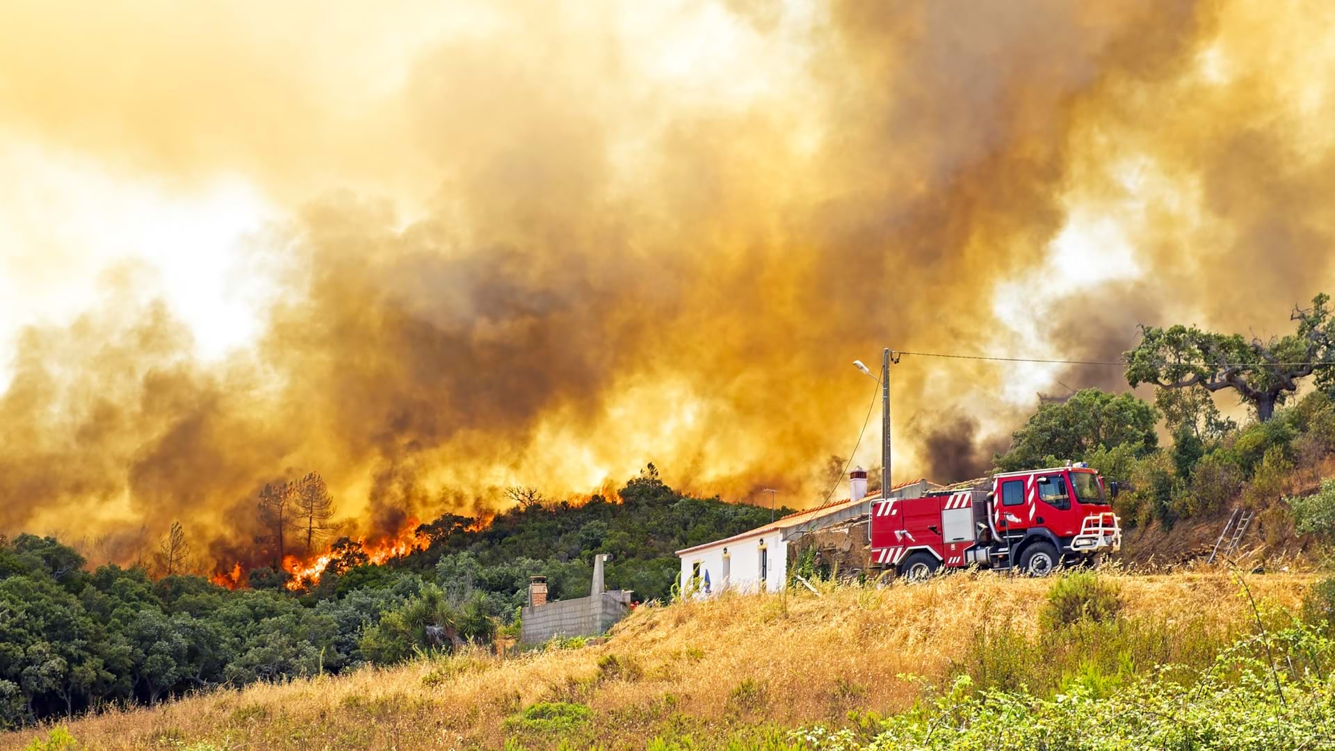
The Cornelius fire department’s territory includes 70 miles of shoreline along some of Lake Norman’s widest and most exposed waters and its responders face diverse challenges daily. Beyond marine incidents, their territory demands expertise in emergency medical services, vehicle or confined-space rescues, structural collapse assistance, and hazardous materials response.
Calls for help can come from one of the area’s small, turn-of-the-century neighborhood homes, or from among large lakefront residences that span up to 30,000 square feet. The town also has industrial properties, four public schools, and jurisdiction over many incidents on busy Interstate 77.
With just 13 fire department staff members on duty per day, an emergency or lengthy investigation on the lake can tax resources.
“Large incidents on the water could last for a duration of two to three days,” McCormick said. “During this time, there are multiple operational periods. Local responders coming off the current operation period faced the challenge of communicating to the oncoming shift the areas searched and information collected.”
The mission complexity of large-scale emergencies can grow quickly, requiring collaboration from many partner agencies.
To achieve better situational awareness and improve joint response efforts, the department changed from using an incident-location response strategy to managing incidents from a central command post. This means the incident commander no longer travels to the scene but, instead, oversees and manages each operation remotely, with the support of technology like GIS.
Response teams use maps and tools inside the ArcGIS Field Maps application to sync with the new command strategy.
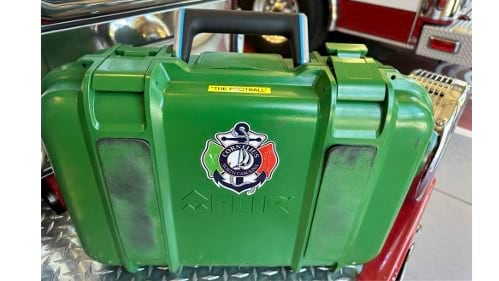
The incident commander has access to the GIS application from a compact green case that team members call “the football.” The case holds a mobile command center—a laptop computer, accessories, and at least one mobile device. A large-screen monitor, and a mobile desk are also a part of the setup.
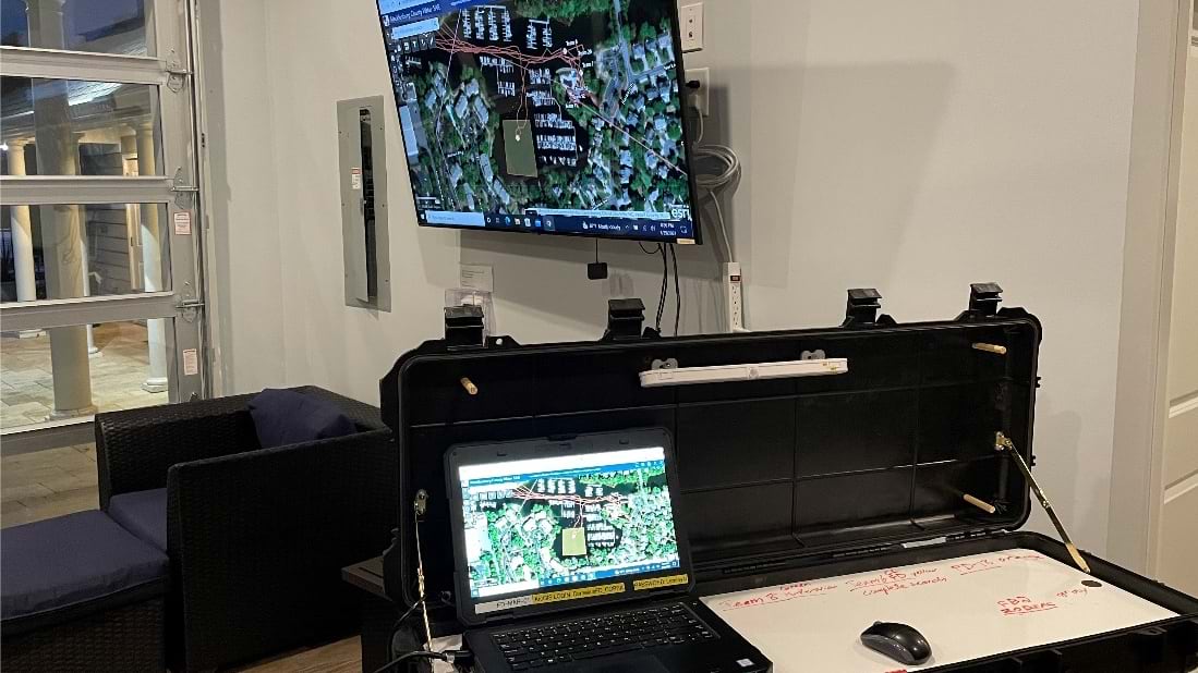
Most importantly, the maps used by response teams have clear location markers, ensuring precise coordination during emergencies. This shared visual information system mitigates confusion and allows stronger communication between all agencies involved in rescue operations.
“Even if an agency initially does not have the radio technology to communicate with an incident commander, GIS fixes that, as the system runs on responders’ cell phones,” McCormick said.
Information and photos collected at the site become part of a data library for each incident. The data helps the commander plan a response and modify it as needed while also tracking and documenting progress. All or parts of the data are available to the response team and partner agencies in Mecklenburg County.
Heightened situational awareness for first responders and Mecklenburg County agencies has brought many benefits. Chiefly, incidents that once took two or three days to resolve are now often handled within hours. Decreasing time at incident sites puts responders back in the community faster.
Using apps and a GIS platform improves incident documentation, automates data sharing at shift changes, and contributes significantly to time savings.
With these operational changes, the Cornelius fire department was better prepared to respond to three recent drownings at the lake. And the department used technology to support an evacuation as natural gas leaked from a transcontinental pipeline.
The technology also has made departmental training more efficient. During the summer 2022, the department extended GIS training to partners, including law enforcement, other fire departments, and the US Coast Guard Auxiliary.
“GIS is truly a component of a joint response we simply cannot do without,” McCormick said. “We now have the ability to streamline reported information from the field directly to incident command. We can make decisions based on real-time information.”
Learn how fire, rescue, and emergency medical service agencies optimize their response with GIS.