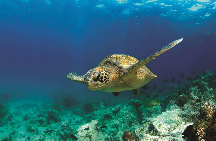
Snorkelers, scuba divers, and beachgoers who spot sea turtles can help scientific researchers learn more about the elusive and often endangered marine reptiles.
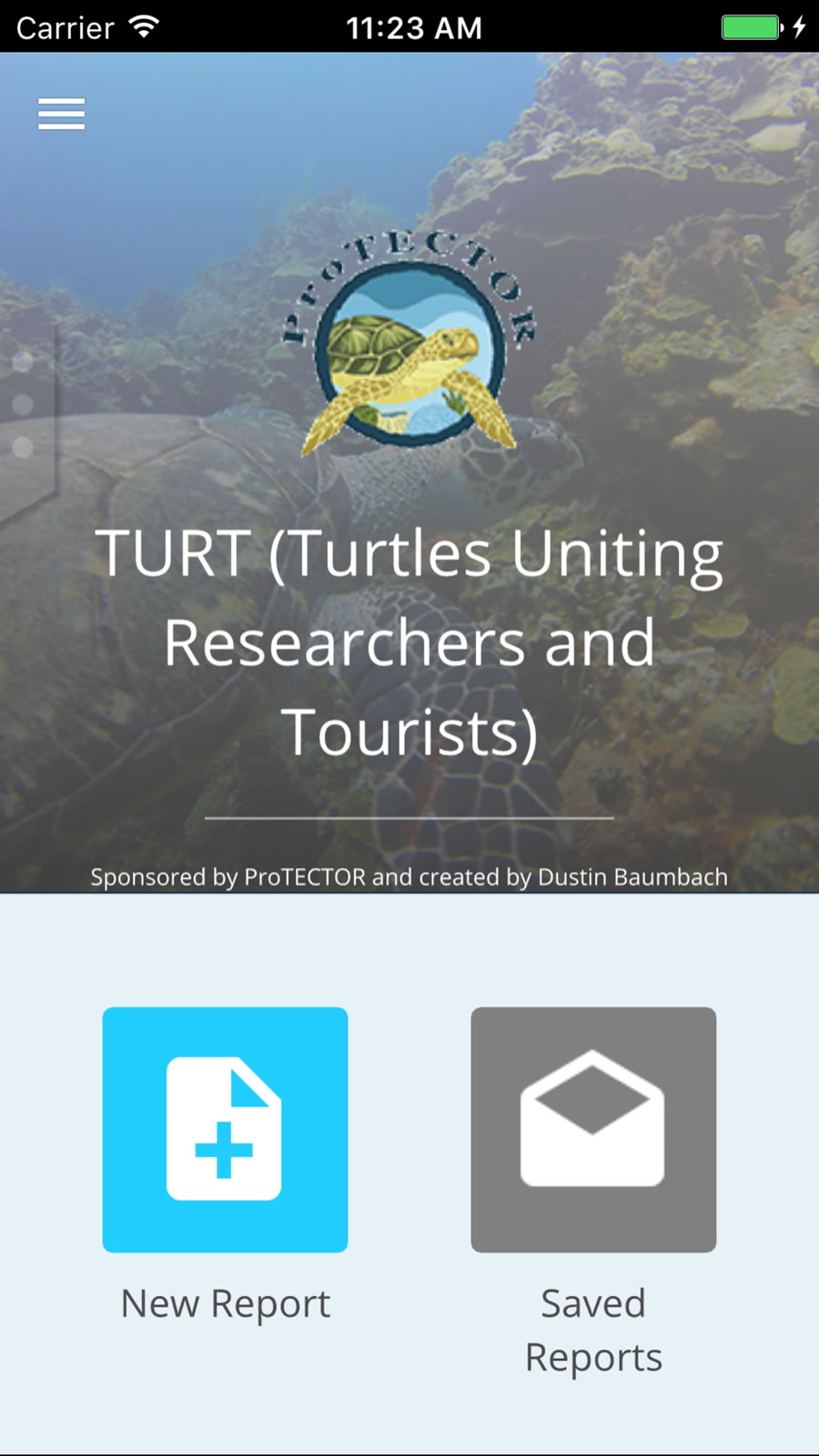
All they need to do is download an app called TURT (Turtles Uniting Researchers and Tourists) onto their smartphone before they hit the beach or go out on the water. The app is available on iOS and Android.
Dustin Baumbach, a PhD student and marine researcher at Loma Linda University in California, built TURT using AppStudio for ArcGIS, which Esri developed to help users create mobile mapping apps quickly. The mapped data from TURT is available for sea turtle research, including the work being done by the non-profit Protective Turtle Ecology Center for Training, Outreach and Research, Inc., (ProTECTOR).
“Data uploaded by scientists and citizen scientists [will] help our research by mapping out locations of turtles to help us track population numbers within countries and, through the help of photo identification (photo ID), track individuals on a global scale,” Baumbach said.
Today in places such as the US Virgin Islands, Honduras, and Hawaii, sea turtles can frequently be spotted swimming along ocean currents or crawling onto beaches to lay their eggs.
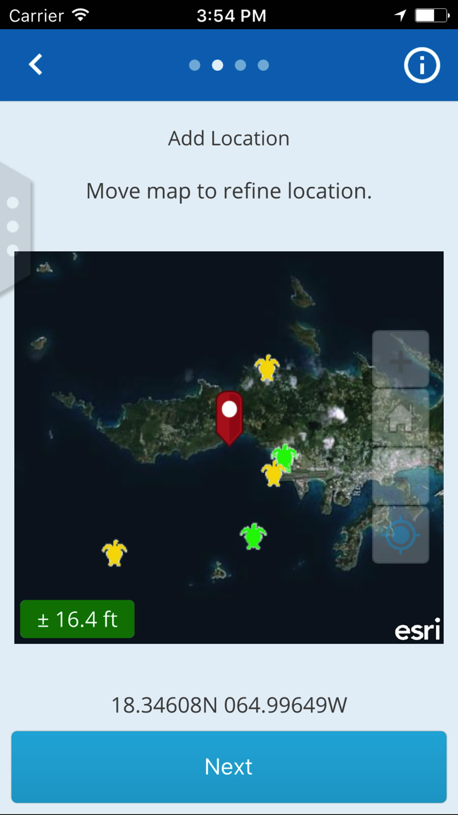
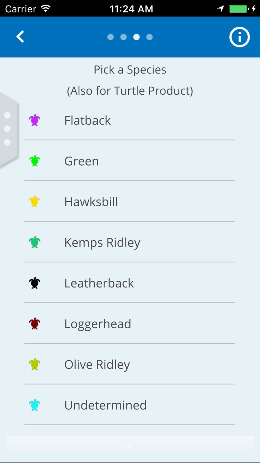
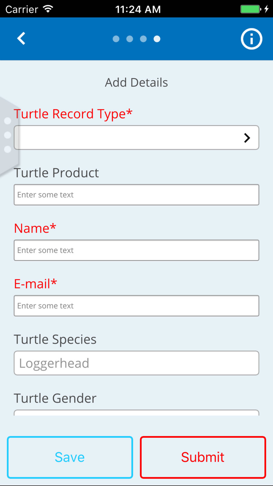
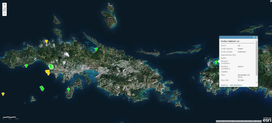
When TURT app users see a sea turtle, they can snap a photo of the marine reptile; add its location on a map; choose from a list to indicate the type of turtle—for example, Hawksbill, Loggerhead, or Olive Ridley—they spotted; and type in some details such as the weather conditions, depth of the ocean, and time of day and date of the sighting.
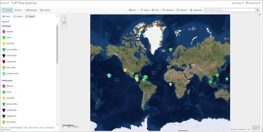
A map is available to ArcGIS Online users that shows all the turtle sightings collected by the app’s users.
To build TURT, Baumbach selected AppStudio for ArcGIS because it allowed him to create a consumer-friendly mobile app that works with Android, iOS, Windows, Mac OS X, and Linux. The app can be used in offline mode, so divers in remote areas without cell phone coverage can still record sightings. Moreover, using AppStudio for ArcGIS let Baumbach publish TURT in app stores, using his own brand. In this case, he employed branding from ProTECTOR, Dunbar’s nonprofit organization.
“I had never made an app before, but AppStudio was very simple to use,” Baumbach said. “I downloaded the app, put all my info into the Quick Report template, and then customized it using the AppStudio language. Being able to deploy the app across platforms is a big benefit. And it’s good that we can brand it through our organization.”
Baumbach and Dunbar have started promoting the app to dive operators around the world, with a focus on the Caribbean, Thailand, Malaysia, Australia, and Indonesia, since those are places where people have already started uploading sightings. Additionally, the app allows users to map places where sea turtle products, such as souvenirs made from their shells or sea turtle meat, are being sold and thus help curb these illegal dealings.
“We are able to track the locations where turtle products are being sold so that we can work with local governments to stop this illegal trade,” Baumbach said.
The TURT app is free and can be found in the Apple and Google Play app stores.
