A South Carolina City Leverages GIS Technology, Training
The city of Greenville has used GIS technology in many facets of its downtown revitalization initiatives.
April 2025

The city of Greenville has used GIS technology in many facets of its downtown revitalization initiatives.
Learn how to change the layer properties of an existing feature layer to better suit your purposes.
GIS technology and community collaboration map snow leopard habitats, analyze their movements, and develop sustainable conservation strategies.
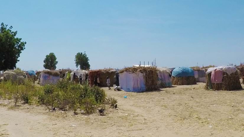
Maps and analysis convey human stories of terror, loss, and displacement.
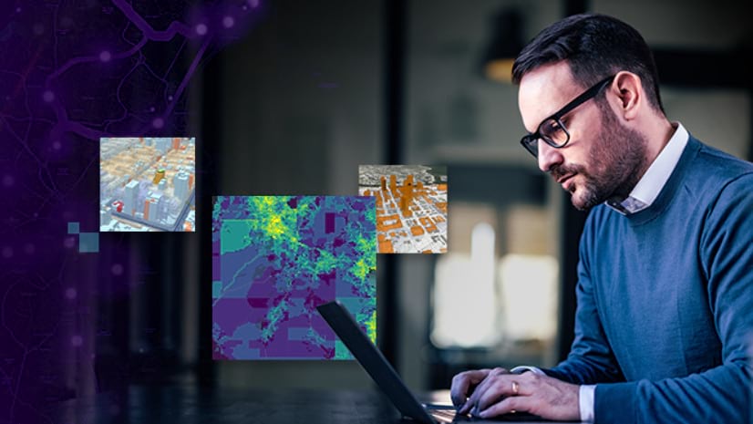
Innovative marketing leaders at Fortune 500 companies are using GIS technology to gain insights.
Plan your Esri User Conference 2025 Summit Events experience.
Select partners won awards for outstanding application of GIS at the Esri Partner Conference in Palm Springs, California.
New integration provides highly detailed and visually immersive basemaps in ArcGIS.
Generative AI is simplifying access to location insight across the enterprise.
Sketch a proposed mixed-use development in San Francisco's Mission Bay neighborhood.
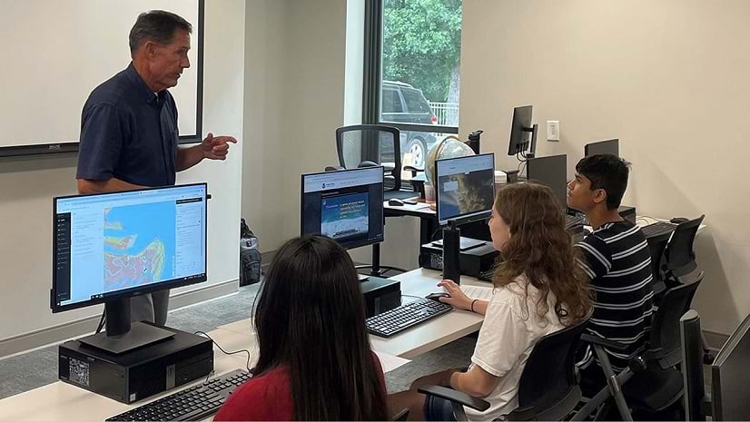
A faculty-developed GeoEd program introduces high school teachers and students to GIS and geoscience.
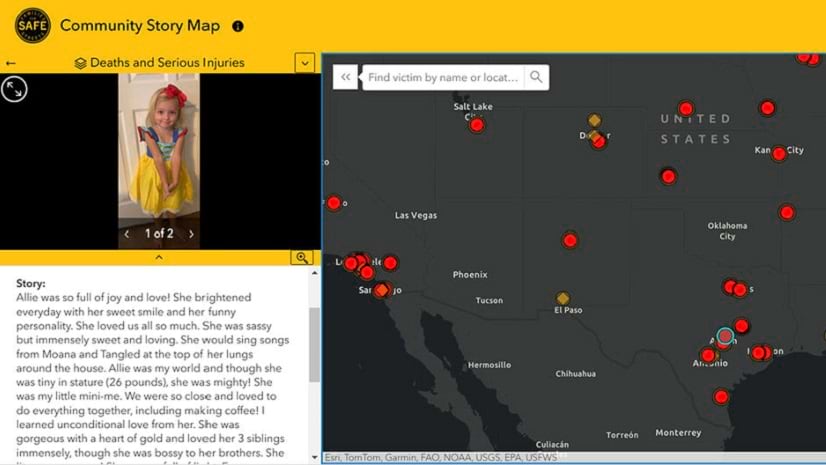
GIS technology supports a nonprofit organization that advocates for traffic changes that save lives.
Digital twin technology helps facility managers address risks.
A web tool uses GIS technology to display housing units per acre and population levels.
If you have 4+ years of ArcGIS experience and want to validate your skills, check out the ArcGIS Pro Professional 2025 Certification Exam.
Learn how to use ArcGIS system patterns and apply key architectural approaches across the system life cycle in this learning plan.
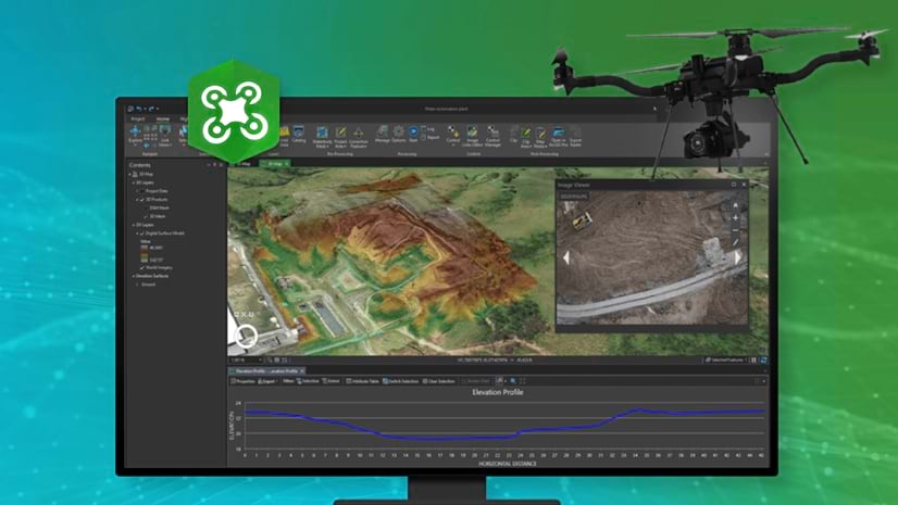
This quick training seminar covers the latest ArcGIS Drone2Map capabilities and workflows to add, process, and analyze drone-captured imagery.