President Harry S. Truman once said, “Not all readers are leaders, but all leaders are readers.”
If you want to be the best that you can be in the GIS field or just want to become more knowledgeable about geography and the power of geographic thinking pick up a copy of one of the books on this list. All these books are generating buzz in the GIS and geography communities and make excellent summer reads.

- The Invention of Nature: Alexander von Humboldt’s New World winds back the clock to the early nineteenth century, when geographer and naturalist Alexander von Humboldt’s scientific observations gave rise to the idea that the earth was “one great living organism.” Author Andrea Wulf’s biography of Humboldt recounts his scientific expeditions, including what he learned during a grueling 1802 trek up Mount Chimborazo in Ecuador. She writes about his meetings with US president Thomas Jefferson and how he deeply influenced people such as Charles Darwin, John Muir, and Henry David Thoreau. Wulf’s recent article in The Atlantic calls Humboldt the “forgotten father of environmentalism.” Wulf shared some of the research she did for the book when she gave the Keynote at the 2016 Esri User Conference, where she paid tribute to Humboldt’s contributions to geography, ecology, and conservation. (Knopf Doubleday, ISBN: 9780385350662, US$19.54).
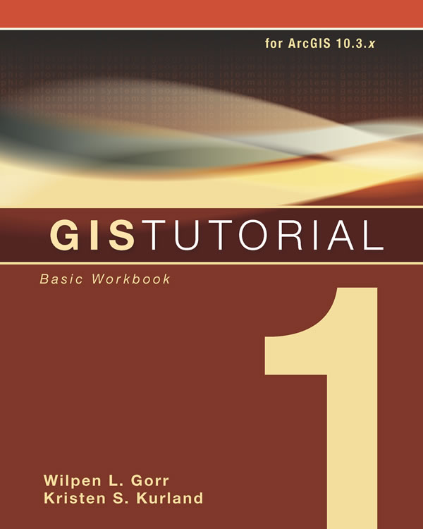
- GIS Tutorial 1: Basic Workbook grounds GIS beginners in the essentials of how to use the Esri ArcGIS platform. Readers will learn how to design different types of maps, geocode data, build a file geodatabase, and analyze spatial data. Each chapter includes interesting assignments such as creating and sharing a map using ArcGIS Online; digitizing police beats in Pittsburgh, Pennsylvania; and analyzing the number of Californians who live in urban areas where earthquakes have occurred. (Esri, print edition ISBN: 9781589484566, US$79.99; e-book edition ISBN: 9781589484641, US$39.99.)

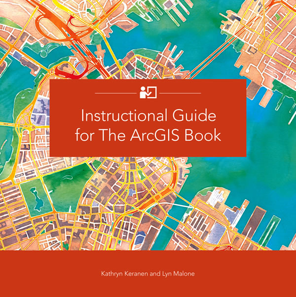
- Instructional Guide for The ArcGIS Book serves as a companion to The ArcGIS Book: 10 Big Ideas about Applying Geography to Your World, which Esri published in 2015. The lessons in the guide correspond to each chapter of The ArcGIS Book, which covers topics such as web maps and apps, 3D and mobile GIS, geographic data, spatial analysis, and real-time GIS-based operations. Readers get to test their GIS skills while working through interesting scenarios. For example, they will get to make an Esri Story Map app that promotes a play in Washington, DC; build and publish a web app that shows population change over a 10-year period; and find patterns of crime in a Nebraska city. The book works well as a lab manual for students, an instructor’s guide for teachers, or even a refresher course for those who want to brush up on their web GIS skills. Watch the video. (Esri, print edition ISBN: 9781589484702, US$59.99; e-book edition ISBN: 9781589484719; US$39.99.)

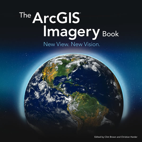
- The ArcGIS Imagery Book: New View. New Vision gives readers hands-on experience working with imagery and remote sensing data in a GIS. The book, edited by Esri director of software products Clint Brown and Esri writer and editor Christian Harder, also takes readers back in time, explaining earth observation technology’s evolution, starting with the advances made during World War II; continuing through the space race and the early years of the Landsat program; and leading to the mid-2000s, when people started to use virtual globes on their personal computers to view imagery of their homes. Brown says this is when the “human era” of GIS began. The book contains thought leadership pieces on imagery, including those from Esri president Jack Dangermond; satellite archaeologist Sarah Parcak; and Pascal Mueller, director of the Esri R&D Center in Zurich, Switzerland. The book covers a wide range of topics including the integration of imagery into ArcGIS, 3D GIS, imagery analysis, and the use of drone imagery in GIS. Readers get to “learn by doing”—and work with imagery in a GIS via online lessons. The book is available in print or online at TheArcGISImageryBook.com. Watch the video. (Esri, ISBN: 9781589484627, US$19.99).
- Ocean Solutions, Earth Solutions, (Second Edition), plunges readers into the thick of projects in which GIS has been used to study oceans and marine life, and do coastal conservation planning. Several chapters have been updated, and seven chapters have been added to this edition, which was edited by Esri chief scientist Dawn J. Wright. The new chapters include research on seamounts; satellite bathymetric surveying and seafloor mapping; and the US Navy’s work in analyzing, visualizing, tracking, and managing energy-related data. This book is a perfect read for professionals, students, and academics interested in using technologies like GIS in their ocean and marine science and conservation research. (Esri, print edition ISBN: 9781589484603, US$59.99; e-book edition ISBN: 9781589484658, US$39.99).

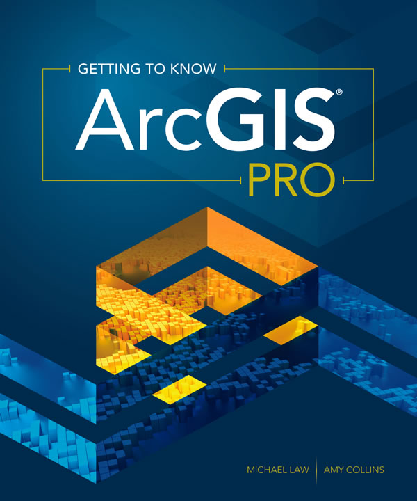
- Getting to Know ArcGIS Pro introduces readers to Esri’s ArcGIS Pro, often described as being a new generation of GIS software from Esri. You can do 2D or 3D visualization and analysis with the application, which has an easy-to-use, ribbon-based interface. The lessons are easy to navigate, too, providing clear and concise steps on how to do things such as create projects and import map documents into them, convert a 2D map into a 3D map, build a geodatabase, create a geoprocessing model, and analyze spatial and temporal patterns. ArcGIS Pro is part of the ArcGIS for Desktop suite of applications, which also includes ArcMap and ArcGlobe. (Esri, print edition ISBN: 9781589484573, US$84.99; e-book edition ISBN: 9781589484580, $US$39.99)
- Esri Map Book, Volume 31, showcases a selection of maps and apps that illustrate how the Esri ArcGIS platform is being used to help users make better decisions, from determining the most efficient transportation routes to mitigating the effects of natural disasters. (Esri, ISBN: 9781589484689, US$24.99)
Good reading. And keep an eye out for new editions of Getting to Know Web GIS and Map Use, both of which will be published this fall by Esri. Note: Esri offers ArcGIS trial software with each workbook.

