Where will you be and what will you be doing on Wednesday, November 13? If you are a GIS professional, work with maps on a regular basis, or just love maps and mapping, consider hosting or attending a GIS Day event in your community.
“This day [focuses on] what GIS is and helps educate people about the power of this wonderful tool and how it’s beneficial to people,” says Esri president Jack Dangermond.
This year will mark the 20th annual GIS Day, an international celebration inspired by environmentalist Ralph Nader but supported strongly through the years by organizations such as Esri, the American Association of Geographers (AAG), and the National Geographic Society. In fact, GIS Day always coincides with the National Geographic Society’s Geography Awareness Week, which this year will be held November 10–16.
So what can you do on November 13—or another day that may be more convenient—to show colleagues, students, or the public how GIS technology provides the capabilities to analyze, visualize, manage, and share important information? Here are several ideas:

- Host an open house for your coworkers or people who live in your community. You may want your staff to give presentations about what role GIS plays within your organization and then present a few technology demonstrations. For example, the City of Rockwall, Texas, will host its sixth annual GIS Day on November 12. GIS and GPS technology will be on display. There will be a map gallery to view, along with educational videos. Yolo County in California will sponsor an open house on November 13 at the Yolo County Administration Building atrium in Woodland with lightning talks, a geo-Jeopardy game, and displays showcasing Yolo County projects that use GIS.
- Sponsor a map gallery, bring in speakers, and put on a map poster contest. That is what the University of California, Riverside (UCR), will do when the school hosts GIS Day at UCR 2019 from noon to 4:00 p.m., November 14, at the Orbach Science Library on campus. The event is open to the public.
- Design a GIS Day for children. That’s what the City of Boise, Idaho, plans as it hosts a Map Mania event for children aged 5 through 11 on November 15 at the Boise Watershed Environmental Education Center. The youngsters will learn to create maps, map a watershed, try their hand at geocaching, and participate in other activities. ISC in Regina, Saskatchewan, Canada, will hold a GIS Day workshop for children aged 5 through 11 at the Jack Mackenzie School on November 12. The kids will use GIS to analyze the features of their community and learn how to make a map using an aerial image. Another idea to try: Walk students through the process of making a story map using the new ArcGIS StoryMaps builder in ArcGIS Online. The new builder lets you add text, maps, photos, and videos with just a few clicks.

- Go big. Host a GIS conference with representatives from academia, government agencies, and information technology companies. That’s what Esri Bulgaria will do when the company sponsors GIS Day in Bulgaria at the Sofia Hotel Balkan on November 12. About 700 people are expected to attend.
- Go bigger. Host a technology carnival that incorporates GIS. That’s what the Innovation and Technology Commission in Hong Kong plans, beginning October 25 at the Hong Kong Science Park. The nine-day InnoCarnival 2019 will be a carnival-style gathering with a focus on technology, mainly for the youth. The estimated number of attendees: 200,000.
- Make your own GIS Day video, like this one called Make Every Day GIS Day, and then share it on your social media channels.
- Create your own georelated quiz using Survey123 for ArcGIS, ArcGIS StoryMaps, or the presentation capability in ArcGIS Online. Examples include Name That Place and Weird Earth. Or you can try to create a photo map quiz, such as that shown on slide 5 of the 5 Forces, 5, Trends, and 5 Skills in GIS story map or embed a quiz into a Story Maps Series app as the Port of Tacoma did for its GIS Day celebration in 2018.
- Get outside! Create a geocaching event at a park or your organization’s facility or property. Browse through this collection of geocaching courses that have been tested on a wide range of ages. You also can show your GIS Day attendees how to use one of Esri’s mobile data collection apps such as Collector for ArcGIS.
- Share with other people the fascinating characteristics of Earth using the ArcGIS Living Atlas of the World. These can include ecoregions on land or in the oceans, current weather, population, or natural hazards. Use web mapping applications, such as those focused on international migration, and precipitation, snowpack, and soil moisture, or compare senior population or current traffic in different urban areas around the world.. Understand how your community has changed via satellite imagery in the World Imagery Wayback app or by examining United States Geological Survey (USGS) historical maps.
- Invite other organizations that use GIS to your event. Watch this video from the Blinn Geographic Society at Blinn College in Texas, which invited many organizations to the campus to show students how GIS is used in real-world situations. Among the organizations that participated were the City of Bryan, Texas, and KBTX-TV, which uses GIS for weather tracking.
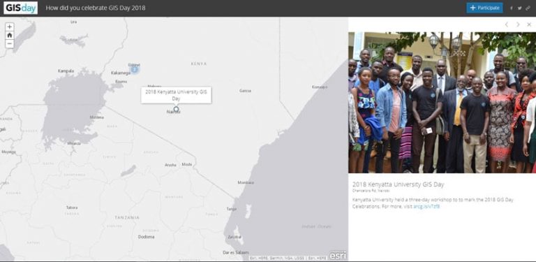
To register your upcoming GIS Day event and have it mapped and to download resources such as GIS Day posters, activities, and flyers, visit the GIS Day website. After GIS Day 2019 is history, please return to the site and share with the GIS world the story of what you did!
GIS Day provides inspiration to so many individuals who aspire to be part of the GIS Community. Capitalizing on the enthusiasm of elected officials, executives, co-workers, students, and friends is critical to furthering the momentum. Esri would like to support your local GIS community by providing five ArcGIS for Personal Use licenses to each GIS Day host who registers their event on the Esri website.
Each host can decide how to distribute these five licenses. This could be in the form of drawings, contests, young professionals network activities, as a gift to presenters, donations to nonprofits, or however you wish to further the GIS practice beyond GIS Day. Licenses must be redeemed by January 13, 2020.


