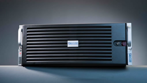
Global terrain elevation data for use in 3D clients, the popular World Dark Gray Canvas basemap, and updated high-resolution imagery for many areas of the world are included in the new version of Esri’s Data Appliance for ArcGIS.
Data Appliance for ArcGIS is an on-premises data and hardware solution that provides your organization with basemaps and reference layers in a secure environment, behind a firewall. Ready-to-use maps such as imagery, street, topography, shaded relief, and elevations enable you to create, publish, and share map services securely.
“Content is crucial to GIS, and the ability to provide a solution to those that have on-premises needs for security or have performance concerns is fundamental for many organizations leveraging the ArcGIS platform,” said Dean Garner, Data Appliance sales manager for Esri.
This release of Data Appliance for ArcGIS features content updates and enhancements as well as new maps and services.
Data Appliance for ArcGIS includes a network-attached storage (NAS) device that contains prerendered and precached content and connects directly to your internal network. The solution is licensed as five different products based on geography, the level of detail, and the extent of the content. As a solution designed to run with ArcGIS for Server software, the following two product options are available:
- Data Appliance for ArcGIS is for organizations that already have ArcGIS for Server. Agencies can purchase a preloaded NAS device with the Data Appliance for ArcGIS product of choice.
- Data Appliance for ArcGIS for Server Bundle is for organizations that do not have ArcGIS for Server. It includes a preloaded NAS device with the Data Appliance for ArcGIS product of choice plus ArcGIS for Server software.
Learn more about Data Appliance for ArcGIS, or call 1-800-447-9778.
