GIS Helps State Energy Office Evaluate Disaster Risk
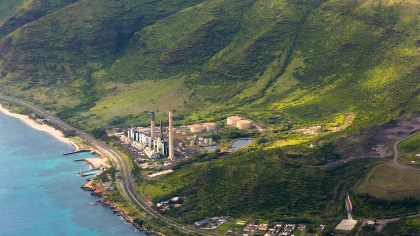
To understand and prepare for natural disasters, the Hawai‘i State Energy Office quantifies risk to understand infrastructure vulnerabilities.
To understand and prepare for natural disasters, the Hawai‘i State Energy Office quantifies risk to understand infrastructure vulnerabilities.
Author and journalist James Fallows explains why geospatial technology is a catalyst for positive change.
In Arizona, a city has a long history of integrating GIS with its operations.
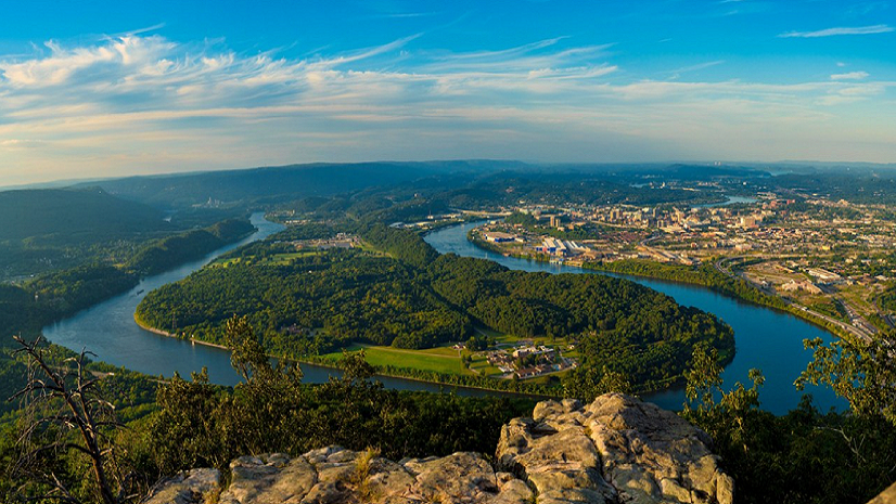
Explore the role of GIS in parks and how a Tennessee city is using this technology to become America's first National Park City.
Explore how an Alabama city modernized its sewer system management using ArcGIS and ITpipes inspection software.
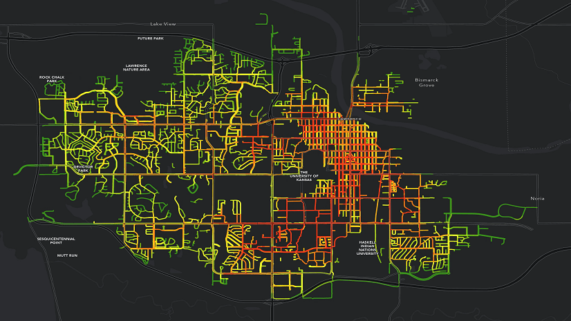
In Seguin, Texas, a one-person GIS shop implemented ArcGIS Enterprise and ArcGIS Monitor to track GIS performance.
Regional councils and governments play a key role in understanding and modernizing local government housing policies.
Check out park equity in practice using GIS from a former supervisor in a special parks district.
D’Artagnan Scorza from LA County explains how location technology is being used to address social injustice.
Public works is responsible for key infrastructure that keeps a community running. Learn how they incorporate equity into their work with GIS.
The Sign Management solution helps City of Grimes, Iowa, easily track and maintain its road signs, poles, and streetlights.
Equity in land records is crucial for accurate land assessments. Learn how GIS technology helps advance equity in this industry.