Managing Pennsylvania’s Wildlife for Hunters and Healthy Habitats
ArcGIS technology helps ta state game commission manage 1.6 million acres open to hunting.
ArcGIS technology helps ta state game commission manage 1.6 million acres open to hunting.
Scientists use GIS technology to help enhance biodiversity and climate resilience.
By combining oceanic data with GIS technology, an online hub will support sustainable ocean and coastal development.
Explore the challenges and opportunities of adapting the power grid to accommodate renewable energy sources and evolving energy demands.
Mauro Laurenco, research scientist for the Wild Bird Trust, explains how peatlands hold promise in countering the effects of climate change.
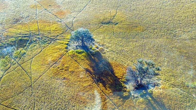
Steve Boyes, founder of the National Geographic Okavango Wilderness Project, discusses the effort to preserve Botswana's Okavango Basin.
Researchers at Taita Taveta University are using imagery and ArcGIS technology to mitigate the grim effects of gully erosion in southern Kenya.
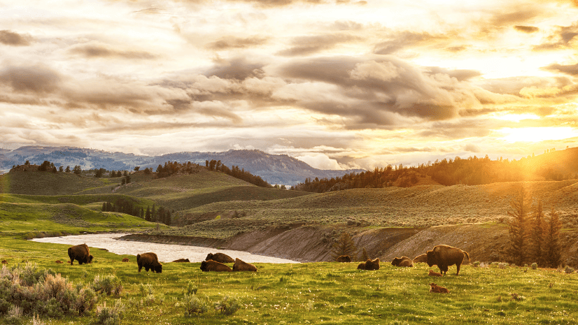
American Prairie reflects on how GIS improves operational management to support conservation efforts.
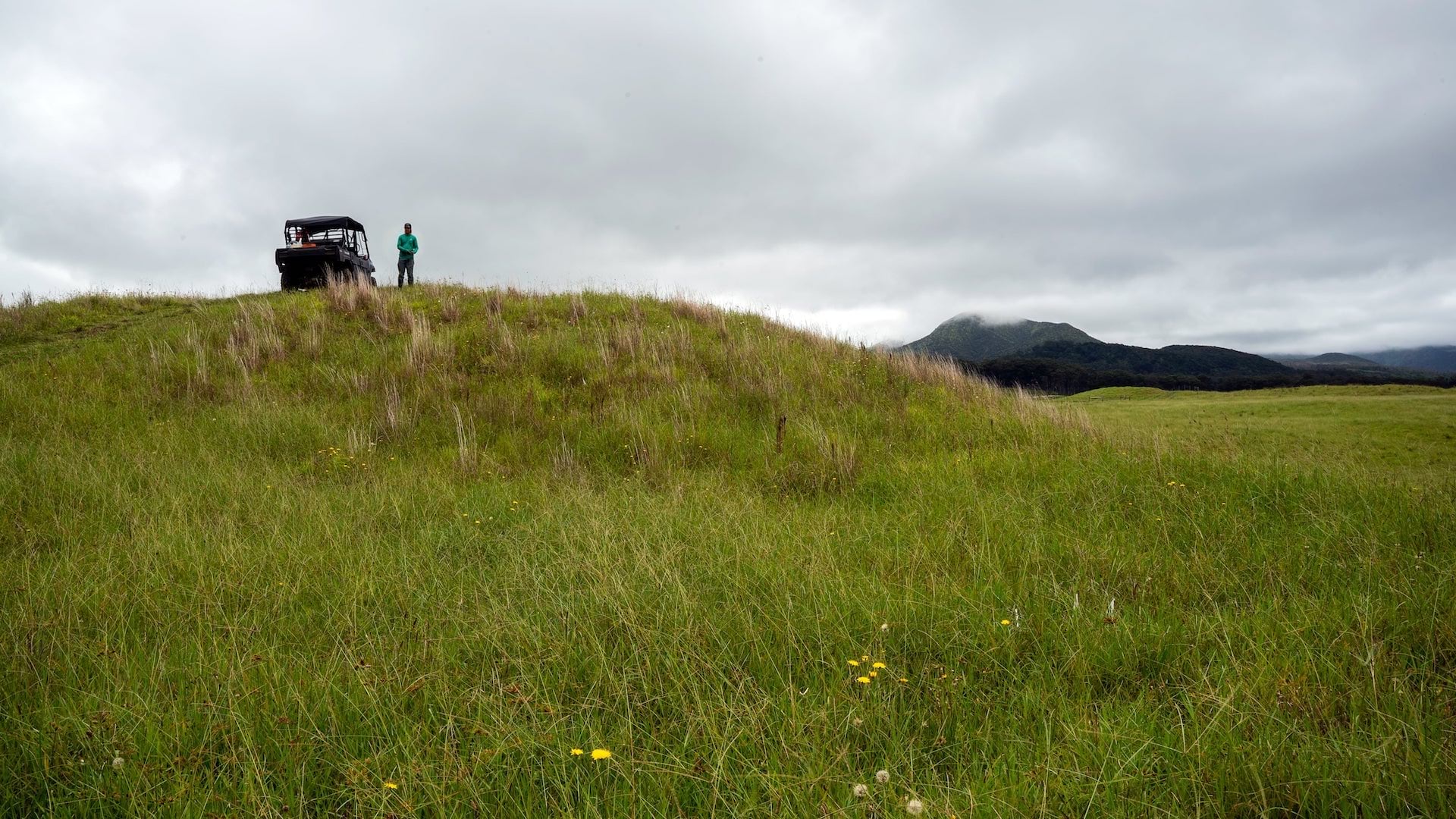
Terraformation is shaking up the reforestation game by using GNSS and ArcGIS technology to map plants that mimic the growth of native ecosystems.
Listen as James Hardcastle from the International Union for Conservation of Nature points to signs of positive change in planetary conservation.
Preserving Our Planet, a new title from Esri Press, explores how conservationists use GIS to meet challenges to biodiversity preservation.
The California Natural Resources Agency mobilized to develop an interactive engagement hub, Pathways to 30x30.