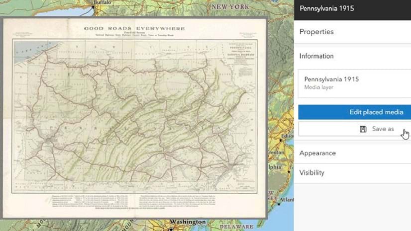
5 Tips for Editing in Map Viewer
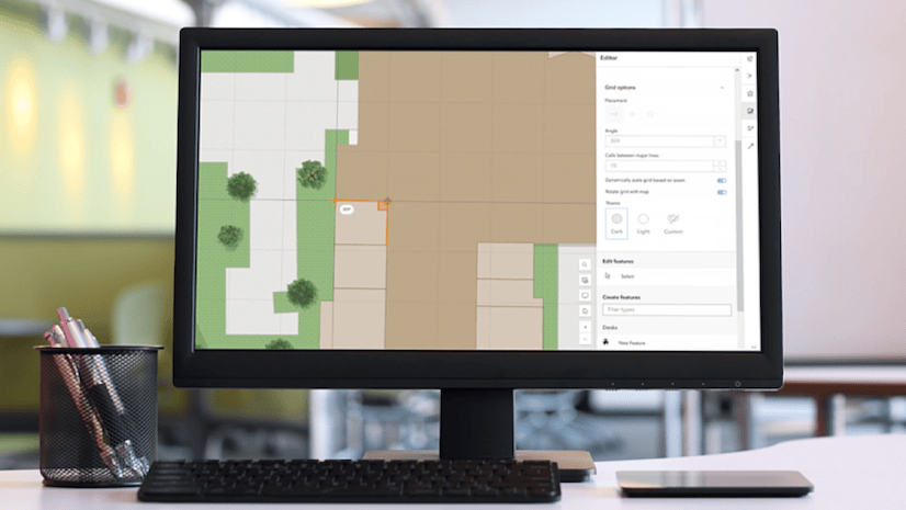
New tools are available in Map Viewer to simplify editing workflows, including new drawing tools for creating features.
New tools are available in Map Viewer to simplify editing workflows, including new drawing tools for creating features.
The June 2025 update includes new capabilities in Map Viewer, user type updates, and streamlined analysis workflows with ModelBuilder.
Learn how to use data to create a hosted feature layer and a hosted feature layer view in ArcGIS Online.
Learn how to change the layer properties of an existing feature layer to better suit your purposes.
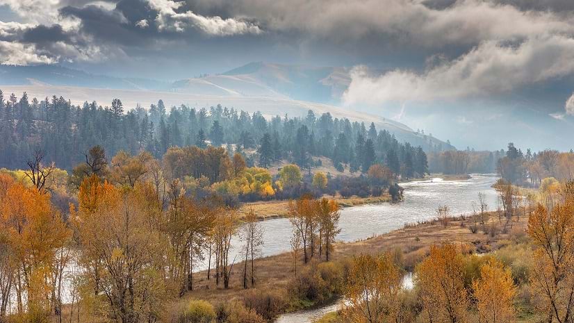
An innovative study used GIS technologies to track where wildlife were crossing roads.
Make an empty feature layer, define fields, and use the Map Viewer editing tools to add features.
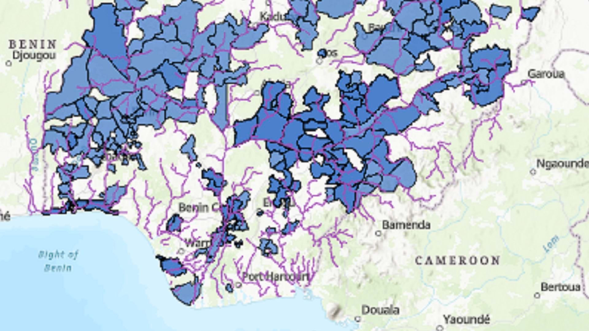
Esri partner GCS created an ArcGIS Online application that would assist in assessing, comparing, and prioritizing conservation efforts.
Read an overview of ArcGIS Online improvements and new capabilities, with links to additional details.
GIS technology helped power a swift response to a bridge collapse.
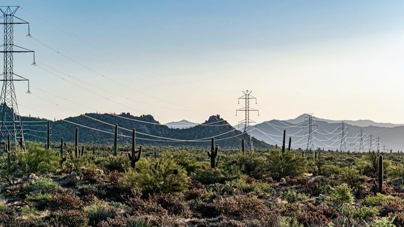
Drones and a shared mapping solution are helping guide the largest wind energy project in the Western Hemisphere.
In this tip, learn how to test your ArcGIS StoryMaps story’s sharing permissions to ensure it will work when you post it online.
Louisiana high school students are using GIS to develop environmental literacy and skills in research and communication.