To the Sea, Safely
Sea Turtle Patrol Hilton Head Island is on a mission to save sea turtle nests and hatchlings. The group uses GIS and GNSS technology to do this.
Sea Turtle Patrol Hilton Head Island is on a mission to save sea turtle nests and hatchlings. The group uses GIS and GNSS technology to do this.
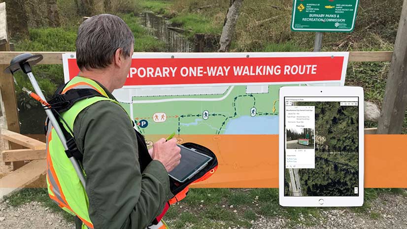
A Canadian city used ArcGIS and GNSS receivers from Eos Positioning Systems, Inc., to map social distancing signs in parks and on trails.
Sidelined from regular duties due to the COVID 19 pandemic, a group of city of Sarasota employees took part in an innovative GIS project.