Calling all champions of GIS! The celebration that you’ve been waiting for all year—GIS Day—will officially be held November 14, 2018. This gives you less than one month to plan for the event you will attend or to arrange a program or presentation of your own.
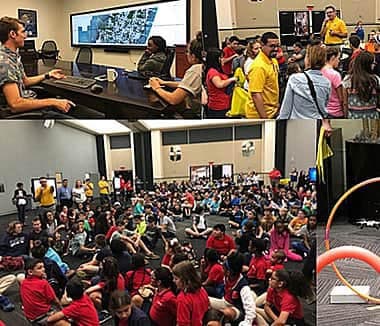
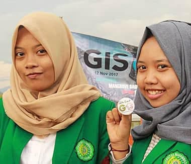
GIS Day provides an international forum for GIS users to demonstrate real-world applications that are making a difference in our society. Plus, it’s a day for many of you to celebrate your profession and show colleagues, community members, and even friends and family members what you do.
For GIS Day, you could hold an open house, give a presentation, or conduct a workshop. You could, for example, demonstrate how to use ArcGIS Pro or how to author an Esri Story Maps app. Or you could get super creative. For example, a high school geography teacher in the United Kingdom once hosted Ashcloud Apocalypse, a challenge that gave students the opportunity to map the risks to their communities during a hypothetical volcanic eruption.
Your event can be open to your organization alone, to the public, or to a specific audience. You can host it on November 14 or another date that better meets your needs. Choosing another date is perfectly fine, as explained in this video.

How are some organizations around the world celebrating this year? Take a look:
- Esri chief scientist Dawn Wright will give the annual Borchert Lecture at the 2018 Spatial Forum on November 14 at the University of Minnesota, Minneapolis. Entitled “Swells, Soundings, and Sustainability in the Ocean,” the talk will focus on how the ocean has been mapped from ancient times to today and how modern mapping systems are becoming increasingly intelligent. The lecture was named for the late John Borchert, a University of Minnesota regents professor in geography and a member of the National Academy of Sciences. Hosted by the university’s Master of Geographic Information Science (MGIS) program, Geography Environment and Society Department, and U-Spatial, the event is open to the public. Lightning Talks will also be included.
- The County of Los Angeles will present its eleventh annual GIS Day program—billed as the largest on the West Coast—on November 14. Attendees will learn how county and city agencies use GIS for decision-making. The event will include a map gallery, lectures, demonstrations, and games, all designed to showcase how GIS is being used in government.
- The Eastern Municipal Water District in Perris, California, will host a GIS Day exposition on November 13. Staff will demonstrate how they’ve used GIS technology to tackle various issues.

- The Montana Association of Geographic Information Professionals (MAGIP) will host the 2018 MAGIP GIS Day Web Map Contest on November 13 in Helena, Montana. Also, MAGIP organizers say they will host meetups throughout Montana to promote GIS.
- The University of New Mexico’s Student Association of Geography and Environmental Studies (SAGES) will host an interactive geographic information science (GIScience) forum that includes lectures and demonstrations at the university in Albuquerque on November 13.
- The School of Ocean Technology will present a program on ocean mapping and marine GIS at the Fisheries and Marine Institute of Memorial University of Newfoundland in Canada on November 14.
- The Geomatics Engineering Society (GES) at Kathmandu University in Nepal will host talks, panel discussions, and a project showcase by university students on November 13.
- Esri South Africa will give technology demonstrations—with an emphasis on how ArcGIS supports machine learning, artificial intelligence, and the Internet of Things (IOT)—at a GIS Day program in Johannesburg on November 14.
View a story map about GIS Day.
Want to let the GIS community and the public know about your event? Fill out a registration form and include the name, description, and time and date of your event. That information will be uploaded to the GIS Day website map.
After registering, please check the map and make sure your event appears in the correct location with the correct information. Location matters!


