The new ArcGIS Explorer Desktop 2012 release includes new features and enhancements that make it more powerful within an enterprise GIS.
You will find it easier to upload GIS content, including maps and layers, to ArcGIS Online and make it available to others. You can also use ArcGIS Explorer Desktop to make more interesting presentations and look at the tabular data underlying the information on your map. And starting with this release, no installation is needed to work with ArcGIS Explorer Desktop; it can run off an external USB-connected drive on any computer that meets system requirements.
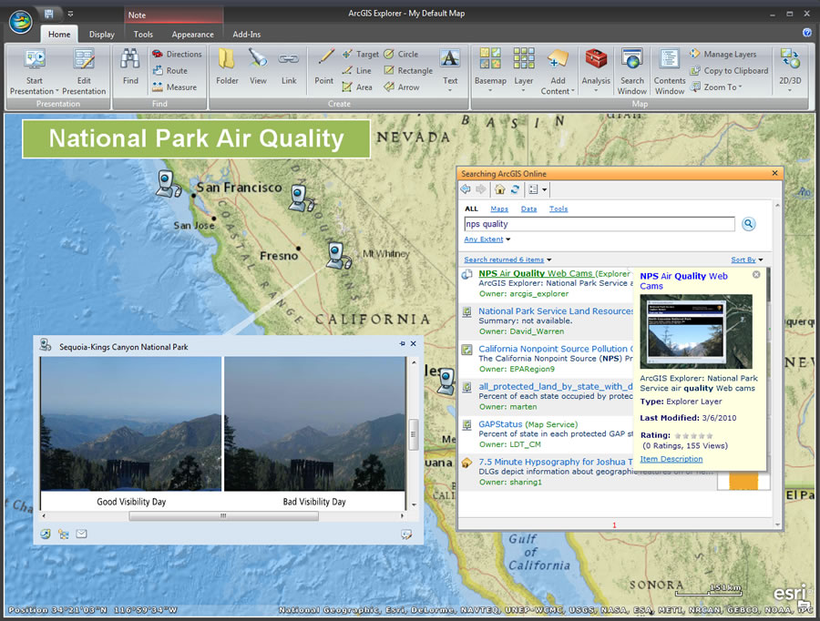
With the latest build of ArcGIS Explorer Desktop, it is also much simpler to search for content in ArcGIS Online. You can search shared content on ArcGIS Online, or using your ArcGIS Online login, you can look for private content in the groups or organizations that you belong to.

ArcGIS Explorer Desktop also includes a new tabular information display and presentation tool. Specifically, you can display attribute tables within a map. With a single click, you can view a table showing all the records for a selected feature layer. Tabular information can be written to a CSV file or added directly to the map.
The built-in presentation capabilities of ArcGIS Explorer Desktop have always been popular for communicating geographically. With this release, you have even more tools for creating engaging, interactive presentations. These include slide animations, timed transitions, audio sync, and presentation markup.
You will also now have the ability to control the size and position of pop-up windows. ArcGIS Explorer Desktop has full support for flying along KML routes (also known as KML tours). In addition, you can command ArcGIS Explorer Desktop to use your organization’s own geocoding and place-finding services.
