Esri users can confidently protect their internal proprietary data by keeping it local—on their organization’s network—with Data Appliance for ArcGIS. An on-premises GIS solution, Data Appliance scales with the Esri platform, granting secure access to global basemaps and reference layers that can be shared throughout the organization. This allows colleagues to safely create, publish, and share map services behind a firewall.
Various industries—from insurance and health-care companies to governments and utilities—need to access authoritative data securely while protecting that data within their internal databases. For organizations like these that rely on data confidentiality, Data Appliance alleviates the risk that their databases can be accessed externally or by unauthorized users, preempting fraudulence and data corruption.
During emergencies, Data Appliance can provide authoritative and secure data locally in a way that’s high performing and supports billions of transactions. Should a storm or wildfire threaten an organization’s Internet connection, the platform will continue to run, offering a trusted solution when it’s needed most.

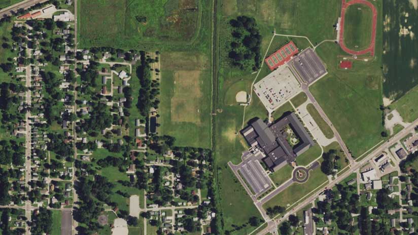
Data Appliance includes a rich suite of authoritative data that’s curated by Esri’s expert team of geographers. The on-premises offering has an annual release and contains precached basemap content similar in detail and coverage to Esri’s online basemaps.
The terabytes of rich, detailed data come from industry-leading data providers and can be used to enhance ArcGIS apps and services. This data is designed and optimized for publishing services using ArcGIS Enterprise. The data is delivered on a network attached storage (NAS) device by Esri partner Arxys, which provides hardware that’s designed to fit easily into an organization’s IT infrastructure by connecting directly to its existing network. The NAS connection on the private network allows organizations to quickly leverage the data to publish map tile services using ArcGIS Enterprise.
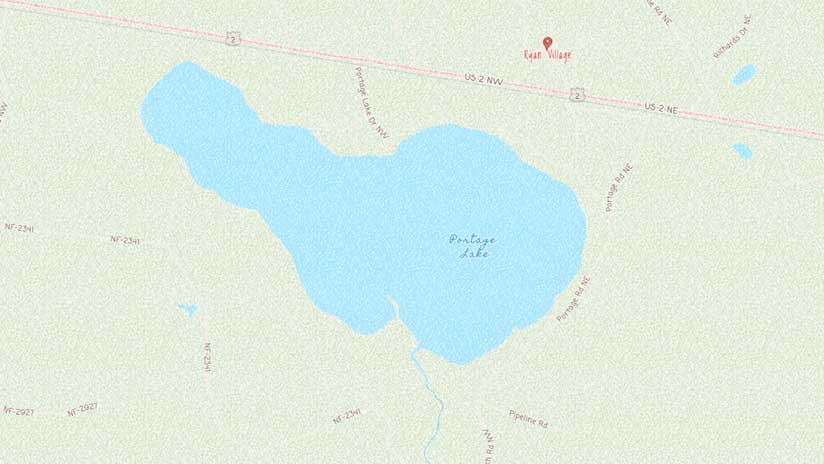
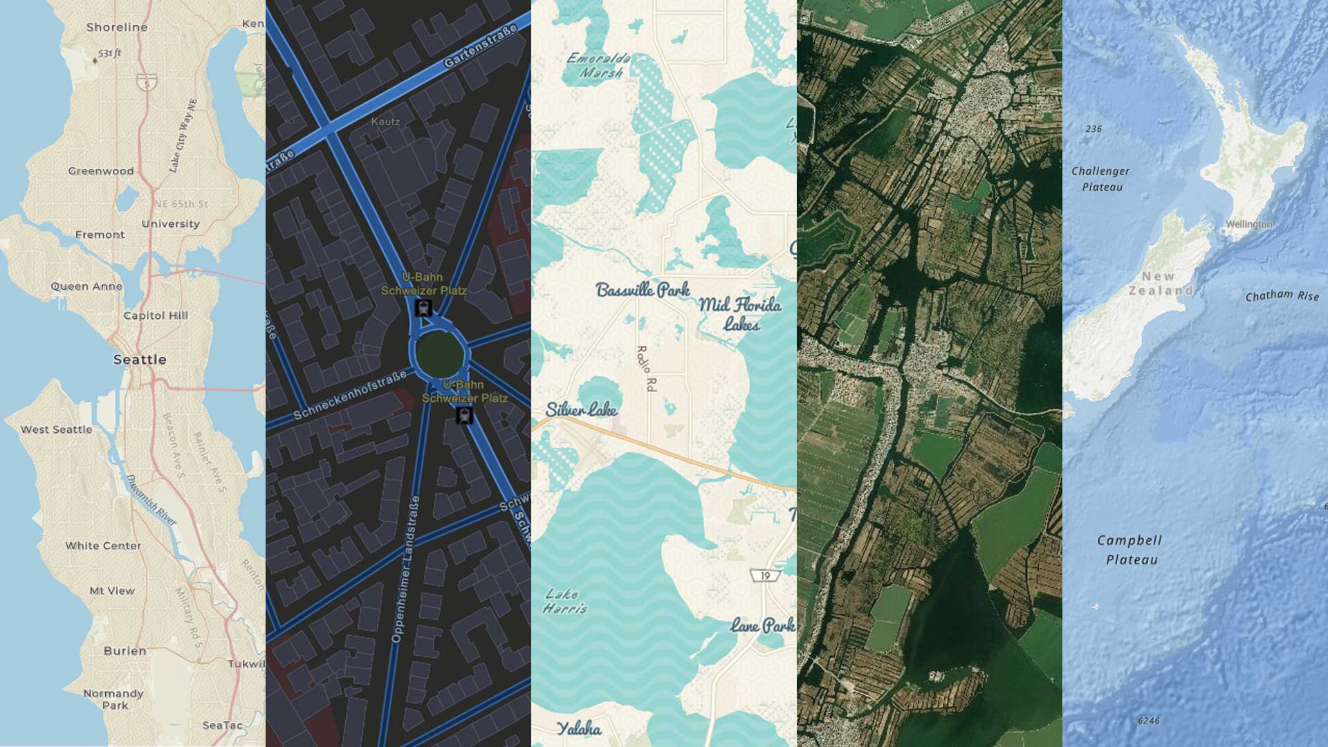
Once Data Appliance is deployed, organizations gain access to a profusion of ready-to-use global basemaps, imagery, elevation data, and more. The most recent release of Data Appliance offers Esri Vector Basemaps. They are available in a variety of styles and have a much smaller footprint than rasters. Users can scale vector basemaps to various sizes and style their maps as needed to support data visualization and analysis projects.

Key Benefits of Data Appliance
The main advantage of using Data Appliance is the increased efficiency that comes from being able to publish Esri basemap services without having to process the large and varied datasets. Other benefits include the following:
- Quick and easy publishing of large sets of global geographic data
- Prerendered and optimized maps and data for high-performance publishing
- The ability to deploy basemaps in a secure, private network or over the Internet
- Preloaded hardware for storing the basemap caches, so there is no need to copy terabytes of data to another machine
Data Solutions to Meet On-Premises Needs
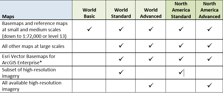
Each organization is unique, so Esri provides a variety of Data Appliance solutions to fit myriad needs.

Additional On-Premises Data Options
Having the right data solutions is critical for any organization that employs the ArcGIS platform. That’s why Esri offers additional on-premises data options, including StreetMap Premium for ArcGIS, World Geocoder for ArcGIS, and ArcGIS Business Analyst, along with Data Appliance.
StreetMap Premium for ArcGIS—With StreetMap Premium, users can do map visualization, geocoding, and routing on-premises. The ready-to-use geocoding and routing capabilities are the same ones that are in ArcGIS Online, but they’re available behind an organization’s firewall. Data is available for areas around the world, including North America, Latin America, Europe, the Middle East, Africa, and Asia Pacific.
ArcGIS World Geocoder—World Geocoder enables Esri users to securely map global addresses quickly and accurately behind a firewall. Enterprises can load addresses from around the world and put them on a map using a single locator.
ArcGIS Business Analyst Enterprise—Through desktop, web, and mobile apps, Business Analyst Enterprise provides location-based intelligence for market planning, site selection, and customer segmentation. Users can combine demographic, lifestyle, and spending data with map-based analytics for accurate reports and dynamic presentations.
Esri’s data team is available to answer questions and help users determine which data products fit their organization’s needs. Email dataapp@esri.com for more information on how to get started with working securely in a data deployment.

