The technology for applying the geographic approach—GIS—is expanding our world. That was the message delivered by Esri president Jack Dangermond in his address during the Plenary Session of the 2024 Esri User Conference.
“Geography organizes everything we know—all our experiences,” said Dangermond. “This magical word where is an extraordinary word because it connects all of humanity to all the science. The where is a powerful thing. It’s your bridge to everyone else on the planet. It helps us see the world in interconnected ways.”
Through its geospatial infrastructure, GIS is helping make those connections with data and analysis tools that are more accessible. It yields information that is available to more people and expands opportunities for collaboration and improves decision-making.
“Cloud-Based Approach Revolutionizes Interagency Data Sharing,” an article in this issue, amply demonstrates the benefits of a geospatial infrastructure. The US Forest Service, the US Fish and Wildlife Service, and the US Geological Survey (USGS), are participating in the first cross-agency geospatial data sharing service that makes the most current versions of more than a petabyte of aerial imagery and raster datasets available in a very cost-effective and scalable fashion.
Geospatially-derived information is more available than ever because GIS tools are more powerful and enabling. AI-enhancements to ArcGIS Pro assist users in finding the right tools and suggest workflows that produce useful information in an expedient timeframe. These enhancements help experienced users as well as those new to the technology.
With the ArcGIS Maps SDK for JavaScript, developers can employ tools and techniques that let web apps and the information they furnish reach a wider audience including persons with low or no vision. Basemap options, color schemes for symbolizing maps, and alternative text options enable techniques that support accessibility to maps and apps across the ArcGIS system.
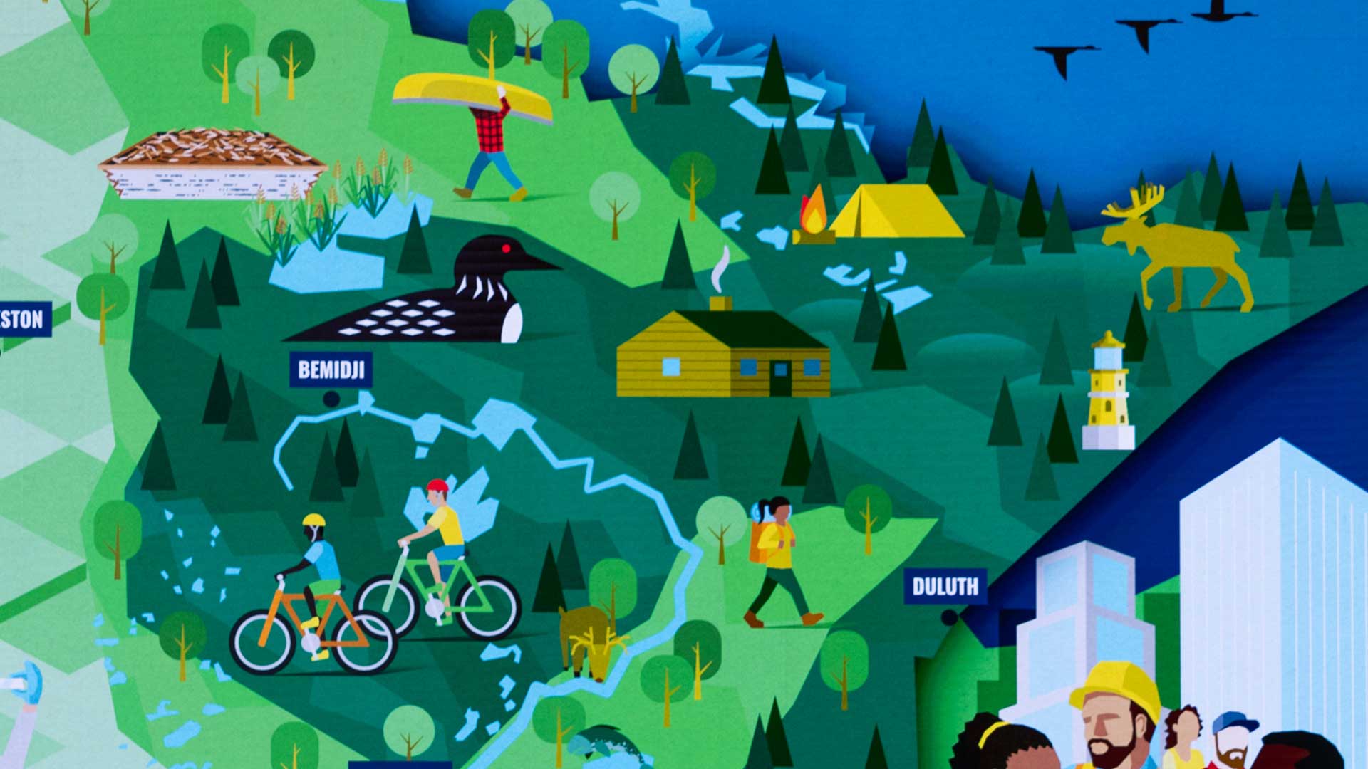
A holistic, GIS-based approach can help build a world that is environmentally, economically, and socially sustainable. This will require unity. And it won’t be easy. In the words of Minnesota governor Tim Walz, the first keynote speaker at this year’s Esri User Conference, “Uniting is much harder. Bringing people together is much harder. The tools of GIS and the science behind this and the tools to communicate really help unite people.”
About the author