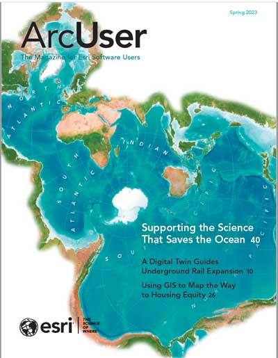
GIS for Science is a three-volume series published by Esri Press and written for professional scientists, citizen scientists, and anyone who is interested in science, geography, and conservation. The chapters in GIS for Science, Volume 1: Applying Mapping and Spatial Analytics; GIS for Science, Volume 2: Applying Mapping and Spatial Analytics; and GIS for Science, Volume 3: Maps for Saving the Planet show how the geographic approach and geospatial technologies are being applied to meeting the challenges of climate change, loss of biodiversity, natural disasters, and other pressing issues on both land and sea. The strategies presented can inspire applications and research across other disciplines.
A companion site, gisforscience.com, makes related data and other resources available. Each volume is linked to a technology showcase illustrating how advances in science can be leveraged to affect change in the world. Purchase print editions from Esri Press or other book sellers.


