Esri president Jack Dangermond greeted the audience for the Plenary Session of the 2023 Esri User Conference (Esri UC) with, “You’re just an amazing group of people.” The conference was held July 10–14 in San Diego, California.
Esri UC started 43 years ago as a meeting of just 11 of Esri software users. The reason for that first meeting and all subsequent ones has been the same: for users and Esri staff to get to know each other better. In the intervening years, the event has grown enormously. In 2023, Esri UC had more than 18,000 in-person and 10,000 virtual attendees from 130 countries. Over more than four decades, the conference has provided an opportunity for Esri’s users and staff to share, learn, celebrate, and grow closer as a community.
In his opening address, Dangermond highlighted a select group of maps from the thousands that were submitted by users for this year’s conference. Reviewing these submissions led Dangermond to conclude, “You are working on just about every issue we are facing.”
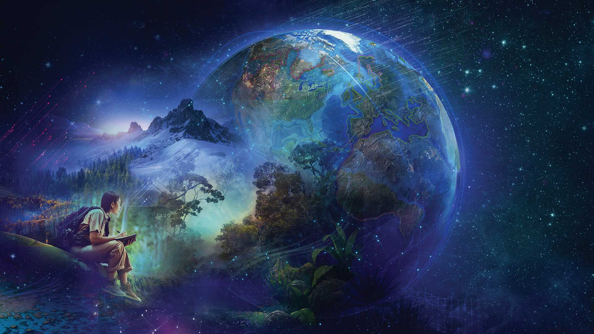
After this overview of the challenges that users are addressing with GIS, Dangermond moved on to this year’s conference theme, GIS—Creating the World You Want to See. He asked the audience to think of a few words or phrases that would describe the kind of world they wanted to see. Following a few minutes of silence, he shared phrases that captured his vision for the future: healthy, prosperous, equitable, peaceful, secure, sustainable, and in balance with nature.
He noted that achievements in science, technology, and culture have led to the overwhelming success of humans as a species and the exponential growth of the human population, which is threatening the viability of the planet.
“It’s my sense we are living a little recklessly…we’re living beyond our means,” said Dangermond. “This just simply isn’t sustainable.” However, despite imminent threats to our future, he believes humans still have a choice and they can and will create a sustainable future.
“We’re going to have to take collective responsibility for imagining and designing and creating solutions and implementing them everywhere. We need to move quickly. There’s no time for fooling around,” he cautioned. Dangermond believes that GIS professionals “have and will have an enormous role to play in creating the future of our planet. You and your work are essential for creating a sustainable future.”
This is because sustainability starts with geography. The geographic approach is the key to holistically solving problems and is the foundation for positive action. GIS, the technology for implementing the geographic approach, is advancing rapidly. It is making information pervasively available and expanding the capability for action. The work of organizations using GIS is becoming interconnected into a geospatial infrastructure of distributed servers—a system of systems.
Dangermond supplied a few examples of organizations that are employing this approach to tackle ambitious programs. The United Nations is using a system of systems approach for managing the information needed to realize its Sustainable Development Goals (SDGs), which seek to protect the planet and improve the lives of its people. The US Geological Survey adopted this approach for conservation planning to achieve 30×30, the conservation goal of protecting 30 percent of the planet’s land and water by 2030. The International Geodesign Consortium relies on GIS for creating a global plan that is based on sustainability goals. GIS underpins the efforts of each of these organizations and is providing the tools to create a better future.
After acknowledging how the GIS profession is expanding and becoming more impactful, he observed, “Yet it’s still not enough. The challenges that I described are really a big bunch of challenges. On the other hand, I think you’re up to it.”
That deep belief in the ability and commitment of the GIS community is Dangermond’s thesis for this conference. GIS professionals will have an important role to play in creating a sustainable world.
“Creating the world that you want to see, I think, is going to require GIS, this geographic approach. And most importantly, it’s going to require you going all in, doing the work, mobilizing, understanding, calling forth the best of you. This is going to be very important.”
Creating the world that you want to see, I think, is going to require GIS, this geographic approach.


