Although GIS started as a project system, it evolved into a system of record and then one of analytics and engagement to become the technology of where. It has become a geospatial infrastructure that informs entire organizations and allows them to collaborate.
This infrastructure has been making businesses more efficient and profitable, governments more responsive and effective, and nonprofits more successful. For decades, organizations have been using GIS to solve an increasing number of the most pressing problems their organizations face.
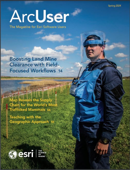
Articles in this issue highlight how organizations use GIS to cut through complexity, identify solutions, and take action. The HALO Trust, a humanitarian nongovernment organization, featured in this issue, is an example. It employs geospatial technology to fulfill its mission of safely clearing land mines and explosive ordnance. Millions of land mines remain in the ground years after conflicts have ended and continue maiming and killing civilians. Highly accurate maps of hazardous areas are essential to successful land mine removal.
Another article in this issue illustrates how understanding the where of a problem can be the key to understanding how to mitigate that problem. In this case, the problem is pangolin poaching. A new genomic-geospatial analysis approach for mapping where these endangered animals are trafficked is assisting in the global crackdown on the illegal trade in pangolins.
The application of GIS to the rebuilding of an entire country, described in an article in this issue, demonstrates how applying the geographic approach using GIS is a powerful way to respond to an emergency while helping create a more sustainable future. The Public Union Ukrainian Fund of Energy Efficiency and Energy Saving and Esri Ukraine are developing the ONOVA GIS HUB. Ukraine envisions GIS as the foundation for a renewed, stronger country.
GIS is a powerful technology that is reshaping how we deal with the world’s challenges. In the words of Esri president Jack Dangermond, GIS is “integrating science into the way people behave.”
About the author