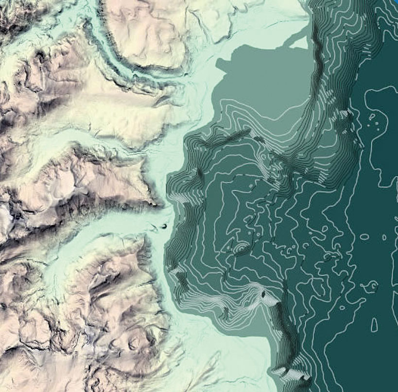
Learn to make maps that are not only beautiful to behold but effective information products by signing up for Cartography., a free six-week massive open online course (MOOC) offered by Esri.

A team of experienced cartographers, led by Ken Field, will explore the cartographic design capabilities of ArcGIS Pro while teaching students to appreciate both the art and the science. Each lesson consists of about two hours of content that includes video discussions, guided and self-guided exercises using ArcGIS Pro and ArcGIS Online, quizzes, interactions between students and instructors, and the use of supplemental resources. Coursework focuses on the creation of one exemplary map that draws together key cartographic ideas.
In addition to practical skills with ArcGIS Pro, students will learn how to think like a cartographer and gain an appreciation of the art and science of cartography. Students can explore graphics to gain an understanding of how generalization, symbology, and color affect the story a map tells. One lesson introduces typography, label styles and placement, and map composition to demonstrate how these elements help or hinder map communication. Another looks at how coordinate systems, transformations, and projects affect the map’s message. The two final lessons add the third and fourth dimensions to mapmaking: representing 3D and temporal data.
The first offering of this course, the fifth since the advent of Esri MOOCs in 2014, coincides with the release of Field’s new book, Cartography, being published by Esri Press. It joins the other Esri MOOCs—Going Places with Spatial Analysis, The Location Advantage, Do-It-Yourself Geo Apps, and Earth Imagery at Work—which have attracted more than 105,000 enrollments. The completion rate of 25 percent for Esri MOOCs is a rate much higher than that of other MOOC providers.

