ArcGIS Maps for Adobe Creative Cloud Gives Direct Access to Esri Content in Adobe Products
Extract the maximum value from your organization’s GIS by making maps and the results of geographic analyses available to larger audiences and enhancing collaboration and productivity across departments with Maps for Adobe Creative Cloud.
The role of maps for storytelling, infographics, data visualization, analytics, sales, and marketing is constantly expanding, but until now, taking GIS maps into Adobe design products to enhance and reuse them was a labor- and time-intensive process that could limit the currency of the final product. This new app connecting ArcGIS and Adobe takes the process from hours or days to minutes with a commensurate increase in data currency.
This new Esri app makes the most current data-driven maps and geographic content available seamlessly in the Adobe Photoshop and Illustrator Creative Cloud apps for use in design, marketing, and publishing projects.
When Maps for Adobe Creative Cloud users sign on to ArcGIS Online as anonymous users and as users of evaluation copies of the software, they can access all the public content hosted on ArcGIS Online. This means access to thousands of maps, as both vector and image layers; satellite images; and other geographically relevant data from around the world. ArcGIS content is compiled from commercial vendors, open data sources, and Esri user organizations and includes authoritative data from the ArcGIS Living Atlas of the World. If users are named users in ArcGIS Online, they can also access all an organization’s content.

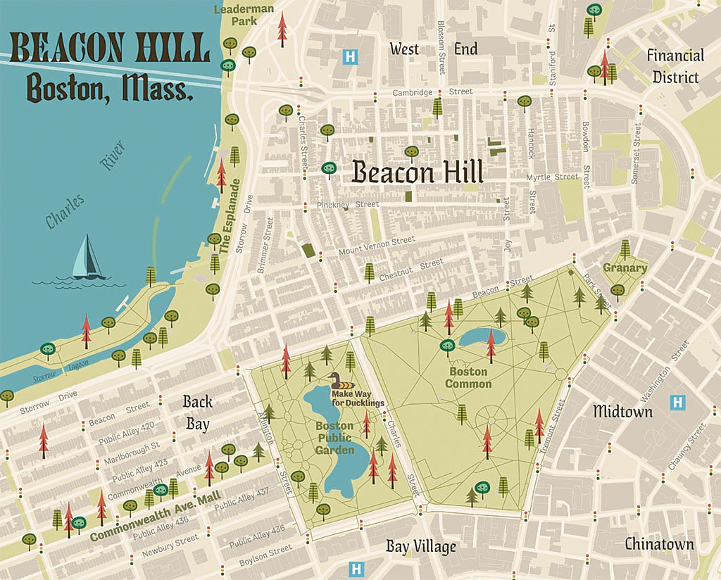
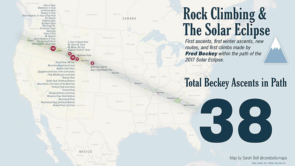
Cartographers benefit from working in Adobe and ArcGIS simultaneously. They can take work done in GIS and make more beautiful maps. The integration between ArcGIS and Adobe is seamless. For the first time, cartographers have the tools to keep content in ArcGIS but allow it to be shared with Adobe’s design apps. They can run spatial analyses in ArcGIS and access the results inside Adobe apps to create captivating maps. Map extents can be defined geographically or by using Adobe Photoshop and Illustrator preferences.
GIS users can share their map assets with the design department in formats familiar to designers and work with them easily. Designers can use maps and the results of GIS analyses to produce maps that reflect the style and branding of an organization while working with familiar Adobe tools. Cross-departmental collaboration saves time and effort and improves the quality of the final product.

This integration of ArcGIS and Adobe tools demonstrates the value of Esri’s continued commitment to interoperability by enhancing collaboration and productivity, saving both time and money. By making spatial information more directly and widely usable by the design and communications professionals, it helps increase the value of GIS information products.

