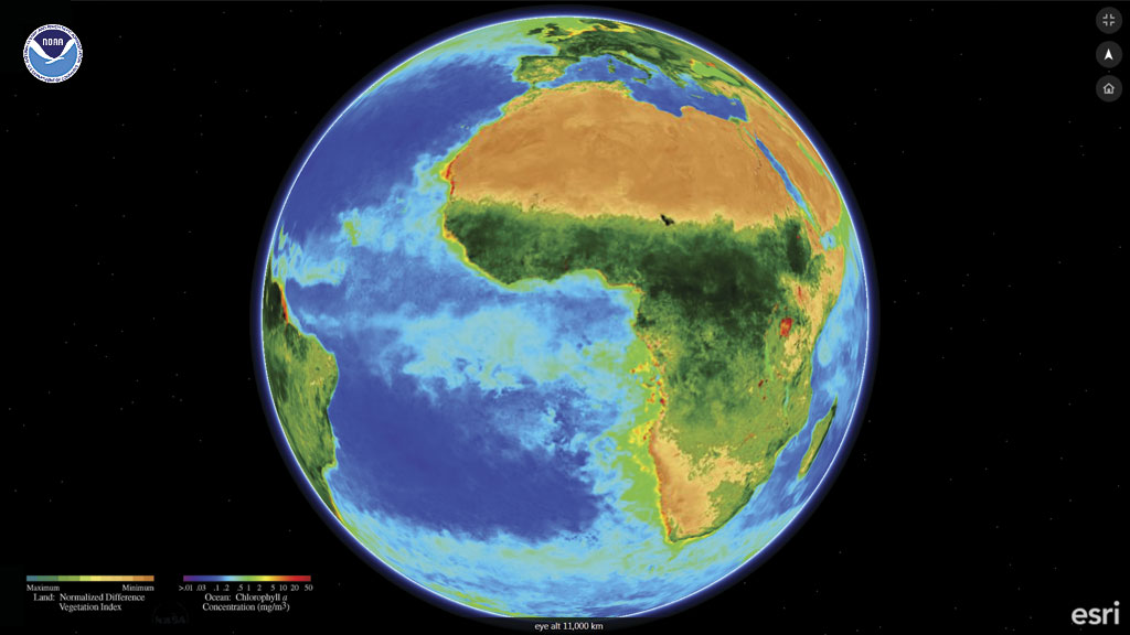
ArcGIS Earth is a free, interactive globe for easily exploring the world and working with 2D and 3D data including KML and ArcGIS services. This lightweight, easy-to-use 64-bit Windows app for desktop is fully integrated with the ArcGIS platform and works with data stored in ArcGIS for Server and on ArcGIS Online, allowing secure access, sharing, and publishing of enterprise maps and data.
ArcGIS Earth complements existing 3D capabilities on the ArcGIS platform. Those capabilities range from advanced 2D and 3D visualization, editing, analysis, and publishing in ArcGIS Pro to viewing and sharing location information in 3D using just the 3D Scene Viewer and a web browser. ArcGIS Earth is part of Esri’s offering for Google customers and partners looking to transition to Esri software. Along with other capabilities of the ArcGIS platform, ArcGIS Earth provides an alternative to Google Earth Enterprise Client. Developers with a Google Apps API key can implement Google Street View inside ArcGIS Earth by using a web service, calling a Google Street View in KML, and pointing ArcGIS Earth to that service to display Google Street Views.
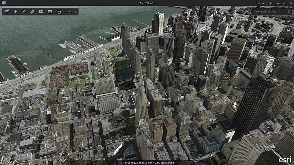
It has strong support for KML workflows. Add KML and KMZ data, including georeferenced COLLADA files, KML files with network links, and the KML data containing features and imagery that is available from government websites. You can access map data that has been shared as a file or as a link.
ArcGIS Earth can use publicly shared feature, scene, map, and image services through a URL or by browsing and discovering services in an instance of Portal for ArcGIS or in ArcGIS Online. Combine file and services data with publicly shared basemaps from ArcGIS Online, including global imagery, topographic maps, world ocean maps, and OpenStreetMap. Access and display demographic, landscape, terrain, and transportation data from the Living Atlas of the World. Logging in to ArcGIS Online with a named user account will give you access to secured and privately shared data in Organizations and Groups and any premium content associated with the account.
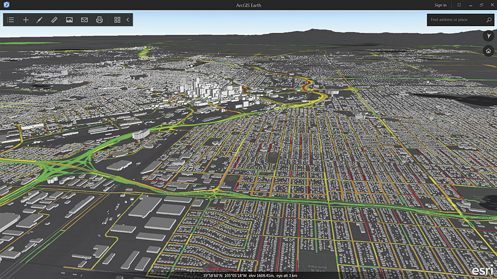
One of the main goals for ArcGIS Earth is to let you quickly share data and collaborate with other users. Functionality for capturing and emailing screen shots with a single click is built into the interface. You can double-click KML attachments in an email to open ArcGIS Earth and immediately visualize the KML data. Drag shapefiles from a shared network drive into the ArcGIS Earth view, and they will open and be added to the table of contents. The user interface has been intentionally minimized to maximize your view of the data.
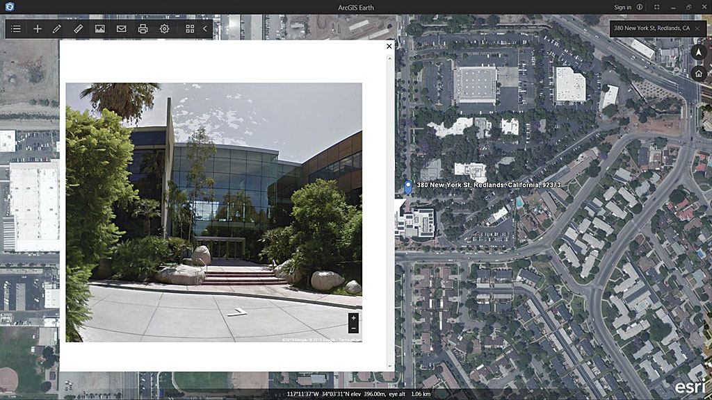
Users can interact with data quickly and easily to understand the full picture. Basic linear, radial, and segmented distance measurements can be made to understand elevation and measure distance and area. You can draw point, line, or polygon place marks and add annotations with easy-to-use tools.
Integrate 3D into your workflows by downloading and installing ArcGIS Earth for free from esri.com/earth. Future releases of ArcGIS Earth will add support for Web Map Service (WMS) time sliders, map tours, and offline use.

