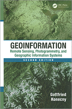
Geoinformation: Remote Sensing, Photogrammetry, and Geographic Information Systems, Second Edition
By Gottfried Konecny
Gottfried Konecny gives readers a comprehensive overview of the evolving field of geoinformation in Geoinformation: Remote Sensing, Photogrammetry, and Geographic Information Systems, Second Edition. This book recognizes the transformation of the discipline-oriented technologies of geodesy, surveying, photogrammetry, and cartography into the “methodology-oriented integrated discipline of geoinformation.”
In addition to providing fundamental information about how remote sensing, photogrammetry, and GIS work together, Konecny outlines the history of their development. He discusses the theoretical principles that underpin them. He furnishes extensive examples of how applications using remote sensing, photogrammetry, and GIS increase understanding of the world and improve decision making.
With nearly 70 years of experience in the field, Konecny is uniquely qualified to write this book. In 1945, he began working in surveying, photogrammetry, and mapping and is one of the leading authorities in the field of geoinformation. He is emeritus professor at Leibniz University of Hannover in Germany and the former president of the International Society of Photogrammetry and Remote Sensing. He holds honorary doctor of science degrees from the University of Tucman, Argentina; the University of New Brunswick, Canada; Anna University in Chennel, India; and MIIGAiK, Moscow, Russian Federation, as well as numerous awards and distinctions from universities and professional organizations around the world.
The second edition was updated to reflect technology advances in remote sensing, photogrammetry, and GIS that have occurred in the intervening 12 years since the publication of the first edition. The examples of the use of remote sensing in the study of meteorology and climatology, oceanography, environment, nonrenewable and renewable resources, and natural hazards are new with this edition. The GIS section has been greatly expanded also.
With its emphasis on the fundamentals of geospatial technology and its current applications, Geoinformation: Remote Sensing, Photogrammetry, and Geographic Information Systems, Second Edition, is an excellent resource for students and professionals involved in any area of geoinformation. CRC Press, 2014, 472 pp., ISBN: 978-1420068566

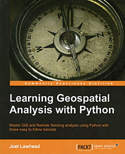
Learning Geospatial Analysis with Python (Community Experience Distilled)
By Joel Lawhead
This book is predicated on a Python-centric approach to the use of Python with GIS as one of the components of its focus on geospatial analysis. This hands-on guide to geospatial analysis assumes basic proficiency with Python. It teaches the reader how to use Python to construct applications as well as use it with GIS software packages including ArcGIS.
The author, Joel Lawhead, posits several reasons for performing geospatial tasks with Python. These include having complete control of the underlying algorithms, data, and execution; minimizing overhead when performing specific, repetitive analyses; creating programs that are easily shared; and—possibly the most compelling for GIS practioners—obtaining a more profound understanding of geospatial analysis. Of special interest are Chapter 4, which introduces Python libraries for working with geospatial data; Chapter 8 on advanced geospatial Python modeling; and Chapter 9 on using real-time data.
Lawhead has served as the lead architect, project manager, and codeveloper for geospatial applications used by government agencies such as the National Aeronautics and Space Administration (NASA) as well as commercial and nonprofit organizations. He received an Esri Special Achievment in GIS Award in 2002 for his work on the Real-time Emergency Action Coordination Technology (REACT). Lawhead, who began using Python in 1997, started combining it with geospatial software development in 2000. He maintains the geospatial technical blog GeospatialPython.com and Twitter feed @SpatialPython on using Python in the geospatial industry. Packt Publishing, 2013, 364 pp., ISBN-13: 978-1783281138

