Spatial Mathematics: Theory and Practice through Mapping
By Sandra Lach Arlinghaus and Joseph J. Kerski
The book‘s premise is that mapping can be used to teach mathematics, particularly the mathematics that underpin both mapping and GIS. The authors maintain that in a world that is not only increasingly analyzed but also uses maps to understand that analysis, this understanding is critical for better decision making. They also believe that GIS is an excellent method for teaching mathematical concepts and skills through visualizing numbers. A wealth of companion material can be accessed via QR codes in the text. The book has won praise for filling an important gap in geospatial literature and for its innovative approach to teaching mathematics. Sandra Lach Arlinghaus, a mathematical geographer who has published more than 300 articles and books, is currently adjunct professor of Mathematical Geography and Population-Environment Dynamics at the University of Michigan. Joseph J. Kerski holds three degrees in geography and served for 22 years as geographer and cartographer at the National Oceanic and Atmospheric Administration, the US Census Bureau, and the US Geological Survey before taking the position he currently holds as the education manager for Esri. In 2011, he was the president of the National Council for Geographic Education. CRC Press, 2013, 300 pp., ISBN: 978-1466505322

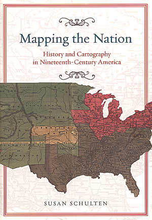
Mapping the Nation: History and Cartography in Nineteenth-Century America
By Susan Schulten
The ascendency of mapping as a means of visualizing data, examining problems, and proposing solutions may seem a relatively recent event. However, in her new book Mapping the Nation: History and Cartography in Nineteenth-Century America, Susan Schulten demonstrates that this approach to mapping has its roots in the 19th century, when a new way of thinking about maps emerged. Mapping became the means to make an argument rather than describe a place. These maps were thematic (although Schulten points out that all maps are in some sense thematic because cartographers suppress and enhance elements to communicate their message). Initially, historical maps and atlases helped create a national identity by conveying the country’s territorial growth and political development. Later maps, focused on the “distribution of phenomena rather than the landscape itself,” examined natural and social environments. In this context, they became powerful agents for change as well as the source of innovation. In particular, mapping slavery led to significant improvements in statistical mapping. The development of GIS in the 1960s has accelerated the use of maps for examining phenomena because it is designed to be just that—an analytical tool for visualizing data. University of Chicago Press, 2012, 272 pp., ISBN: 978-0226740683

