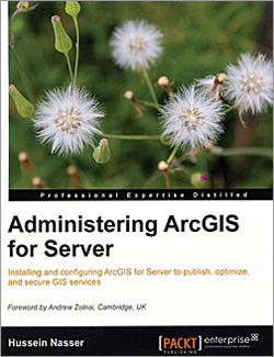
Administering ArcGIS for Server
By Hussein Nasser
GIS users, analysts, database administrators, and programmers who have a basic knowledge of ArcGIS can benefit from this book’s clear explanation of how to implement and optimize ArcGIS for Server. It covers installation; authoring web services; consuming, planning, designing, and optimizing GIS services; clustering and load balancing; and securing ArcGIS for Server. Administering ArcGIS for Serverprovides both step-by-step tutorials and explanations of the underlying technology. You will also learn how to plan, analyze, and publish and consume GIS services from various platforms including mobile and tablets. This information can help you design the implementation that will best meet your organization’s requirements and run efficiently and effectively. Packt Publishing, 2014, 246 pp.; ISBN: 978-1782177364

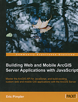
Building Web and Mobile ArcGIS Server Applications with JavaScript
By Eric Pimpler
Esri is encouraging the use of the ArcGIS API for JavaScript to build custom and out-of-the-box web and mobile applications. Building Web and Mobile ArcGIS Server Applications with JavaScript contains step-by-step exercises for developing these applications for ArcGIS for Server. Designed for beginner to intermediate web and mobile developers who want to create fully functional applications, it does not presume knowledge of GIS but provides information on GIS in the context of implementing geographic functionality such as mapping, spatial and attribute queries, identification of features, finding features by attribute, geocoding, and geoprocessing tasks. Adding toolbars and user interface widgets and integration with ArcGIS Online are also covered. Packt Publishing, 2014, 248 pp., ISBN: 978-1849697965

Springer Handbook of Geographic Information
Edited by Wolfgang Kresse and David M. Danko
This comprehensive reference is divided into three sections: Basics and Computer Science, Geographic Information, and Applications. Geographic information cuts across a vast array of subject areas by supporting their spatial components. However, this inherent diversity is often overlooked. This massive handbook addresses that oversight by including not only standard subject areas, such as cartography and geodesy, but also Internet mapping and specialized applications based on geographic information for agriculture and health. Consisting of contributions by 56 authors, the Springer Handbook of Geographic Information is more like a collection of textbooks that summarize a broad collection of subject areas. It contains 600 illustrations, extensive references, and a list of the terms and definitions of the ISO 19100 Standards. Springer, 2012, 1,100 pp., ISBN 978-3-540-72680-7

