The world’s population is on track to spike by more than two billion people over the next 30 years, placing more stress on the planet and its resources.
It’s crunch time for geodesign.
That was Esri president Jack Dangermond’s message to attendees of the Geodesign Summit held January 23–25, 2018, at the Esri campus in Redlands, California. Dangermond drove home the event’s theme, Resilient by Design, saying that our planet is on the precipice of change that—if unaddressed—will negatively affect the environment, biodiversity, infrastructure, and people’s well-being. That’s why it’s imperative that design professionals work toward creating more resilient, livable communities using geodesign techniques and technologies.
“Things are not going in the right direction on so many levels,” Dangermond told an audience that included urban planners, landscape architects, and GIS professionals. “We need better design, wouldn’t you agree? We need to not only do better design, we [also] need to integrate our best knowledge and science into it.”
Geodesign uses stakeholder input, creative design techniques, rigorous methodologies, and spatial analysis and mapping to find the most suitable, environmentally friendly, and sustainable options for how to use space.
BIM and GIS—Better Together
Human ingenuity has already led to the era of digital transformation that’s currently changing how organizations—including those that use GIS technology—do business. Cloud computing, big data, the Internet of Things (IoT), artificial intelligence (AI), machine learning, and Web GIS are in the mix, along with a strategic vision on how to bring everything together to achieve a mission.
“Integrating geodesign into everything we build requires well-thought-out technologies that work and help people,” Dangermond said.
Bringing GIS and building information modeling (BIM) software—often each an island unto itself—much closer together would help the architecture, engineering, and construction (AEC) industry. That’s why buzz is building over plans to integrate BIM and GIS data and workflows.
Late last year, Esri and Autodesk announced a strategic partnership to better connect the BIM and GIS platforms, with the aim of giving AEC professionals the ability to create better, more efficient, and sustainable designs, especially in 3D. Autodesk develops software for the AEC community, such as Revit and AutoCAD Civil 3D, which are used by architects and engineers to design real-world assets according to BIM patterns and practices.
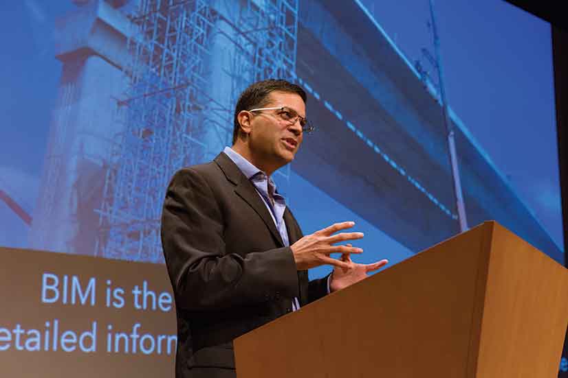
“Based on demand from users and partners, we know there’s a tremendous demand for GIS and BIM interoperability,” said Chris Andrews, 3D product manager for Esri. (See the accompanying article by Andrews, “GIS and BIM Integration Leads to Smart Communities.”)
BIM users can work with GIS data, and GIS users can work with BIM data now, but the process was described by Autodesk’s Theo Agelopoulos as “painful.” He says that will change.
“A majority of our customers are architects, engineers, and contractors, and they are designing buildings and infrastructure such as roads, airports, dams, and plants. The assets they are building have geospatial context—they exist somewhere in the real world,” said Agelopoulos, director of infrastructure strategy and marketing at Autodesk. “Creating a more seamless connection between BIM and GIS would allow those customers to do a better job designing and building.”
For example, when designing a bridge, having the context for the surrounding terrain from the GIS data would help ensure that the bridge is going to be built in the best location, Agelopoulos said. Initiatives such as integrating BIM and GIS will “produce a better context model earlier on in the design process to enable a smarter and more optimized design,” he said. “We want to better consume Esri’s data to provide that project insight to help engineers do more [and] better with less.”
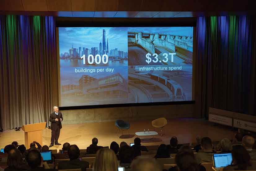
“BIM and GIS have to work hand in hand,” Wacta said, following a presentation she gave at the Geodesign Summit. “Those two tools should be together because they are not competing.”
Wacta said that she has advocated for using GIS in her architecture classes and has taught her students to use Esri CityEngine to create 3D models from 2D GIS data. Her students have used both Esri and Autodesk software in their architecture courses. Models created with Esri CityEngine give architects and urban planners a realistic view of their projects, helping them see where a building that is proposed might cast shadows, reflect heat, or even block views for nearby residents.

Having GIS data available in software for BIM would help in site analysis, Wacta said. “In architecture, we do all the things that GIS does. We do site analysis, but we do it with our ears and our eyes and our feelings,” she said. “GIS makes you work smart and not hard. With BIM, we work too hard. I send the students to go trace buildings when the building footprints are already [available]. It’s [often on] the city’s website, and it’s free. Why don’t we make the students’ lives easier so they can spend more time on design rather than busywork?”
Geodesign That Improves Urban Planning—and People’s Lives
The summit delved into many aspects of geodesign and supporting technology and content. Geodesign benefits from communities’ having access to data and apps that they can use to develop green infrastructure plans.
Making people’s lives better is a goal for The Trust for Public Land. (TPL) “Our mission is [conserving] land for people,” said Breece Robertson, the director of planning and GIS for the national conservation organization, which was founded in 1972. “We create parks and protect lands for healthy communities for generations to come.”

One TPL program, Climate-Smart Cities, aims to create green infrastructure to help reduce the impact of climate change. One of the program’s projects is Green Alleys. TPL reports that there are 900 miles of alleys in Los Angeles. The Green Alleys project transforms uninviting, concrete alleys into safe, green, community spaces. Working with a decision support tool that uses ArcGIS technology—and factoring in other information and community input—TPL identifies areas that would benefit from green alleys.
Not only are the alleys cleaned and spruced up with greenery, but the impervious surfaces are also removed and replaced with pavement that reflects light and is more permeable. This helps to keep the alleys cooler and reduce the runoff of water into storm drains.
Green alleys can serve as a type of park, said Fred Gifford, TPL’s GIS director. “As Breece is saying, these areas are all built up. There are not a lot of options except for tearing down houses to put in parks,” he said. “Alleys are one underutilized piece [of property].”
One of the Green Alleys pilot projects was in the Avalon neighborhood of Los Angeles. “This area needed connectors for walking and biking and commuting,” Robertson said. “But mostly, we were thinking about green alleys as a way to activate social cohesion in these neighborhoods—to give people a place to gather [and] places [where] they could safely walk to the store.”
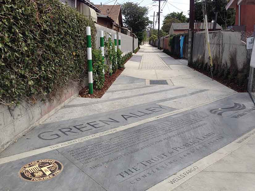
The Green Alleys project illustrates the Geodesign Summit’s focus on sharing ideas on applying The Science of Where—the science of geography and the technology of GIS—to make better design decisions.
“We aren’t talking about the better design of a road or a bridge or even a city,” Dangermond said. “It’s about the better design of all that we do. If we do it right, we can transform how our cities operate.”
Though the challenges seem daunting, Dangermond said he sees reasons for being optimistic. “We can make a huge impact on the way it turns out, because human ingenuity will kick in, and we will create a sustainable future,” he said.
Esri writer Matt Ball contributed to this article.


