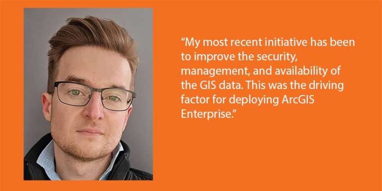
Although Kevin Hess is the sole GIS professional in the Facilities Management Information Systems Division, he creates maps and visualizations for other departments at Boston College including the communications, parking and transportation, and athletics departments, and the Office for Institutional Diversity. His previous employment and formal education prepared him with the skills and knowledge required for his current position administering Boston College’s GIS.

Before coming to Boston College, Hess worked as a GIS analyst for Union County, Pennsylvania, where he was a member of a small team. At the county, he edited data: parcel fabrics, road centerlines, addresses, and other local government features. His team also maintained the GIS for neighboring Snyder County. While the two-county area was larger, the GIS for Boston College’s campuses requires a higher level of detail, although much of the work is fairly similar. While with Union County, he worked directly with the public. In his current position, he interacts primarily with members of the Boston College community.
Hess obtained a bachelor’s degree in geoenvironmental science with a minor in GIS from Shippensburg University in Pennsylvania. His university coursework provided Hess with a strong foundation for his work at Boston College. His academic studies relating to his minor concentrated on GIS, geography, and remote sensing. He cites one of his professors at Shippensburg University, Dr. Scott Drzyzga, as instrumental in helping him gain a deep conceptual understanding of geospatial fundamentals and to think spatially.
“This not only inspired me and heavily guided my career path but also prepared me for my current position. While I have had learn [ArcGIS] Enterprise administration, I wouldn’t be where I am today without my degree work,” said Hess.


