Esri Launches Central Asia and Caucasus Geoportal
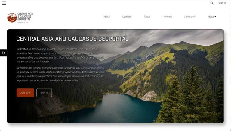
The Central Asia and Caucasus Geoportal (www.cacgeoportal.com/) was launched by Esri in May 2024. It is the region’s first free, collaborative GIS portal. It provides individuals with free access to data, GIS tools, and training resources. Users who sign up will be part of a collaborative platform that encourages innovation and advocacy for important causes in local and regional communities.

Many existing open-source and open data sites have been used to share data in the region but lacked the tools and necessary learning materials to fully engage with Esri’s GIS technology. The Central Asia and Caucasus Geoportal will help community groups in the region and Central Asia Geospatial LinkedIn groups better understand regional issues, such as climate change, natural resource utilization, population growth, and conservation, using the power of mapping and analytics. The geoportal provides access to industry-leading spatial analytics capabilities and authoritative data, enabling users to more effectively collaborate and make better-informed decisions.
Latest Land-Cover Map Updated with Sentinel-2 Satellite Data
Esri, in partnership with Impact Observatory, released an updated global land-use/land-cover map of the world based on the most up-to-date 10-meter Sentinel-2 satellite data. This new data is available from ArcGIS Living Atlas of the World. The Sentinel-2 10m Land Use/Land Cover Time Series update includes new data from 2023 and expands the series to include global coverage from 2017 to 2023. Annual Sentinel-2 updates provide governments, businesses, and scientists with the most current land-cover maps to inform policy and land management decisions. Year-over-year changes shown by land-cover maps help analysts and decision-makers better understand the impacts of earth processes and human activity on the environment. In 2023, Esri released the Sentinel-2 Land Cover Explorer, a dynamic, ready-to-use online application that allows anyone anywhere to easily observe change on these high-resolution global land-cover maps.

Armed Conflict Data Available in ArcGIS Living Atlas
Researchers, journalists, risk analysts, corporate security managers, and governments can access a global, real-time data and analysis source of political violence and demonstrations around the world through ArcGIS Living Atlas of the World. The source of this data and analysis is the Armed Conflict Location & Event Data Project (ACLED), a nonprofit that collects information on the dates, actors, locations, fatalities, and types of all reported political violence and protest events around the world. The nongovernmental organization provides disaggregated data collection, analysis, and crisis mapping. It furnishes the highest quality and most widely used source of reliable information on current disorder patterns.
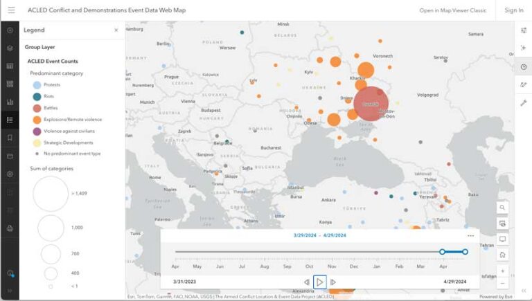
An aggregated ACLED data file is now available through ArcGIS Living Atlas of the World as a feature layer, a group layer of key indicators, and a web map with time configuration. The data is presented as counts by month for the past year, mapped to a centroid of the first administrative division (e.g., Province) as defined by ACLED. With these new resources, key conflict statistics can be visualized and analyzed over time to understand current global and regional patterns of conflict. While this aggregated data is available to all ArcGIS users via ArcGIS Living Atlas, fully disaggregated data (with some limitations) can be obtained by registering through the the ACLED website.


