Features in this update make it easier to manage your subscription, add analysis capabilities, improve ready-to-use apps, include more configurable templates, and enhance content.
Managing Users
Custom roles make it easier to manage the interaction of the people in your organization with ArcGIS Online. In addition to the roles previously available, new custom roles let you define the privileges assigned to people in your organization with greater specificity. In response to your requests, you can now give your users access to templates that can be used as starting points for making maps.
Better Analysis
New analysis tools added with this update include Derive New Locations and Find Similar Location tools. The Derive New Locations tool creates new features based on a query. The Find Similar Locations tool accesses the similarity of locations in a candidate search layer to one or more reference locations. Existing analysis tools can now use KML files as input. The Map Viewer now supports interactive geocode rematching so you can work with unmatched records and adjust matched records. It’s also easier to add multiple stops to routes.

Improved Ready-to-Use Apps
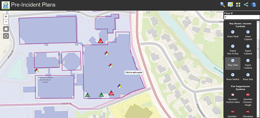
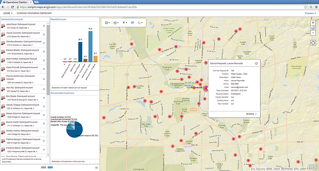
Significant changes were made to the ready-to-use apps that come with your ArcGIS Online subscription. One of the most requested for the Operations Dashboard for ArcGIS app was browser support that includes iOS and Android tablets so the app can run across platforms. You can use layers from dynamic map services as a data source and search for features by coordinates and place- names. New capabilities are provided for creating and managing selections and adjusting matched records. With the Collector for ArcGIS app, you can now download maps to a device and view, collect, and edit data offline as well as manage map content on the device and synchronize changes when connected.
WebApp Templates
One new template helps you tag, edit, and view geographic content. It automatically sets attribute values and filters content in a web map when it is viewed. The other new template can summarize the numeric attributes of features visible in a map extent for a specified operational layer.
Expanded Content
New Moderate-Resolution Imaging Spectroradiometer (MODIS) image services access the National Aeronautics and Space Administration (NASA) Global Imagery Browse Services and deliver global, full-resolution satellite imagery. The World Imagery map service was updated with DigitalGlobe imagery for select areas. Demographic and lifestyle maps now include new data for Germany, France, India, Japan, and Korea. Landscape analysis layers include 16 new global layers. A new base-map, Dark Gray Canvas, is in beta.
New Help Website
ArcGIS Online Help has been redesigned for usability and appeal. The new site is currently available only in English, but other languages will be added soon. Access it at doc.arcgis.com/en/arcgis-online/.

