More than 21,000 GIS professionals from more than 130 countries gathered in San Diego, California, for the 44th Esri User Conference (Esri UC). The world’s largest GIS conference was held July 15–19, 2024. It was four days of sharing, inspiring, connecting, and enjoying each other’s company. The event featured hundreds of presentations, specialized training, networking opportunities, and information on the latest developments and best practices in GIS.

In his Plenary Address on the conference’s theme, GIS—Uniting Our World, Esri president Jack Dangermond noted that the world is evolving rapidly—for better and worse—driven by human innovation.
However, the great progress humans have made as a species has come at a great cost to the planet—a cost that puts its sustainability in peril.
“We humans are living carelessly. As a species we are way over the line,” said Dangermond. “Everyone needs to understand and work together to meet these challenges and unite around the powerful science of geography.” Dangermond stressed that the situation is urgent, and the time to act is now.

However, humans possess a powerful tool: the geographic approach. “Geography organizes everything we know—all our experiences,” said Dangermond. “This magical word ‘where’ is an extraordinary word because it connects all of humanity to all the science. The where is a powerful thing. It’s your bridge to everyone else on the planet. It helps us see the world in interconnected ways.”
GIS is the technology that operationalizes geography by providing a framework and process for collecting, measuring, visualizing, and supporting decision-making. It is expanding the language of geography and enabling mapping that helps make the complexity of the world more understandable. The distributed architecture of modern GIS is creating a geospatial infrastructure that is being embraced by thousands of organizations and transforming the way they work together.
Even with the power of GIS, Dangermond noted that meeting challenges to the Earth will take everyone. GIS professionals have an enormous role to play in influencing the future of the planet. It will require curiosity and courage to create holistic solutions that will deliver a better tomorrow, even as the world faces many challenges today.
Dangermond cited a quote by Ralph Waldo Emerson: “Among the map makers of each generation are the risk takers, those who see the opportunities, seize the moment and expand man’s vision of the future.”
“Wow, he was talking about GIS people,” said Dangermond. “We as a group can do exactly what Emerson said—unite our world and create a better future.”
The theme of using GIS to unite efforts to create a better future for the world was also central to a special video message. Amina J. Mohammed, Deputy Secretary-General, addressed the GIS community. Over the past four decades, GIS had empowered agencies across the United Nations to fulfill their missions and support the achievement of the Sustainable Development Goals (SDGs). GIS professionals are working with UN staff to realize these goals.
“Geospatial information is not just a tool; it is a critical assets that helps us navigate the complexities of our world,” said Mohammed. “It empowers us to see beyond the horizon, to understand the intricacies of our planet, and respond with precision and purpose.”
After reviewing examples of the diverse and innovative application of GIS done by users in numerous organizations, Dangermond called attention to the 258 organizations receiving Special Achievement in GIS (SAG) Awards. These organizations were recognized for outstanding work in GIS.
In addition to the SAG Awards, each year three major awards—the Making a Difference Award, Enterprise GIS Award, and the President’s Award—are presented during the plenary. The National Geospatial-Intelligence Agency (NGA), the largest geospatial organization on the planet, received the Making a Difference Award for its exceptional use of GIS to create a better world. The NGA relies on GIS to provide the geospatial intelligence (GEOINT) services that support decisions by the US president and US national policymakers.
The agency also helps federal agencies such as the Department of State and the Federal Emergency Management Agency in responding to natural disasters and humanitarian crises. In accepting the award, Vice Admiral Frank Whitworth lauded the work of the GIS community, saying, “There is not a group of professionals on this planet doing more for this planet or doing more to unite this planet. That applies whether we are trying to save the world from bad weather or protect it from bad actors or both.“
The City of Raleigh, North Carolina, received the Enterprise GIS Award for its organization-wide embrace of GIS technology to improve efficiency and collaboration. The city used GIS to better access and consolidate department datasets and gain a more holistic, real-time view of city operations.
The President’s Award is personally chosen by Dangermond and given to an organization that uses data-driven decision-making to impact the world in a positive way. The United States Agency for International Development (USAID) GeoCenter was honored with this award in recognition of its work using GIS to improve development outcomes.
Accepting the award was Carrie Stokes, USAID chief geographer and GeoCenter director, who founded the center in 2011 and oversees the work of its 70 geospecialists. She noted that the mission of USAID is to save lives. The GeoCenter uses GIS to target where needs are the greatest. Stokes thanked Dangermond for “helping us learn to map a better world.”

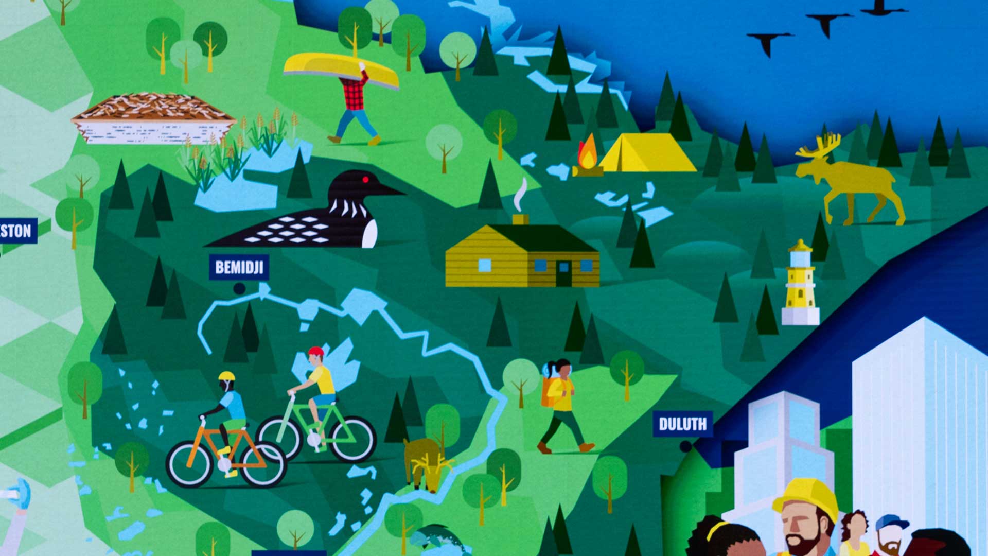
The two keynote speakers told how they use GIS to understand and improve the sustainability of our world from financial and environmental perspectives. Governor Tim Walz, the first keynote speaker, has used GIS to enable a data-driven approach to solving challenges in Minnesota and supporting higher living standards for its residents. This address is explored in detail in an accompanying article in this issue, “The World We Want.”

The second keynote speaker, Jeff Kerby, is an ecologist, photographer, and National Geographic Explorer who specializes in animals and plants in extreme environments from the Greenland to Ethiopia. Currently, he is a senior researcher at the Scott Polar Research Institute at the University of Cambridge.
He has used photography as part of his research on monkeys in Ethiopia to capture data on his subjects and the landscape. He now conducts research in Greenland to understand seasonality and the interactions of temperature, vegetation, and carbon stores and their effects on climate change. Recent advances in imagery and 3D visualization in GIS that transform historic photographs into 3D scenes help him understand and document these changes over time. His presentation concluded with a stunning 3D visualization of a trip through the fjords of northeast Greenland as they would have appeared in the 1930s.
Presentations by organizations from around the world demonstrated how they are using GIS to provide infrastructure for collaboration, cost savings, and the more efficient delivery of services.
Central San based in California, described how the ArcGIS Utility Network has improved its operations. Central San provides wastewater collection, treatment, and disposal services; recycled water production and distribution; and household hazardous waste collection for nearly half a million residents and more than 15,000 businesses in Contra Costa County, California.
Representatives of the Public Authority for Civil Information (PACI) explained how the agency has become the geospatial authority for Kuwait, using geospatial artificial intelligence (GeoAI) and reality mapping to produce authoritative data and develop apps and services to support the country’s four million people and its thriving economy.
[For more information on PACI’s innovative use of GIS, see “Machine Learning Becomes Part of Kuwait” (links.esri.com/PACI).]
Another national organization, the Urban Redevelopment Authority and National Parks Board of Singapore, depends on GIS for its operations. It is the foundation for an enterprise-focused system for planning and landscape management to realize Singpore’s goal of creating a “City in Nature” so that green space is easily accessible to all residents.
With an areal land extent of approximately 1,900 square miles, the government of Miami-Dade County in Florida has a big job delivering services to its more than 2.7 million residents. ArcGIS Enterprise serves as the mechanism for residents and 30,000 staff members to discover and access government resources. It is the framework for the “No Wrong Door” initiative that makes sure no matter at what point residents touch the government so that they seamlessly receive services. GIS also optimizes planning and maintenance of city infrastructure.
Representatives for The Crown Estate, United Kingdom, demonstrated how GIS enables its marine planning activities. The Crown Estate is an independent commercial business that manages the sovereign’s hereditary possessions with the goal of creating lasting and shared prosperity for the nation. To fulfill this mission, The Crown Estate uses GIS to identify and optimize how resources are managed in the seabed off England, Wales, and Northern Ireland. Through scenarios built using GIS, The Crown Estate works at balancing competing and complementary uses of this area, protecting nature while supporting a flourishing marine economy.
Marriott International uses GIS to assess and mitigate security risks and plan adaptation strategies to deal with severe weather events and climate change at its more than 9,000 properties in 139 countries. The company is developing climate adaptation strategies to safeguard its properties. Marriott global intelligence staff use the Atlas app to access tactical information on real-time global hazards.
John Gillham, project manager and contractor for the United States Forestry Service, described a new cross-agency geospatial data sharing service that efficiently delivers, manages, and analyzes of high-resolution aerial imagery and raster data for the Forest Service, the US Fish and Wildlife Service, and the US Geological Survey (USGS). The Interdepartmental Imagery Publication Platform (IIPP) overcomes long-standing problems with heavily siloed systems in the federal government by using ArcGIS Enterprise on Kubernetes and ArcGIS Online. The service already hosts more than a petabyte of data and it produces significant cost savings for all these agencies. For more on IIPP, see “Cloud-Based Approach Revolutionizes Interagency Imagery Data Sharing” in this issue.
In the days following the Plenary Session, conference attendees had a host of activities to choose from: more than 700 paper and technical presentations; Lightning Talks; special interest group meetings; a vendor expo; and activities such as yoga; run, kids’ fair, and the conference party.
