The community of Point Hope, Alaska, is using GIS to devise nature-based solutions to stem the loss of land through coastal erosion.
The community of Point Hope, Alaska, is using GIS to devise nature-based solutions to stem the loss of land through coastal erosion.
Using GIS to analyze the impact of a changing climate on the Mediterranean olive-growing industry is a crucial step in tackling the problem.
GIS is one of our best tools to confront challenges from indoor navigation to the changing climate.
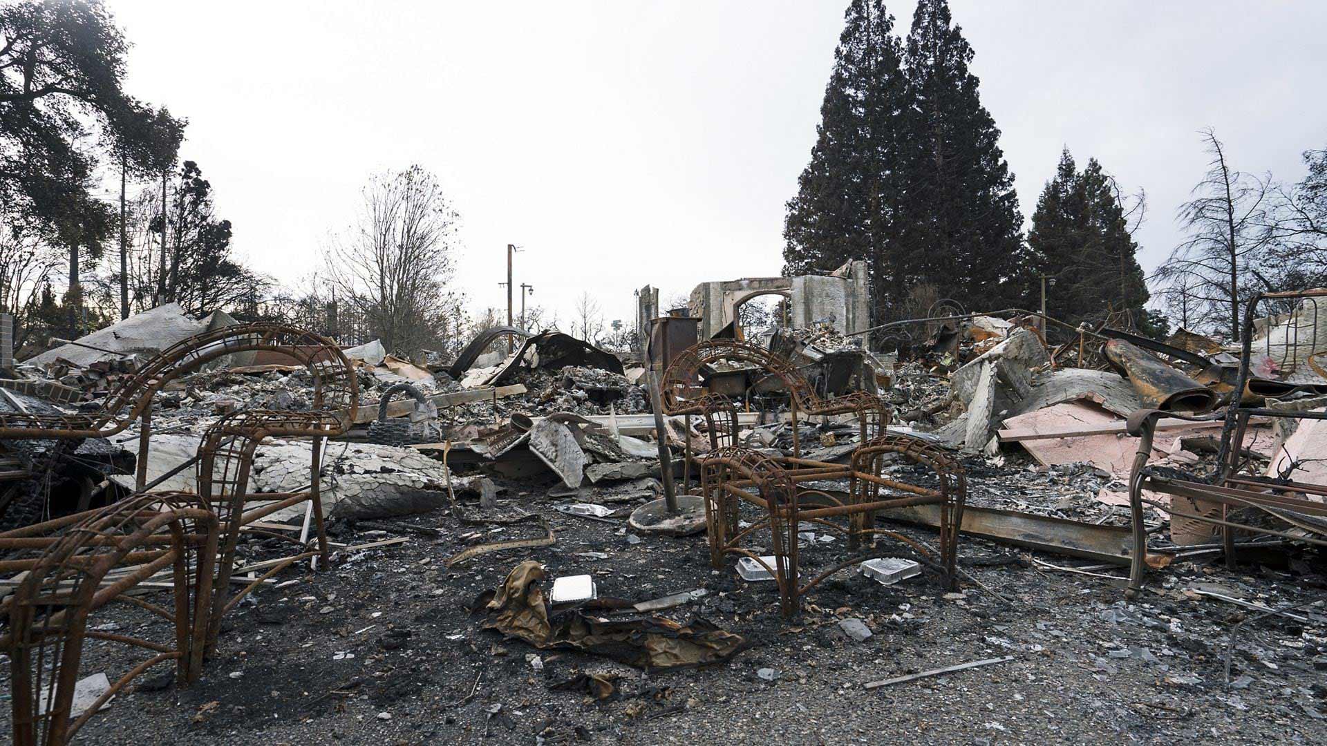
These GeoAI models available in ArcGIS Living Atlas of the World are designed for damage assessment during disaster events.
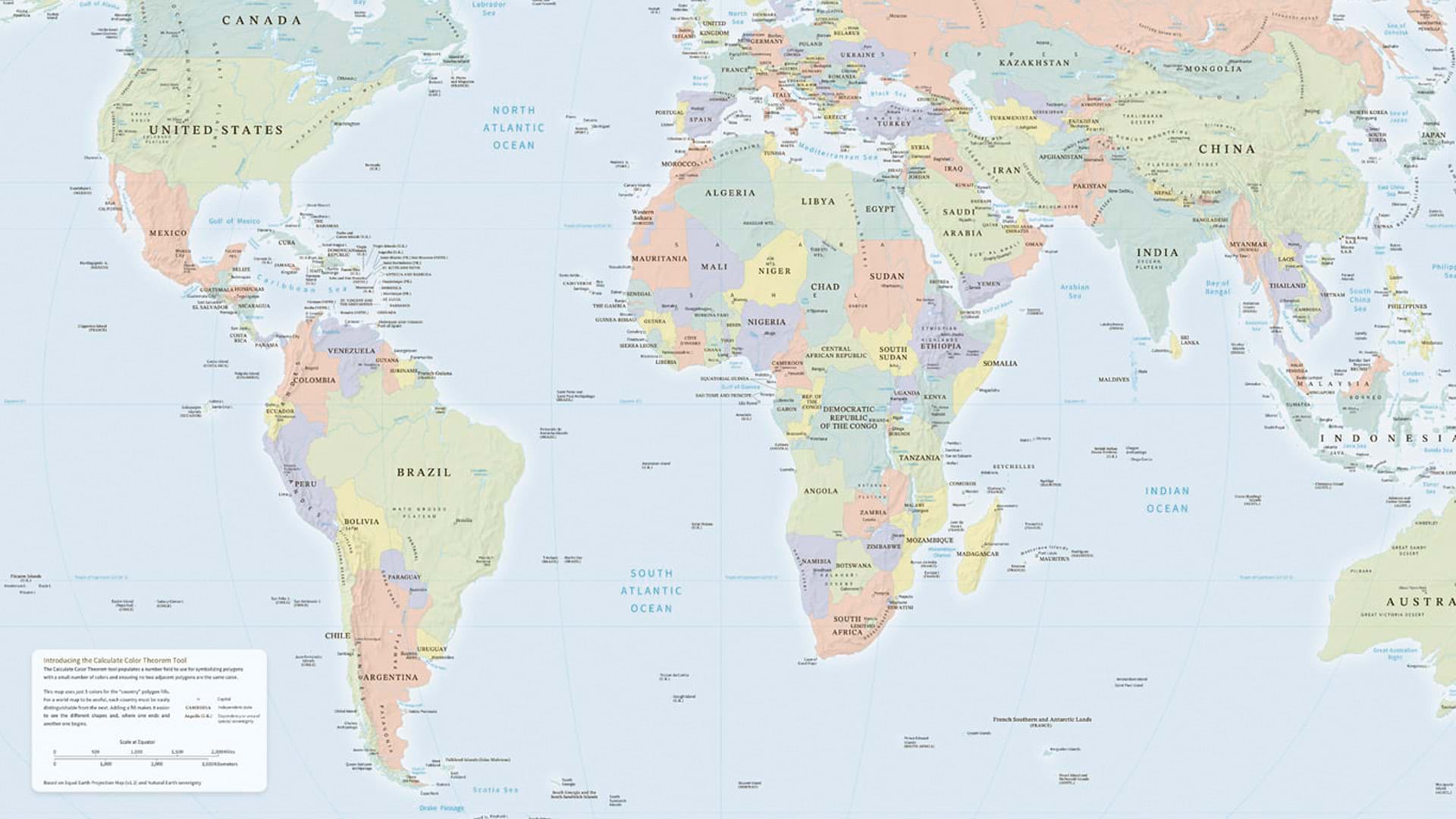
The Calculate Color Theorem Field tool in ArcGIS Pro helps you color polygons while ensuring adjacent polygons won’t have the same color.
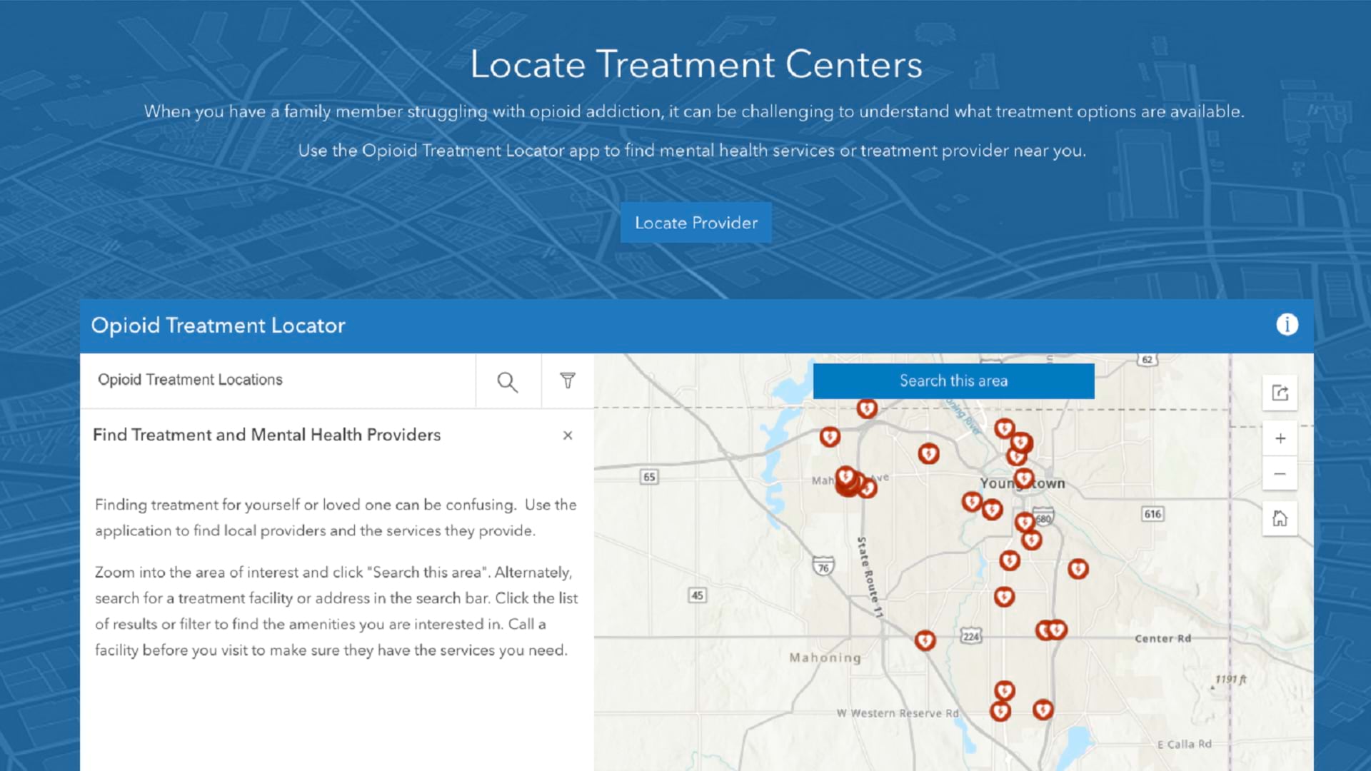
The Opioid Epidemic Outreach solution helps Mahoning County battle the opioid crisis and connect those affected with necessary resources.

By implementing ArcGIS Data Pipelines, KBC Advisors has saved time, enhanced efficiency, and improved data delivery.

Hurricane Helene offers yet another sign that the climate is changing, and we must plan appropriately for future climate-related disasters.
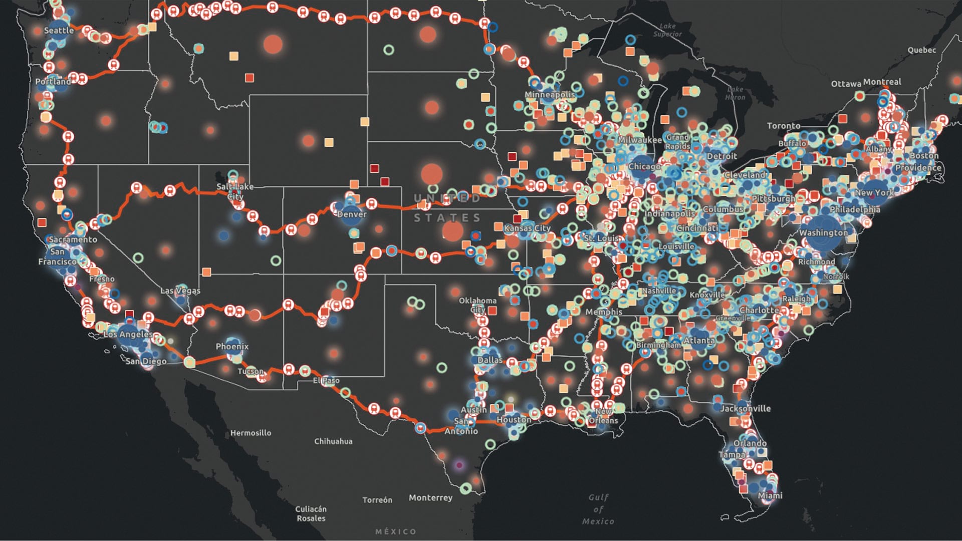
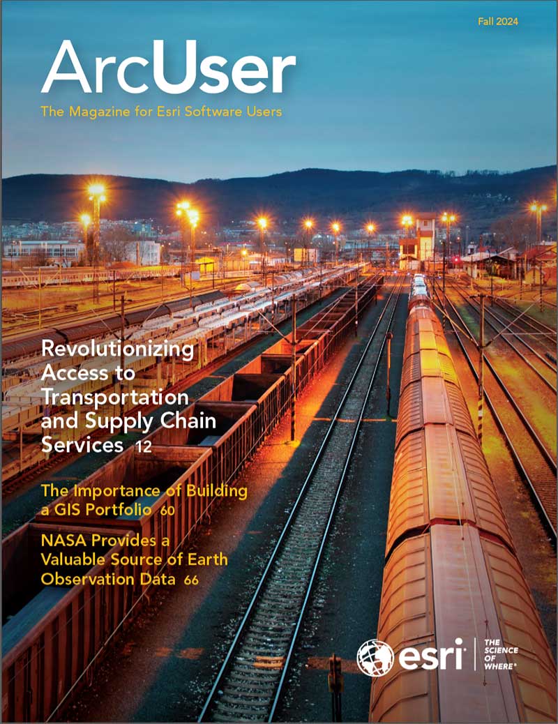
The American Public Transportation Association’s Industry Footprint app communicates vital information about public transportation projects.

The Oregon Department of Emergency Management is using ArcGIS Instant Apps to maintain a statewide system for emergency communications.

As technology and business landscapes evolve, so do our strategies. Here are some signs that your GIS strategy most likely needs an update.

The HMI is designed to reflect overall builder confidence in the housing market, and can be used to plan with geography in mind.

Check out the Path to Geospatial Excellence, an online resource that helps organizations implement a successful enterprise GIS environment.

There are plenty of ways to develop a web app. In ArcGIS, starting with a web map built in Map Viewer simplifies the process.

Honoring user preference for reduced motion is an important part of creating accessible web applications.
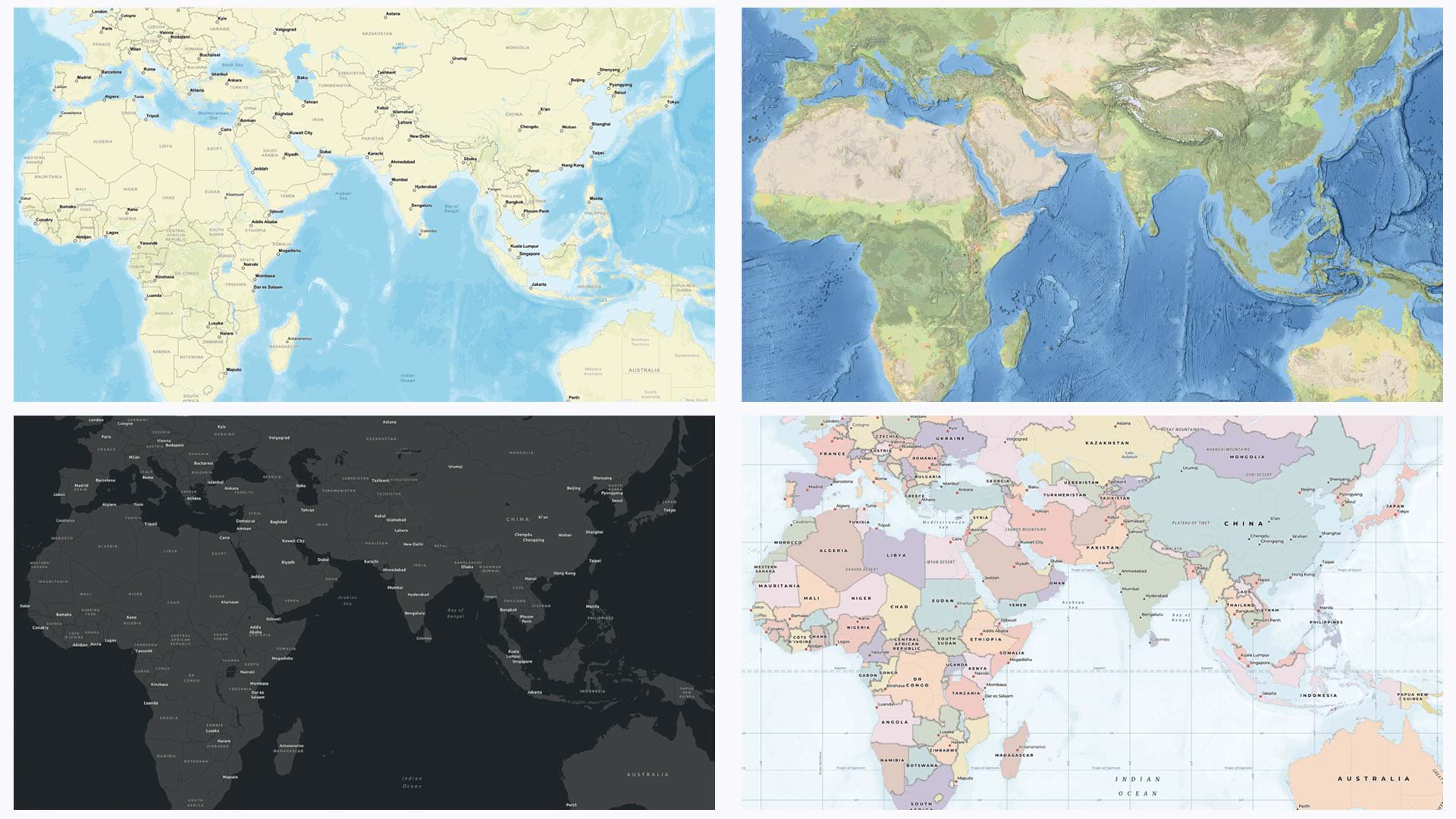
Learn how to use ArcGIS Vector Tile Style Editor to create a custom basemap for ArcGIS Business Analyst.
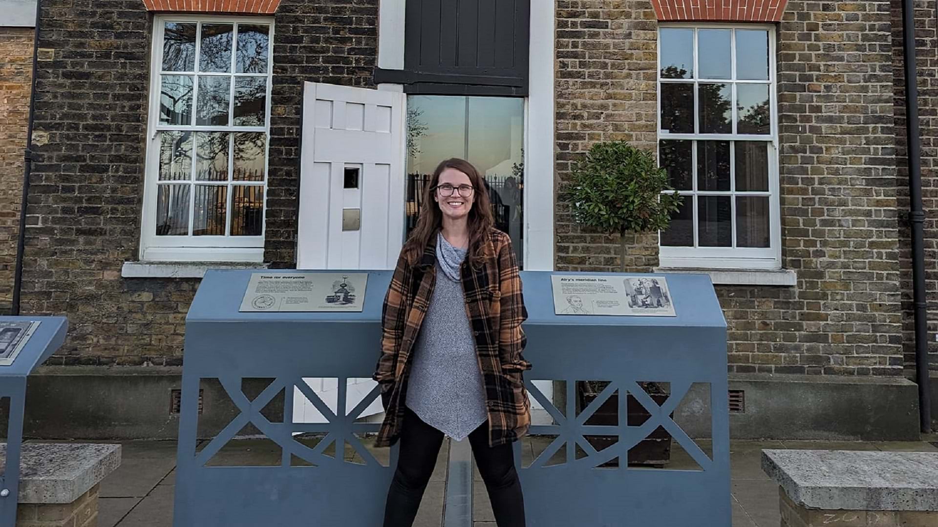
Catherine DuBreck, a change management consultant, shares how she built a career as a GIS professional.

A collaboration between the city of Oxford, Ohio and Miami University has brought GIS to the business of cemetery management.

With ArcGIS Indoors, Austin Community College has created an interactive wayfinding map to help students navigate campus.
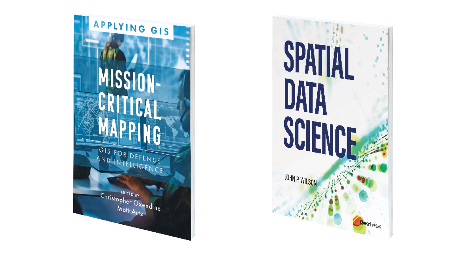
Mission-Critical Mapping: GIS for Defense and Intelligence and Spatial Data Science.

Geospatial Data Included in Autodesk Forma and New ACS Data Available in ArcGIS Living Atlas of the World.
