To help users keep innovating with ArcGIS Online, Esri is continually building in new features, tools, and capabilities. Take a look at some of the latest updates to this central component of the Esri Geospatial Cloud, including new filters, configurable apps, and security features.
Filter Content by Location
When searching for layers, users now have a new filter: location. With this filter, users can pick a place or region of interest and see only items for that location. The filter works by referencing map extents. To take advantage of this search functionality, item creators must specify extents for their items.
Two New Configurable Apps
Users can bring their own or publicly shared maps, layers, or apps together using the new Category Gallery configurable app. This app is an excellent way to organize items into categories and allow viewers to interact with them. The categories give viewers the flexibility to filter and find relevant items. For example, a hiking association could use this app to make its own maps more accessible. By categorizing its maps based on trail type, location, ease of use, and accessibility, the group would make it possible for people to quickly find the hiking maps that fit their interests.
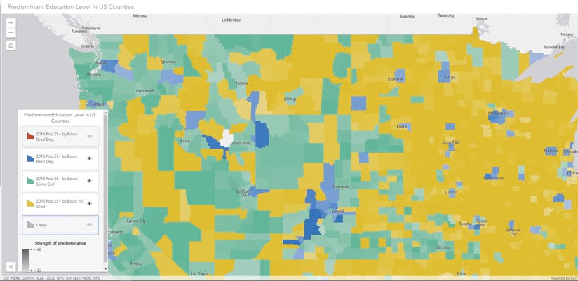
Another new configurable app, Interactive Legend, makes it easier for viewers to explore data by letting them turn layers on and off, as well as highlight and filter data, right in the map legend. If a city has a large, published dataset of crime types, for instance, it could employ the Interactive Legend app to let citizens explore which crimes have occurred in specific areas. A local resident could then search for his or her address, turn off all the crime types except burglary, and see how many burglaries have happened in the neighborhood.
Create Bins Based on Extent, Shape, and Size
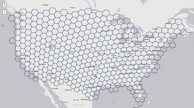
The Generate Tessellations tool allows users to create bins determined by a specified extent, shape, and size. A forester could use this tool to divide harvested areas into regularly shaped areas (bins) to understand the number of seedlings needed to effectively reforest the area. After using Generate Tessellations, the forester will have a dataset of appropriately sized bins for the complete project area.
The bins are generated in a custom, area-preserving projected coordinate system. The specified size dimension is used to ensure that the sizes are equal and appropriate for the area of interest. An equal-area projection and parameters are chosen based on the geographic extent. The result is projected either to Web Mercator or the projection of a custom basemap.
Build Out Features in ArcGIS Basemaps
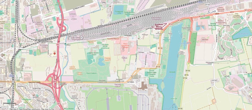
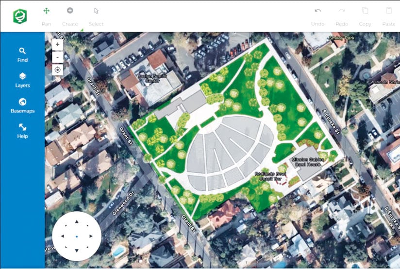
ArcGIS Online users now have a convenient way to improve ArcGIS basemaps. With the new Community Maps Editor app, they can build out detailed basemap features, such as buildings; trees; and facilities for school campuses, business parks, and recreation areas. The app includes powerful data creation and editing tools that let users clip and cut polygons, snap features to edges, and create features with straight and curved segments. Stencils are also included to make feature creation faster and easier. Watch an introduction video for this new app.
New Password Aids and Increased Security
ArcGIS Online helps users resist the urge to create simple passwords. A new password strength meter helps users and administrators assess and improve their passwords. ArcGIS Online also has more rigorous password requirements for new and updated accounts.
To maintain privacy and data integrity among apps that communicate over a network, ArcGIS Online uses Transport Layer Security (TLS), a widely accepted security protocol. There are three versions: 1.0, 1.1, and 1.2. To improve ArcGIS Online transport security and align with industry best practices for security and data integrity, ArcGIS Online no longer supports TLS versions 1.0 and 1.1. To learn more about TLS and security, privacy, and compliance, visit the ArcGIS Trust Center and see “ArcGIS Security Update May Require Immediate Action.”
Out of Beta: OpenStreetMap Vector Basemap
OpenStreetMap vector basemap, fully maintained and hosted by Esri, is no longer in beta. In organizations that have enabled vector basemaps, users can access it via the basemap gallery. Small areas of OpenStreetMap vector basemap can be exported for offline use.

