With ArcGIS Online, your organization consumes credits when you use certain services as part of a project or your daily work. Perhaps you have been wondering how many credits ArcGIS Online will use when you publish web maps, and people then interact with those web maps. To give you a better understanding, this article describes real-world examples that illustrate how easy and inexpensive it is to make and serve maps to the public.
Recently, global sports fans were able to view interactive maps for seven big European cycling events, including Paris Roubaix, Ronde van Vlaanderen, Milan San Remo, Brabantse Pijl, Amstel Gold Race, Waalse Pijl, and Luik Bastenaken. The Flemish Broadcasting Corporation channel Sporza worked with SIGGIS, a company based in Belgium that specializes in integration of GIS projects, to integrate storytelling maps in the Sporza website for each event. Cycling fans were able to get instant access to routes, major milestones along the routes, and videos and photos and interact with the information. It turned out to be a successful project—over a three-week period, the Sporza site received more than one million hits.

Sporza received a lot of positive feedback from the cycling fans and will continue to use ArcGIS Online to highlight events throughout the cycling season. Preparations for building storytelling maps for the Tour de France are already under way.
To take a look at the storytelling maps that were published for the seven big cycling events, go to arcgis.com/home and enter “Sporza” in the search box. On the results page, click Sporza Storymap or one of the individual races. Be sure that your search option is set to All Content.
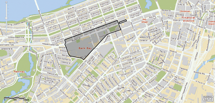
Just like for planned events, maps are now indispensable when disasters and emergencies occur. A vital communication tool for emergency response teams, ArcGIS maps are also used by the media to keep the public informed and convey the facts of an event. In April of this year, over the course of one week, ArcGIS Online was used to help when two major events occurred in the United States: the Boston Marathon bombing and the West Fertilizer explosion in Texas. Esri assisted local emergency response teams and news agencies (for example, FoxSports.com and the Dallas Morning News) with essential map services and provided stand-alone maps for public dissemination. In Boston, this included maps of the marathon route, points of interest, and the locations of the bomb explosion. In Texas, the emergency management agencies urgently needed a map that showed the location of such critical infrastructure as schools and hospitals in relation to the West Fertilizer plant. In both cases, Esri assisted in the early stages of the event when local resources were overwhelmed and time was of the essence.
At the end of 10 days, the maps associated with these two tragedies received a combined total of more than 500,000 views. The cost? Just 54 ArcGIS Online credits to meet the demand and enable interaction with these important maps. To see the maps and web mapping applications that were created, go to arcgis.com/home and enter “Boston Marathon” or “West, Texas” in the Search box.
These real-world examples show how ArcGIS Online can provide inexpensive, reliable, and fast ways to publish interactive maps. Whether it’s a sporting or other kind of event for which you can plan ahead or in response to a developing news story, you can create interactive maps in very little time and with very little effort—with data you already have. You can provide thousands, if not millions, of viewers with instant access to the latest information and for the cost of only a few credits.
Unlike other mapping services, you only get charged when you use specific ArcGIS Online functions, like generating map tiles, creating feature services, geocoding, or storing data in Esri’s cloud. And if you have ArcGIS for Desktop and/or ArcGIS for Server, you can alternatively use those to do some of the computational-intensive tasks. Running your analyses in ArcGIS for Desktop and then publishing the results as an ArcGIS for Server service doesn’t cost you any credits. The ArcGIS platform gives you expanded options that include hosting your maps in Esri’s cloud and providing access through ArcGIS Online, providing you with a cost-effective solution that gives you the flexibility you need.
For more information, visit arcgis.com.

