I began the winding path that has become a career, as a researcher in artificial intelligence. I was drawn to artificial intelligence by one of its central tenets: you can understand how the human mind works by trying to reproduce its behaviors in the form of a computer program.
I was musing about that recently as I found myself using what GIS software does while trying to explain to someone what I mean by “geographic reasoning.” As I’ve written before in this space, one of my biggest challenges as an advocate for improved geography education is explaining what geography is really about.

Since most people tend to associate geography with factual knowledge, I want to be able to broaden their understanding of geography by explaining geographic reasoning to them. However, I’ve struggled to find descriptions of geographic reasoning that are helpful when talking to people who haven’t studied geography.
What I’ve found are two kinds of descriptions of geographic reasoning. One characterizes geographic reasoning using terms and examples that only other geographers can understand. The other is frustratingly circular: geographic reasoning is what geographers do to understand the world; geographic reasoning consists of asking geographic questions, gathering and analyzing geographic information, and constructing geographic explanations; geographic reasoning is the process of constructing explanations and predictions about place and location.
There is no shortage of examples of geographic reasoning. John Snow’s discovery of the source of the 1854 cholera outbreak in London immediately comes to mind. However, it’s hard to see what the underlying reasoning is in individual examples.
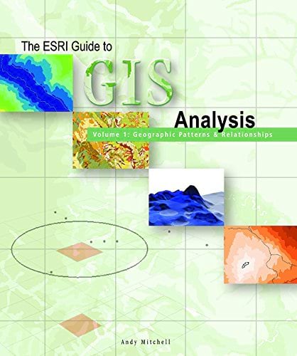
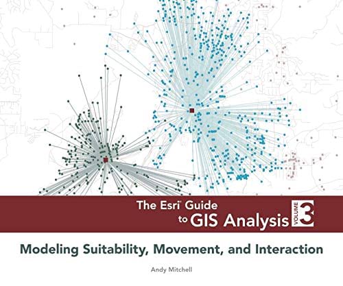
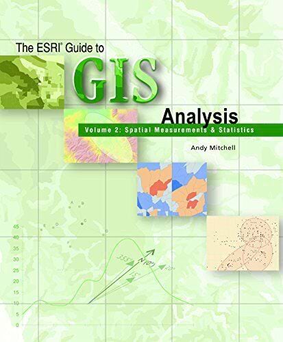
However, as I was leafing through Andy Mitchell’s Esri Guide to GIS Analysis at the User Conference this summer, I had a flash of insight. The table of contents of that wonderful three-volume guide to GIS can be read as an overview of geographic reasoning. Consider the following:
- Measuring geographic distributions
- Identifying patterns
- Identifying clusters
- Analyzing geographic relationships

This list happens to be the main chapters in the second volume of Mitchell’s series, but to me it reads like a clear list of the core components of geographic reasoning. I assume that Mitchell did not sit down to identify the conceptual categories of geographic reasoning. Presumably, he set out to create a well-organized overview of what you can do with sophisticated GIS software. However, the outcome here is the same as the one that many researchers in artificial intelligence seek.
Over the course of the last 50 years, GIS software developers set out to create a set of productivity-enhancing tools to support geographic reasoning. Over time, they increasingly externalized geographic reasoning in the software, so that when a modern instructor sets out to teach someone how to use GIS, what they are essentially doing is providing an overview of geographic reasoning.
The hidden benefit of GIS, therefore, is that GIS software has come to embody geographic reasoning to the point where the best way to explain to someone what geographic reasoning consists of may be to demonstrate to them what you can do with GIS.

Want to introduce younger children to geographic reasoning? How about using the following as a progression?
- Mapping where things are
- Mapping the most and least
- Mapping density
- Finding what’s inside
- Finding what’s nearby
Ready to teach advanced students about sophisticated forms of geographic reasoning? What about these?
- Finding suitable locations
- Rating suitable locations
- Modeling paths
- Modeling flow
- Modeling interaction
It will come as no surprise that I lifted the first list from the table of contents of volume 1 and the second from volume 3 of Mitchell’s series.
So the next time someone asks me what’s valuable about geography education, I won’t turn to John Snow and the 19th century. I will tell them about identifying patterns and clusters or modeling paths and flow.

