Without accurate and up-to-date basemaps, governments and other organizations face significant challenges. It is difficult to monitor crops to ensure food security, respond quickly and efficiently to natural disasters, track species to boost conservation, and plan critical infrastructure upgrades. Reliable basemaps are the foundation for efforts to protect people; advance economic growth; safeguard animals, plants, and their habitats; maintain facilities, roads, and utilities; and develop climate resilience.
Unfortunately, many African countries lack sufficient basemaps. That’s why—in addition to leading programs in Africa that promote the use of geospatial technology, geographic literacy, and data sharing—Esri is spearheading the new Map Africa initiative to create detailed, authoritative basemaps for every single country on the continent.

“It’s going to be a transformational project to ensure that every African country has access to reliable and up-to-date basemap data,” said Sohail Elabd, Esri’s director of international strategies. “Once countries have these basemaps, they can leverage them to plan infrastructure projects, manage land and cadastres, prepare for extreme weather, and build resilient cities. The opportunities for positive impact are endless.”
Breaking Down Geospatial Barriers Throughout Africa
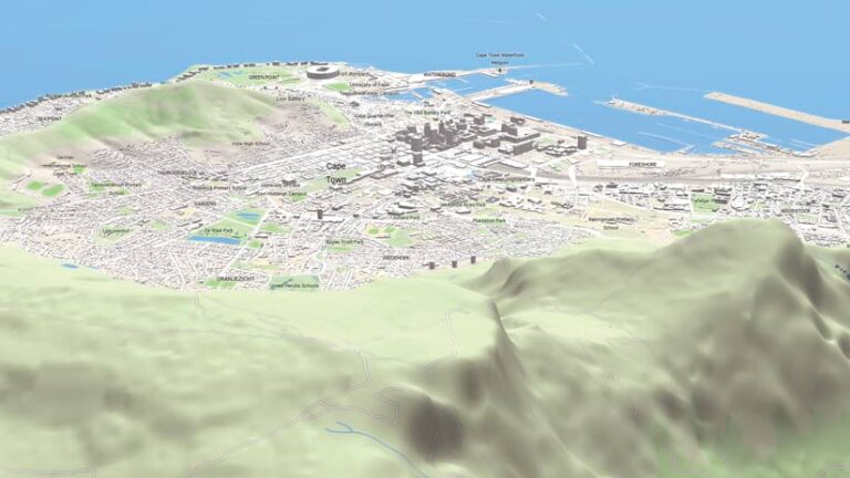
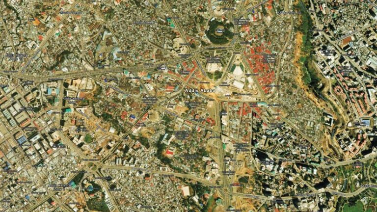
Esri’s existing 2D and 3D basemaps cover the globe—but basemaps are better in some areas of the world than others, depending on how advanced mapping operations are in each country. In many African nations, structural and economic challenges have hindered the development of robust GIS at the national level.
To help modernize mapping operations throughout Africa and in other low-income economies, Esri has offered its technology—including maintenance updates and support resources—at a fraction of the normal price to qualifying land administration and cadastral agencies for the past decade.
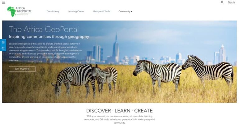
In addition, in 2019, Esri launched the Africa GeoPortal, a free platform that gives users across the continent access to ArcGIS technology, Esri’s e-Learning resources, and collaborative data-sharing tools. This initiative was designed to eliminate barriers to accessing geospatial technology and empower users to address local challenges using GIS.
“The idea behind the Africa GeoPortal is to make geospatial technology accessible to everyone,” said Elabd, the visionary behind the Africa GeoPortal. “It removes the obstacles that exist throughout much of Africa and allows people to focus their energy on building local solutions to address local problems.”

The Africa GeoPortal—which has more than 10,000 active accounts and records an average of 4,500 unique sessions per month—has greatly expanded access to geospatial technology and training across the continent. But it hasn’t resolved one critical issue: that African countries need reliable and comprehensive basemaps to encourage development, improve sustainability, stimulate economic growth, and more.
Developing Comprehensive Basemaps for Africa’s Future
Esri’s next major initiative, Map Africa, aims to create high-quality basemaps for every African country and provide them free of charge. These basemaps will leverage the latest ArcGIS technology, geospatial artificial intelligence (GeoAI), and partnerships with leading imagery providers to deliver a transformative resource for the continent.
“This will substantially raise the bar in terms of the quality of basemaps available in Africa,” said Deane Kensok, Esri’s chief technology officer for ArcGIS content. “It’s not just about providing maps; it’s about empowering local agencies to maintain and enhance those basemaps over time, ensuring their long-term value.”
The project is designed with sustainability and capacity building at its core. Esri plans to establish regional data production hubs in northern, eastern, western, and southern Africa, where local professionals will gather and process data. These hubs will also host trainings for national mapping agency staff to learn how to update, maintain, and secure their basemaps. This will enable national governments to use the basemaps for infrastructure planning, economic development, and strengthened climate resilience.
The first year of the initiative will focus on setting up the hubs and producing the initial basemaps. The next two years will be spent rolling out the basemaps to African countries, incorporating technological enhancements, and refining data layers. By 2030, Esri aims to have every African country using and maintaining comprehensive national basemaps.
A long-term goal of Map Africa is to encourage the development of a continent-wide spatial data infrastructure (SDI) to support intercontinental trade, collaboration, and planning. This SDI would allow African nations to share consistent, high-quality geospatial data across borders, enabling joint efforts in key areas such as disaster response, drought management, climate adaptation, and infrastructure development.
“For the first time, Africa will have high-quality basemaps that cover the entire continent,” said Elabd. “This could open the door to unprecedented regional collaboration, fostering sustainability and planning initiatives that will benefit all the nations involved.”

The Time to Act Is Now
Esri is actively working with a range of partners to secure the funding required for the Map Africa initiative. Collaboration with regional organizations, governments, and private-sector partners will ensure that the initiative aligns with local priorities and delivers maximum impact.
“We are working with stakeholders across Africa to ensure that Map Africa not only delivers high-quality basemaps but also creates a sustainable framework for their ongoing use and development,” Elabd emphasized.
The Map Africa initiative, alongside the Africa GeoPortal, represents a remarkable opportunity for African governments, regional organizations, and development partners to shape the continent’s future. By collaborating with Esri, stakeholders can leverage cutting-edge technology and comprehensive basemaps to drive domestic development and foster intercontinental cooperation.
Now is the time to act. Join Esri in building a reliable geospatial foundation for Africa that empowers nations to address local challenges, unlock regional opportunities, and pave the way for a prosperous future. Anyone interested in this project can email MapForAfrica@esri.com or reach out to their local Esri representative with inquiries or to share ideas.
Working together, this vision can become a reality.

