As maps have evolved from being largely paper prints to existing much more commonly in interactive web apps, the way users experience maps—and the data within them—has changed. While static maps can provide very good information, interactive web apps allow audiences to really connect with and explore the data in a map.
Apps are the user experience for digital maps and data. The tools and visualizations in apps guide users through the data and help them answer questions. That’s why when building an interactive web app, it’s important to consider how users should experience the data. What interactions should the app permit? And which app builder will support them?

If you are thinking of adding to the six million web apps that already exist in the ArcGIS Online system, take a look at some important factors to consider before building an app. Then check out some of Esri’s most popular app builders.
Four Questions to Ask
The ArcGIS Online ecosystem has a wealth of app builders that each support different purposes. Some are intended to gather data and analyze what’s nearby, while others communicate status and tell spatial stories.
Before selecting which app builder to use, creators should think about the purpose of the app; who’s going to use it; and what the design, in general, should look like. They should also bear in mind their own app-building skill levels and their knowledge of the data they’re working with. Depending on the project, some considerations might outweigh others, and at times, multiple apps might meet users’ needs. Of course, these choices also depend on personal preference.
What’s the purpose?
To help define the purpose of a web app, answer the following questions:
- What is the goal of the web app? Is there one goal, or are there many?
- What functions do users need to perform with the app?
- Is the data available and ready to use, or does it need to be collected or transformed?
Different data types, such as dates, attachments, and imagery, can unlock specific capabilities in different apps. So the data alone can determine the potential purpose of the app.
When an app is intended for multiple workflows and audiences, it usually works best to create more than one app. To ensure a streamlined user experience, it’s advisable to create one app for each purpose and audience type.
Who’s the audience?
Who will be using the app? Is it intended for the general public or seasoned GIS experts? Maybe it’s for senior citizens or residents under evacuation orders.
App creators need to identify who the core users are going to be and understand their technical abilities because each audience calls for different designs. For example, people who have grown up using technology are typically comfortable clicking or tapping buttons and figuring out what to do at each step, while people who adopted technology later in life need a guided workflow to gain confidence in interacting with an app.
Additionally, when creating apps for the general public, accessibility is a basic requirement. Specific colors and levels of contrast, for instance, make it easier for some users to see different components and buttons, and it is often necessary to ensure that apps work with assistive technology such as screen readers. If the audience is multilingual, it is critical that the app support multiple languages.

How should the design look and function?
Choosing an app builder depends in large part on how much control the creator wants over the app’s design. Key design choices include the following:
- How the audience uses the app—Choices such as how the scrolling works, what can be zoomed in on, and how to navigate through the app affect how users engage with the content.
- How much branding the app displays—For organizations with strict branding guidelines, app creators may need to select an app builder that supports custom Cascading Style Sheet (CSS), symbology, and styling.
- Whether different types of devices need unique experiences—Certain app builders have the option to create distinctive user experiences for audiences accessing the app on mobile browsers, on desktop browsers, or natively.
- The tools that come with the app—App creators need to figure out how users will interact with the data and maps in the app and where those tools should reside.
How tech savvy is the app creator?
Some app creators like to add customized details, while others stick to the template. Some people enjoy selecting each color and symbol, while others are content running with the defaults. These app-building skills and preferences greatly influence which app builder creators choose.
Also crucial is how much time they have to build the app. While anyone with enough time and interest can certainly learn new technology, in some cases, it is easiest for people to leverage their already existing skills and knowledge.
It is also important for app creators to consider how knowledgeable they are of the data they’re working with. The more familiar they are with it, the simpler it is to figure out what capabilities the app needs to have.
Four App Builders to Consider
After app creators consider the purpose of the app, its intended audience, general design specifications, and their own abilities, it’s time to choose an app—or several—for the project at hand.
ArcGIS Online users with a Creator or GIS Professional user type can author apps, and they have access to a variety of app builders. Four popular ones, highlighted below, are all built with ArcGIS API 4.x for JavaScript, which means they support the latest web mapping capabilities in the new Map Viewer.

ArcGIS Instant Apps
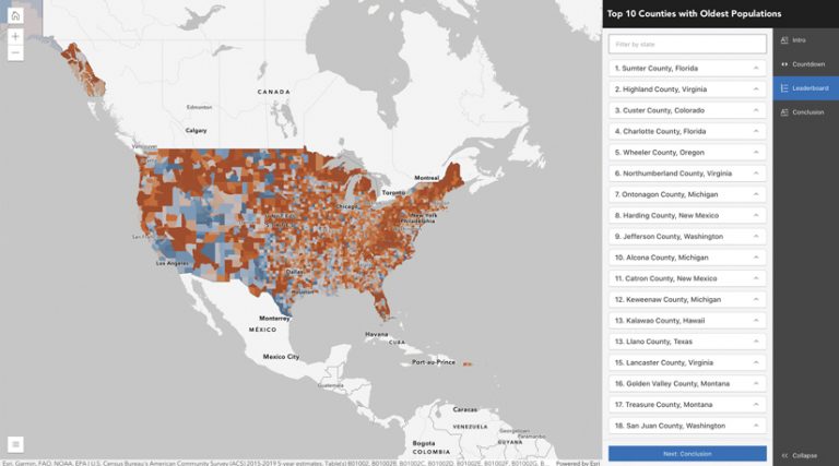
ArcGIS Instant Apps offers single-purpose apps that fulfill specific workflows. For example, the Nearby app shows people what’s around them, the Attachment Viewer app displays images and videos clearly, and the 3D Viewer app showcases 3D scenes. Selecting an app from Instant Apps is the fastest way to provide an intuitive user experience for the general public. Every Instant Apps template has a common set of tools, including search, navigation, and integration with web analytics. The apps are also optimized for use across devices and with assistive technologies.
ArcGIS Dashboards
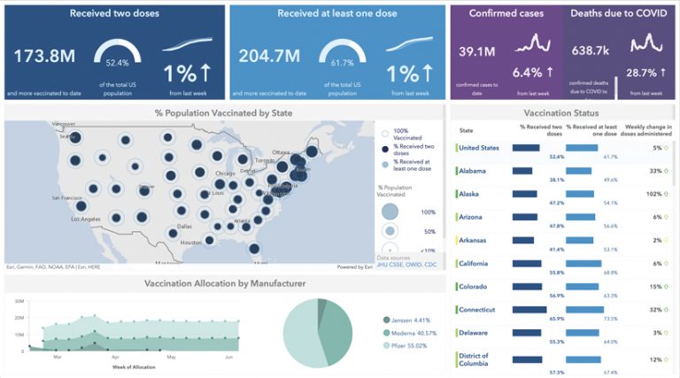
Dashboards are some of the most viewed GIS apps ever, and it’s no surprise why: they make it easy to understand data at a glance. The maps, lists, charts, and gauges that constitute a dashboard summarize information in visually appealing ways. These elements can be interactive as well, so when a user selects a map, list, chart, or gauge, the corresponding data populates the item. ArcGIS Dashboards makes for smooth configuration, too. All app creators have to do is drag the components to where they want them on the screen. Dashboards can be single- or multipurpose, and their design and customization options range from simple to complex.
ArcGIS StoryMaps
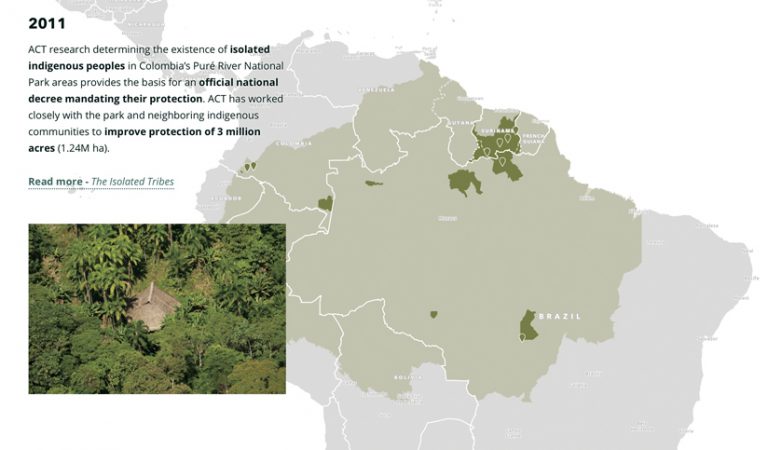
ArcGIS StoryMaps offers an innovative way to tell stories using GIS. These interactive apps guide viewers through a story using components such as videos, photos, maps, and narrative text blocks. The ArcGIS StoryMaps builder includes express maps, which provide a simplified map authoring experience. App creators can also incorporate existing web maps and apps from the ArcGIS Online ecosystem into their stories. The defaults in ArcGIS StoryMaps are stylish and modern, making it easy for anyone to create great-looking stories. Additional customization is available, and StoryMaps is optimized for use across devices.
ArcGIS Experience Builder
With ArcGIS Experience Builder, app creators can transform their data into compelling web apps by building the apps themselves, either using a template or by starting from scratch. There are plenty of widgets to choose from—including maps, images, text, and lists—that drive an integrated user experience and can be incorporated across one or multiple pages. Experience Builder can also showcase both 2D and 3D data in a cohesive view. The flexible builder allows app creators who have more experience and training to perform deep customization to support detailed branding; an assortment of more complicated audience interactions, such as scrolling and zooming; and unique experiences for mobile and desktop browsing.
ArcGIS Online contains many interactive web app builders that users can choose from. After determining the purpose of the app, who the audience is, what the design requirements are, and their own technical abilities, users who want to create apps can find the right app builder for their project.

