Quietly but surely, Ivan DeLoatch, executive director of the Federal Geographic Data Committee (FGDC), and his team have been transforming thousands of disparate federal geographic databases into a dynamic, coherent, and strategic resource for better governance, economic development, and public access. The once-staid FGDC has taken the lead in recent years in powering new platforms and methods for accessing, integrating, and using the United States’ plethora of valuable geographic data assets.
One of the FGDC’s many core endeavors is to help people better understand and address important issues using compatible geospatial data—for example, when agencies deployed public safety datasets from the Homeland Infrastructure Foundation-Level Data (HIFLD) Open Data site in support of hurricane response efforts in 2017. In addition, FGDC, through its member agencies, has worked with Esri to make key layers available in ArcGIS Online via ArcGIS Living Atlas of the World. Through this collaboration, Esri has turned these layers into high-performance, ready-to-use services that can be mashed up and shared openly.
Thanks to its small but highly talented and dedicated staff, the FGDC also manages a number of large programs. These include the massive National Spatial Data Infrastructure, metadata and standards programs, the GeoPathways Initiative for workforce development, and extensive international planning and coordination programs for geospatial and remote-sensing data. For more information on the FGDC’s leadership and indispensable contributions to our many GIS communities, visit fgdc.gov.

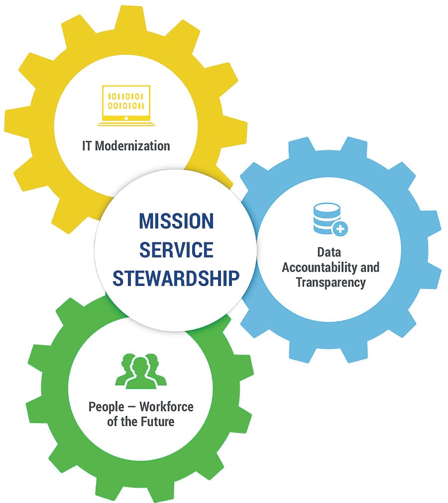
The new President’s Management Agenda (PMA), released by the Office of Management and Budget in March, singled out the FGDC’s management accomplishments as a model for enterprise governance. The PMA’s enterprise governance agenda identifies three key drivers of transformation: modernizing IT systems, promoting data accountability and transparency, and realigning the federal workforce for the twenty-first century. The FGDC’s multiple geospatial programs address and support all three of these efforts.
The PMA report also sets out priorities for generating and managing government data as a strategic resource by, for example, establishing data policies; specifying roles and responsibilities for data privacy, security, and confidentiality protection; and monitoring compliance with standards throughout the information life cycle. It specifically states that the federal government’s new enterprise governance strategy will build on “the Federal Geography Data Committee’s notable successes implementing portfolio management processes for federal geospatial data assets and investments [that] helped agencies to more efficiently support their mission and priorities.”
Coordinating and working together across all federal governmental agencies on geospatial issues—as well as with state, local, and tribal governments and the private sector—are not easy tasks. Fortunately, the newly appointed chair of the FGDC, Dr. Tim Petty, has the right combination of political experience, scientific expertise, and determination to do just that. Petty holds a PhD in the geosciences and has served as senior staff on key Senate committees for many years. He is now assistant secretary for water and science at the US Department of the Interior, in addition to being chair of the FGDC.
DeLoatch, Petty, and the FGDC staff have worked hard—and creatively—on behalf of our robust and growing GIS and geospatial communities. By continuing to collaborate across the full range of the geospatial ecosystem, I am confident that we will continue to create a more central role for geographic data and knowledge in our governments, businesses, and throughout society.
Contact Doug Richardson at drichardson@aag.org.


