Professionals from United Arab Emirates Visited Esri’s Redlands Campus for Five Days of Learning and Collaborating
As historic flooding drenched the United Arab Emirates (UAE) cities of Dubai and Sharjah on April 16, 2024, software engineer Mohammad Al Tayer was among those supporting response efforts by using GIS to gather critical information for the Dubai Municipality.
“It’s a matter of making sure that the correct data is presented at the right time, and easily presented to the right people,” he said.
Less than a week later, Al Tayer was among a high-level delegation of UAE professionals sitting inside Esri’s Redlands headquarters in Southern California. The group was gathered for an Esri Executive Briefing (which was arranged well before any flooding happened) to share and exchange information with one another and Esri developers and leaders.

The Esri Executive Briefing Program, which aims to foster and grow the company’s relationships with its users, began several years ago and was revived following the pandemic under the direction of Linda Peters, Esri’s executive program and Geo Experience Center (GeoXC) director. A team within Esri’s GeoXC coordinates the visits, which can last anywhere from a few hours to several days.
Since 2023, Esri has hosted more than 100 briefings across industries, including for national, state, and local government agencies; utilities; and education organizations. The rate of briefings is steadily increasing as well. Less than a week after the briefing for UAE professionals, for example, the team hosted a contingent from Indonesia focused on the development of the country’s new capital city, Nusantara.
Listening to Customers’ Needs and Wants
Before any briefing, Peters and her team work to understand the client’s mission and the goals of the meeting. They then coordinate with the customer’s account team to prepare tailored content to present. They also seek out subject matter experts who can educate participants, discuss application areas such as site suitability or supply chain location analysis, and help answer questions.
The priorities that each client brings to a briefing are unique. They can revolve around overcoming specific business challenges, modernizing GIS implementations, leveraging technology to come up with innovative solutions, saving time, or increasing efficiencies.
“They want to know more about our issues, our problems, how they can solve [them],” Al Tayer noted of the subject matter experts who presented during the visit. “You feel that we’re working together to make this product beneficial for both sides,” he said of Esri’s technology.
When Esri’s experts did a presentation about ArcGIS Hub, for example, Al Tayer said he was interested in how the collaborative cloud platform would be compatible with his organization’s technology.
“Is it easy to deploy? Are the any prerequisites that I need to keep in mind? And we got the answers like that here,” he said, snapping his fingers. “Now it’s just a business decision if we’re going to go ahead, if we’re going to implement it, and how we’re going to implement it.”
Hearing Directly from Experts
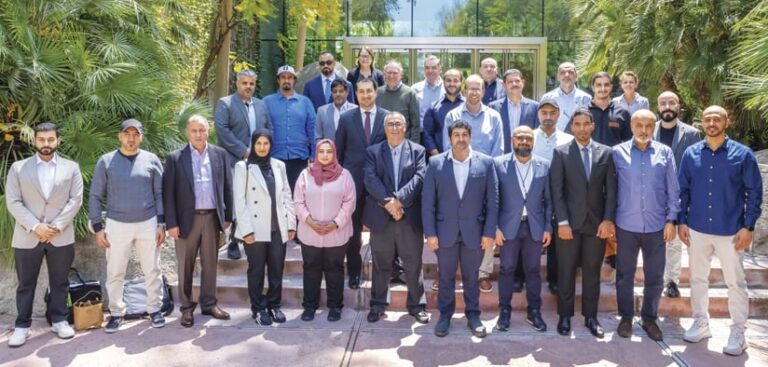
For five days, the 21 GIS professionals, software engineers, urban planners, and utility managers from the UAE were afforded a unique view into the technology that provides them with vital location intelligence. Participants were able to meet with Esri leadership, each other, and other Esri users to learn from their experiences.
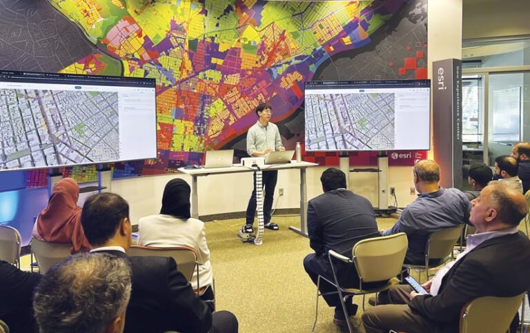
Several participants noted how pleased they were to see Esri’s advancements in AI during a session led by Ismael Chivite, Esri’s senior principal product manager for AI assistants in ArcGIS. The small size of the groups hosted on campus allow for “a level of interaction and discussion that is not possible through a webinar or conference,” Chivite said. “It is obviously an investment of time for the customer and Esri, but it’s a great opportunity for both to collaborate.”
The delegation included participants from several UAE municipalities; utilities; governing agencies, including the country’s space agency; and the UAE’s largest telecommunications company. Two representatives from gistec—Esri’s official distributor in the UAE—who spent several months organizing the briefing’s logistics alongside the GeoXC team, also attended.

Meeting in person made it easier to ask questions and get answers, said Khawla Al Fahim, director of the geospatial data management department for the UAE’s Department of Government Enablement.
“You meet the people who are involved in either developing the [GIS] tool or are experts in using [it],” she said.
Al Fahim’s department uses GIS primarily as a communication tool to support solution-oriented decision-making among UAE agency leaders. She said she was pleased to see the development of Esri’s AI-enabled assistant tools, given that her agency has been experimenting with new AI communication technology.
“Coming here, I saw the different solutions that Esri has been coming up with, and I have a very, very long shopping list that I’ll be discussing with the team,” she said.
Seeing—and Being Part of—the Road Map
Dubai Electricity and Water Authority (DEWA) has used GIS to more clearly see the distribution of its network, which includes 4.5 million assets, as well as the areas that were impacted by the April flooding. Visualized in topographic layers, DEWA has been able to identify locations that may be prone to collecting water in the future.
Adel Al Tamimi, director of digital products and solution management for DEWA, noted that he and his team have regular interactions with other UAE municipalities and agencies amid day-to-day business. Yet the visit to Esri’s campus offered a valuable opportunity for them all to socialize and share knowledge in person.
In talking with Esri’s leaders, he said, he was also able to “freely communicate our ambitions and our wishes to improve the products further in the future.” He added, “We had the privilege to see the road map and what’s under development currently in the pipeline and what will see light in the future. That also made us feel that we’re part of this community of development and we are becoming part of the road map.”
In addition to hearing from Esri developers and leaders, participants visited Orange County Public Works and the City of San Diego. They also met with officials from Riverside County and Southern California Gas to learn about how they’re applying GIS in their organizations.
Adnan Sharaf, who’s with the Al Ain Municipality, appreciated the real-world examples of GIS technology in action. “Here you can see the case study,” he said.
Mohamed Abuziad, CEO of gistec, started organizing international GIS executive visits for UAE-based organizations in 2009 with a trip to Esri Canada in Toronto. April’s trip was gistec’s first organized Executive Briefing Program visit to Redlands.
“There is discovery,” he said of this event that exposes participants to new and additional ways to use GIS. He’s witnessed how the participants start to share knowledge, and how friendships form. “It has a different flavor,” he said of the visit.
As Abuziad talked, Esri president Jack Dangermond, who had spoken to the group earlier in the week, visited the Esri Café, where attendees were finishing lunch, and chatted with some members of the group.
The site visit was Al Tayer’s first time meeting Dangermond, and he said he was surprised and reassured by how much the Esri founder understood each of the attendees’ circumstances and needs.
“To add to that, he’s very knowledgeable in terms of what he wants, what is Esri’s strategy, and where they want to go,” he said. “It really aligns with what we’re looking for.”

