Free Open Data, Data Downloads, and Web Services
Working with federal agencies, Esri is opening up access in ArcGIS Online to dozens of high-priority, high-demand national data layers, often referred to as A-16 data. These include cartographic boundary files and demographic data from the US Census Bureau; National Agriculture Imagery Program (NAIP) data from the US Department of Agriculture (USDA); and the National Inventory of Dams (NID) database, managed by the US Army Corps of Engineers.
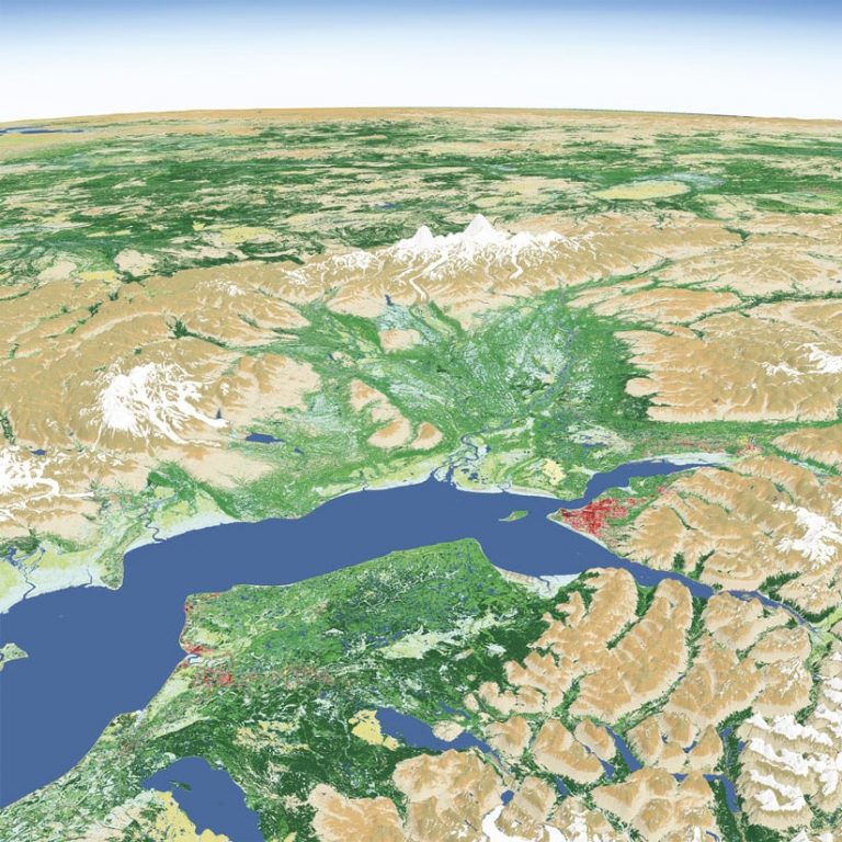
Esri is making three significant enhancements that will broaden access to A-16 data. First, this data collection is now publicly accessible under an open commons license agreement, making it free for anyone to use. Second, the data is available for download in a variety of interoperable formats. And third, it is served as both Esri and Open Geospatial Consortium, Inc. (OGC)-compliant services, meaning it is ready to incorporate into apps.
These open data services are provided through ArcGIS Living Atlas of the World, which significantly expands their visibility. Additionally, the new open-access license, along with added technical options for using the data services, extends their reach beyond the Esri community. This supports the vision of the Geospatial Data Act of 2018 (GDA), which seeks to empower more people to use geospatial data, and breaks down more barriers to interoperability.
The Data Is There—Now It’s Time to Open It Up
Globally, the trend is toward making data more open, accessible, and reusable. The number of public open data sites provided by national agencies as well as state and local governments around the world has skyrocketed, with more than 11,000 powered by ArcGIS alone.
Recent legislation in the United States, including the GDA and the Open, Public, Electronic, and Necessary (OPEN) Government Data Act, is pushing this movement forward at the national level. It calls on all agencies that serve National Geospatial Data Assets (NGDA)—the priority national data layers—to expand standards-based open access. The overriding intent is to foster greater public and private sector use of federal data to encourage innovation and data-driven decision-making.
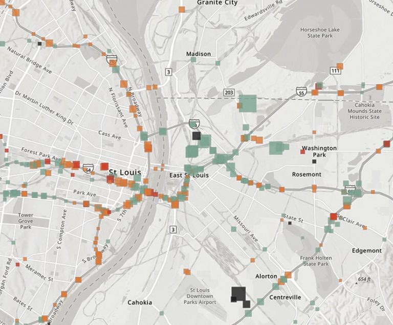
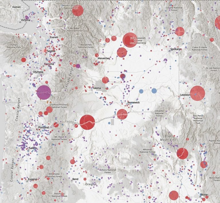
US federal agencies have excelled at creating and managing critical geospatial data to meet their own needs. Disseminating the data widely and making it available as accessible, usable services are more recent endeavors. Successful examples of open data providers at the national level do exist, though. For example, the Department of Homeland Security’s Homeland Infrastructure Foundation-Level Data (HIFLD) program works with multiple federal agencies to curate and serve out geospatial data services. Demand for these web services is growing, with usage up 75 percent from 2019 to 2020. So the desire for open federal data is there.
But this is just the tip of the iceberg. Vast amounts of federal data exist, although many data owners have yet to modernize their data management and dissemination infrastructure. Increased collaboration among Esri and federal agencies will accelerate the pace at which more data is openly served.
Expanding access to federal data by making it public in ArcGIS Living Atlas empowers a wider audience to address challenges such as climate change, disaster relief, broadband access, and racial equity. Furthermore, offering that data as services makes it readily usable by not only GIS professionals but also web-savvy developers, scientific audiences, and even citizen scientists and app developers.
This is the only way to satisfy the data demands of today and tomorrow and increase the value of the investments made in geospatial data.
New Levels of Inclusiveness and Interoperability
To help address current data access and use challenges, Esri is working collaboratively with federal agencies to amplify their good work by increasing the visibility of their data and delivering it in app-ready formats.
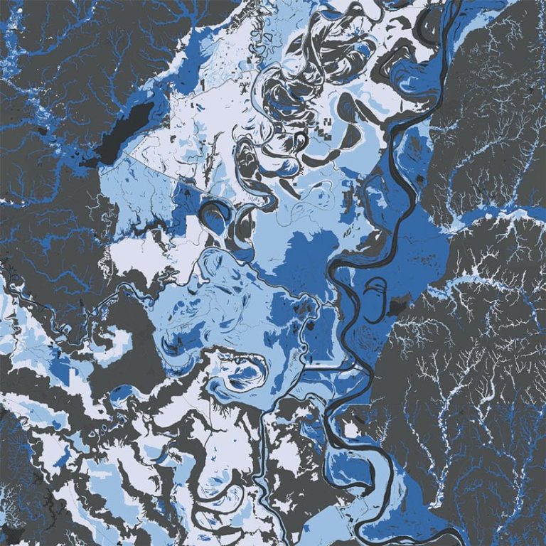
A new collection of federal maps and apps is now available in a curated, Esri-managed group in ArcGIS Online called the US Federal Maps and Apps organization. To government users, this collection of data is known as A-16. To everyone else, this is a fantastic collection of nearly 100 national geospatial datasets on things like dams, bridges, federal public lands, runways, and rail nodes. The collection serves the Esri and broader geospatial user communities as well as the open-source and web developer communities.
To enable enhanced open access to this collection, Esri is changing both the terms of use and the technical parameters of the data. The collection is now available under the Creative Commons Attribution 4.0 International (CC BY 4.0) license, meaning anyone can use, share, and adapt the data with proper attribution. This considerable policy update removes a historic barrier to access.
On the technical side, Esri is making cached and direct connections to public services within the federal government. The layers can be exported to multiple open formats, such as shapefile, CSV, KML, and GeoJSON, to perform further analysis. They are also accessible as OGC-compliant standards, like Web Map Tile Service (WMTS) and Web Feature Service (WFS), as well as Esri formats to support interactive exploration, visualization, and analysis. The geospatial layers are updated regularly and reference the federal agencies’ metadata.
These advancements in open access to federal data demonstrate a new level of inclusiveness and interoperability across the geospatial community. Nadine Alameh, the OGC’s chief executive officer, welcomed this development.
“I’m happy to see a practical, operational example of how open standards and services can advance the GDA objectives,” she said. “Thank you, Esri, for making this government data available not only to its vast geospatial community but also anyone through open OGC services, enabling further interoperability and innovation.”
Benefits That Cut Across Governments and Sectors
This collaborative effort implements a “create once, use many times” philosophy.
Because the federal government produces and manages key data, the pressure is reduced on other organizations to engage in these time-consuming and cost-intensive tasks. Once that data is created and shared, it is thus advantageous for users to have many pathways for finding it. While federal agencies can publish their data on their own websites, put it on thematic or regional portals, and post it to the Federal Geographic Data Committee’s (FGDC) GeoPlatform, making the data available through Esri technology just amplifies its exposure and increases the likelihood that it will be discovered and used.
According to Ivan B. DeLoatch, executive director of the FGDC, developing public-private partnerships is critical to advancing the United States’ National Spatial Data Infrastructure.
“The exploration of a public partnership [between] Esri and the FGDC community will be an exciting opportunity to support the ongoing development of our National Geospatial Data Assets, or A-16 datasets,” DeLoatch said. “This will encourage the use of open data and standards, as well as data sharing initiatives with stakeholders, to address national challenges and priorities.”
For example, the data needs of state and local governments do not stop at their borders. They often rely on federal data to add broader perspectives to local projects and initiatives. The National States Geographic Information Council (NSGIC) has long advocated for the federal government and organizations across the country to provide openly accessible and interoperable geospatial services. And Frank Winters, current president of the NSGIC and executive director of the New York State Geospatial Advisory Council, commended this effort for advancing that vision.
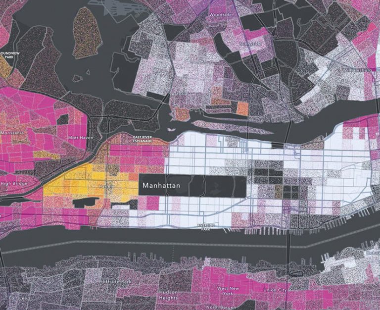
“We need to maximize the reach of geospatial data, and that means we should think of everyone as a decision-maker,” said Winters. “When our data reaches thousands or millions of people—to help them decide where to live, buy property, go to school, or start a business—our impact can scale to a point where it moves the dial of our economy. Removing barriers to high-quality spatial data, time and again, results in people using data in ways I could never predict, making interesting and meaningful contributions to their communities.”
In the commercial sector, for instance, large companies with assets and interests spread throughout the United States need data that cuts across cities, states, and regions. Having high-quality national datasets on a variety of topics that are easy to access and available as services benefits countless businesses, from national retailers and insurance companies to railroads and utilities. It saves them the time and money required to gather and process the data themselves and enables them to carry out important operations more quickly and cost effectively, such as conducting risk assessments, doing environmental screenings to evaluate the feasibility of getting a project permitted, and analyzing growth opportunities.
Continuing to Elevate Federal Data
Geospatial data is critical to understanding and meeting the challenges that continually crop up all over the world. Esri is committed to collaborating with federal government organizations and agencies to make their spatial data easy to access and use so that it can better serve the geospatial community; developers; scientists; and, ultimately, people.
It is Esri’s goal to build on the great content that federal agencies already collect and bring it to life through well-documented, open, and interoperable services and downloads. This cooperative effort will elevate the value of that data through increased usage, fuel the development of problem-solving apps across all sectors, and spur new innovations.

